Guatemala
Title: Mexico and Central America
a geographical reader
Author: Harry Alverson Franck
Release date: July 4, 2026 [eBook #79021]
Language: English
Original publication: Dansville: F.A. Owen Pub. Co., 1927
Other information and formats: www.gutenberg.org/ebooks/79021
Credits: Richard Tonsing and the Online Distributed Proofreading Team at https://www.pgdp.net (This book was produced from images made available by the HathiTrust Digital Library.)
Transcriber’s Note:
New original cover art included with this eBook is granted to the public domain.
A series of Geographical Readers for Intermediate Grades, written by Harry A. Franck and published by F. A. Owen Publishing Company:
Books by Mr. Franck published by The Century Company, New York:
A Vagabond Journey Around the World
Four Months Afoot in Spain
Tramping Through Mexico, Guatemala and Honduras
Zone Policeman 88
Vagabonding Down the Andes
Working North from Patagonia
Vagabonding Through Changing Germany
Roaming Through the West Indies
Glimpses of Japan and Formosa
Wandering in Northern China
Roving Through Southern China
East of Siam (French Indo-China)
The very best way to give boys and girls a clear idea of just what life is to their brothers and sisters of other lands is to take them through those lands. If they cannot go in person (and of course few can), a well-written story of travel will be a valuable substitute for personal experience.
To be of educational value to the reader, a book of travel must first of all be authentic. It must have been written by one who knows at first hand the things about which he writes. A superficial knowledge gained by flitting through a country along its main traveled routes is not sufficient to enable a writer to tell a complete story about it.
Among the notable travelers of our time, probably none has more thoroughly covered many countries than Harry A. Franck, the author of this book. His travels have not been mere sight-seeing tours. He has gone into the out-of-the-way places and lived in the homes of the common people, to study their habits and manner of living. He has visited their temples and schools. He has learned something of their language and talked with them on all manner of subjects so as to become familiar with their views of life.
From boyhood, Harry Franck had a desire to know about the great outside world. In 1900, during his first summer vacation while attending the University of Michigan, he set out, with only $3.18 in his pocket, to see something of Europe. He worked his way across the ocean on a cattle-boat, visited the principal cities of England, then Paris and the Exposition that was being held there. He signed as an able seaman for the return trip and reached Ann Arbor for the fall term, only two weeks late.
6Mr. Franck worked his way through college and intended to make teaching his profession, but that first European trip gave him an appetite for more travel. When he was graduated, he started out, with only enough money to buy supplies for his camera, to work his way around the world—which he did in sixteen months. After this trip he wrote A Vagabond Journey Around the World, which is regarded as one of the most remarkable books of the kind ever published. Since then he has written many other volumes telling of his experiences. During more than twenty years of travel, Mr. Franck has covered half a hundred countries. He has journeyed 50,000 miles on foot and at least an equal distance by primitive native methods. He carries equipment for obtaining the best possible pictures. Many of the illustrations in this volume are from photographs taken by him personally. They give intimate and unusual glimpses of peoples and places.
Mexico and Central America may be given to children as supplementary reading with the assurance that it is based on actual facts most carefully verified. The world to-day is not what it was even a decade ago. Conditions, customs, the very people themselves have changed; some greatly, some slightly. A book of this kind, to be really helpful, must reflect these changes. It is no less true, however, that such a book should be concerned chiefly with those characteristics and aspects of a country and its people which have an element of permanence. For this reason, the perplexing internal problems of the countries visited are, for the most part, merely touched upon by Mr. Franck. To do more would be outside the scope of a geographical reader.
As children read about our Latin-American near neighbors, we feel confident that they will be impressed with the fact that the people of the whole world are one great family; that what affects one nation affects all nations sooner or later, and to a greater or less degree. Children, like adults, must be led to see that people everywhere have their virtues and ambitions, their trials and hardships, and that the misfortune or the prosperity of one country is reflected in other countries far away.
Knowledge of these facts should prompt us to work for the peace and well-being of all peoples, particularly through the channel of our schools. In this connection, Payson Smith, Commissioner 7of Education for Massachusetts, has aptly said: “Education in all lands should lead the youth to recognize those interests which are common to humankind, to magnify the virtues which all men hold in common, to minimize those differences and distinctions which divide, and to interpret the history of race and nation in those terms that are helpful to world progress as well as to national self-respect.”
To the Century Company, New York, publishers of Mr. Franck’s Tramping Through Mexico, Guatemala, and Honduras, grateful acknowledgment is made for permission to use certain of the author’s photographs which first appeared in that volume. The illustrations referred to are on the following pages of this book: 21, 27, 31, 33, 36, 47, 68, 69, 70, 74, 76, 79, 84, 85, 86, 96, 103, 105, 110, 111, 137, 156, 165, 166, 167, 168, 170, 176, 179, 191, 206, 207, 208, 213, 215, 217, 218, 220, 223.
For courteous and generous response in providing other illustrations, we are indebted to the following: Mr. J. M. Bejarano, secretary of the Mexican Chamber of Commerce of the United States, New York; Mr. C. A. McIlvaine, executive secretary, The Panama Canal, Canal Zone; United Fruit Company, Boston; Panama Mail Steamship Company, San Francisco; Ward Line and Wendell P. Colton Company, New York; Resorts and Playgrounds of America, New York (publishers of Picturesque America); International Harvester Company of America, Inc., Chicago; Pan American Union, Washington, D.C.
The proofs were critically read by Mr. J. M. Bejarano (mentioned above), Mr. P. K. Reynolds of the United Fruit Company, and Miss Lena M. Franck, the author’s sister. To all of these appreciation is due.
Guatemala
Honduras
Salvador
Mexico
Nicaragua
Costa Rica
Panama
| CHAPTER PAGE | ||
| I | Our Southern Neighbors | 11 |
| II | On Both Sides of the Border | 17 |
| III | Traveling as the Mexicans Do | 29 |
| IV | Something of Mexico History | 39 |
| V | Northwestern Mexico | 53 |
| VI | On the Great Table-Land | 64 |
| VII | I Go to Work in a Mine | 73 |
| VIII | Varied Products and How They Are Sold | 87 |
| IX | City and Country Life in Mexico | 95 |
| X | Getting Acquainted with Mexico City | 108 |
| XI | Recreations and Social Life | 124 |
| XII | The Mexican Government | 134 |
| XIII | Round About the Mexican Capital | 141 |
| XIV | My Journey to the Gulf Coast | 151 |
| XV | Tropical Mexico | 163 |
| XVI | Through Guatemala on Foot and by Rail | 174 |
| XVII | A Contrast in Civilizations | 186 |
| XVIII | In the Depths of Honduras | 200 |
| XIX | A Very Peculiar “Royal Highway” | 209 |
| XX | Industrious Little Salvador; and Belize | 224 |
| XXI | Nicaragua, and American “Co-operation” | 233 |
| XXII | Costa Rica—The “Rich Coast” | 247 |
| XXIII | Panama and the Great Canal | 259 |
| Pronunciation List | 283 | |
| Spanish Possessions after the Louisiana Purchase | 51 |
| Proposed Nicaragua Canal Route | 239 |
| Relief Map of the Panama Canal | 266–267 |
| Panama Canal and Canal Zone | 269 |
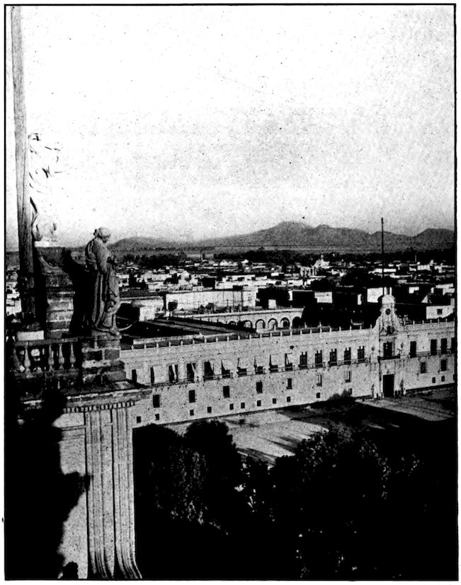
Underwood & Underwood
Beautiful Mexico City, circled by mountains, as it looks from the Cathedral clock tower. In the foreground is the National Palace.
The foreign land nearest to our United States of America is Mexico. Although most of us live closer to Canada than to Mexico, we hardly think of the Canadians as foreigners. True, they are citizens of the British Empire, and do not vote in our elections. But any of you who have been in Canada know how much it is like home—how very few things are different at all.
Mexico, on the other hand, is very foreign indeed. The Mexican people and their ways, even the Mexican scenery and climate, are as unlike us and our ways, our scenery and climate, as if they were on the opposite side of the globe instead of just across a shallow river. Yet close as it is, and interesting as it would prove to be, most of us know and care less about Mexico than we do about Europe. A thousand Americans cross the Atlantic and travel in Europe to one who steps across the Rio Grande and enjoys visiting our quaint southern neighbors. In school we study a great deal about European history, but most of us never hear 12of Mexico in history class, except in connection with what we call our Mexican War.
Surely it is important to know one’s closest neighbors; so I am going to invite you to come with me on what I think will be an interesting journey, not only through Mexico but clear down through Central America, with its half dozen smaller and smaller republics, until we reach our own people again along the Panama Canal. Some of the traveling will be rough; sometimes our lodgings will not have all the comforts of home. But I will do all the walking and coarse eating and hard sleeping for you, so you can give all your attention to the pleasures of the trip and bring home a clear knowledge of the people and the land so close to us.
Sometimes it is fun to visit a foreign country before we know anything about it, but in the end it is not the wisest plan to do so. Before we start it will be worth while to stow away in our knapsacks a few facts about Mexico and the smaller lands beyond.
In Mexico we shall be in another United States, for the official name of the country is the “Estados Unidos Mexicanos,” which means the “United States of Mexico.” If, some day, you go on traveling with me beyond the Panama Canal, into the great continent of South America, we shall find still other United States. There are twenty-eight states in Mexico, two territories, and a federal district. The capital is in the federal district, which is almost surrounded by the 13state of Mexico. On the south it is bounded by the state of Morelos. Some people are surprised that the name Mexico should be given to a city, a state, and a country. They forget that, for example, part of New York City is in New York County, and all of it is in New York State.
Mexico is about two thousand miles long. Its width varies from one thousand miles, up near the northern border, to a mere 130 miles down at its “wasp’s waist” of Tehuantepec. It has a coast line of nearly six thousand miles. You will notice that this is much more than double the length of the country, and the reason is that the Pacific Ocean all but surrounds the great peninsula of Lower California, while the peninsula of Yucatan stretches far out into the Atlantic to help form the Gulf of Mexico. The country has one large lake. Very few of its many rivers are navigable.
Some people like figures, even if they are very large ones. For them we may say that Mexico has nearly 800,000 square miles of territory. Perhaps most of you, like myself, will get a better idea of its size if I say that it is almost as large as our five biggest states rolled into one—Texas, California, Montana, New Mexico, and Arizona. Down in Central America, however, we shall find that the country of Costa Rica is hardly as large as Pennsylvania, and that Salvador is no larger than New Jersey.
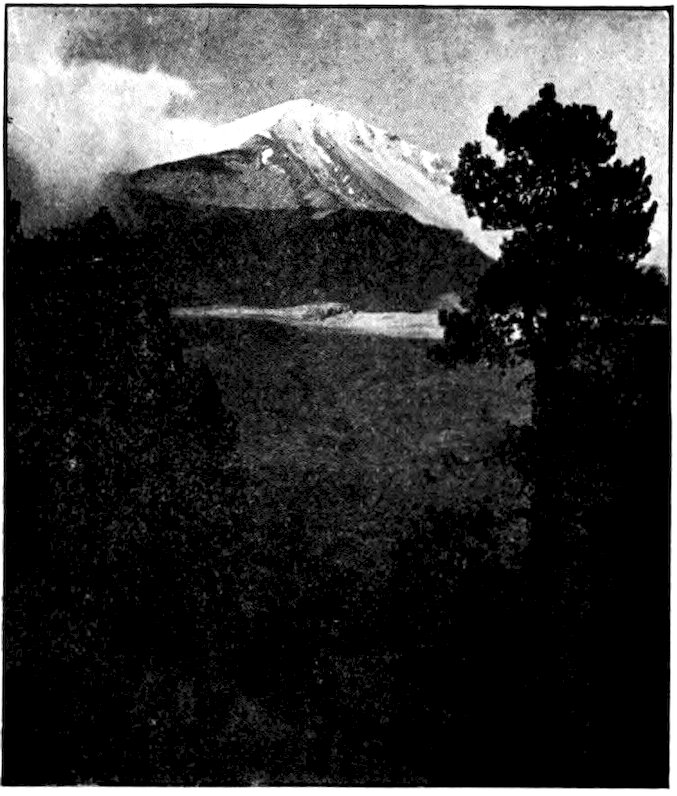
Ward Line. Photo by Hugo Brehme, Mexico City
Miles away one can see the snow-covered head of Mount Orizaba.
Mexico is a land of mountains. It is really an immense table-land or plateau, beginning far up in the Rocky Mountains. Ciudad Juárez on the frontier is more than 3,700 feet above sea level, and within two hours’ train ride of Mexico City this great plateau is 8,100 feet high. Then it begins to subside, running down to almost nothing in the Isthmus of Tehuantepec. We might liken it to a great land wave (with the nation’s capital just over its crest) topped by many snow-clad peaks as white as foam. The Sierra Madre, or “Mother Range,” runs the whole length of the country, as the Rockies do in ours. Besides this main ridge, nearly everywhere more than 10,000 feet high, there are many cross ridges and parallel ranges. Of the great peaks, always capped with snow and ice, Orizaba is over 18,000 feet high, Popocatepetl and Ixtaccihuatl, 15the “Sleeping White Woman,” are each over 17,000. None of them is as high as Mt. McKinley in Alaska or the giants of South America. Yet there are volcanoes in Mexico which, though as lofty as Mt. Whitney (highest point in the United States proper) are so unimportant, compared to the others, that we do not even know their names.
As you may already know, there are about fifteen million people in Mexico. It would be difficult to take as accurate a census there as is taken every ten years in the United States. About one-fifth or twenty per cent of the inhabitants are purely of the white race. Thirty-five per cent are Indians. The rest, or nearly half the population, are mestizos, that is, mixtures of the Indians with the Spaniards who conquered them. In one sense North America south of the United States is not a white man’s country. Yet in another sense it is, for the white inhabitants do most of the governing and have most of the wealth. The pela’os, or “peeled ones”—those who are very poor and have no real say in the government—make up about sixty per cent of the population.
Central America includes all the countries between the Isthmus of Tehuantepec and Colombia. Sometimes Mexico also is considered a part of Central America, which seems reasonable enough, for it is surely a part of the central portion of land of the western hemisphere. The whole of this region we are to visit has been likened to a great horn, fastened to the United 16States as to a head. The horn—or the imaginary animal that owns it!—seems to be trying to gore South America with the sharp curved tip which we call the Isthmus of Panama.
Central America includes the countries of Guatemala, Honduras, Salvador, Nicaragua, Costa Rica and Panama, and the British crown colony of Belize, often called British Honduras. Except this last, and little Salvador, all the countries of Central America are like Mexico in stretching clear across the continent from the Atlantic to the Pacific. They somewhat resemble a family of children, lined up according to size, with Mexico as the big brother. We shall see, too, that they have tried several times to live together as one family, but they do not seem to be able to do so peaceably.
Perhaps this is enough to know before we start on our journey. If we know too much about a country before we visit it, we lose much of the pleasure of travel. For then there are no more surprises left for us than there are in a story of which we know the plot. Yet one other matter should be mentioned before we start—the climate. If you think that because Mexico is so far south you will need only summer clothing, you will have many a day of shivering before you reach Panama. Take along the things you wear at home in late autumn and early spring, and remember that there will be many days, and especially evenings, when you will need at least a light overcoat. Most of the time in Mexico we shall be up on the high table-land, and even in Central America we shall sometimes be as high above the sea as Denver is.
For Americans, Mexico is easy to reach. If you like an ocean voyage you can take a steamship from New York, New Orleans, San Francisco, or almost any of our other large ports. If you prefer to go by land, you can step into a sleeping-car and be carried all the way to Mexico City.
Not only Texas, but New Mexico, Arizona, and California border on Mexico. In fact these last three states are closer to it than Texas is, for the western half of the boundary—beyond the Rio Grande—is merely an imaginary line. Along that there is no barrier to cross, though customs officers and other officials may make you feel that there is. Americans who are forgetful of their geography often think of the Rio Grande as forming the entire boundary.
On the opposite sides of the frontier stand many pairs of towns—like twins facing each other! The largest border town on the United States side is El Paso (Texas), which means “The Pass.” It is almost in the center of the long boundary that stretches from the Pacific to the Gulf of Mexico, just where the Rio Grande begins to be the dividing line. There are four bridges between El Paso and Ciudad Juárez across the river. One of them is used by street cars that run in 18both countries. Think of going to a foreign country in a street car!
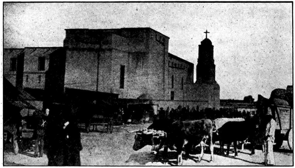
San Diego & Arizona Ry.
The market place and church in Juárez, across the Border from El Paso, Texas.
I first entered Mexico much farther eastward, at Laredo, Texas. I might have gone across in a train, but I decided that I would rather walk. I wished to see the boundary shaft, with its silver sides bearing the coats of arms of the two countries. This is in the middle of the bridge. Besides, there was the famous river itself to be seen.
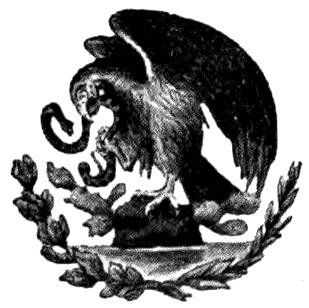
The “Wild River of the North,” as the Mexicans call the Rio Grande, seemed a queer name for the sluggish and dreary stream that flowed slowly past beneath me. Its thirsty banks reminded me of the Mexican coat of arms which, like our own national emblem, has an eagle on it, but an eagle perched on a spiny cactus 19and holding a rattlesnake. Rough, barren country, sparsely inhabited, borders the Rio Grande. Nothing larger than a rowboat can navigate the river; there are almost no fish in it; it turns no mill wheels or electric-lighting machinery. Its only job seems to be to form the boundary, and even that it does not always do properly. For one thing, it bends and twists and wanders as if it were not sure just where it wished to go. Thus the border it marks is more than two thousand miles long, though only about half that distance in a straight line. It changes its mind—I mean its course—so often that we have to have a commission in Washington to keep the farms along it from changing nationality every time it decides to take another twist.
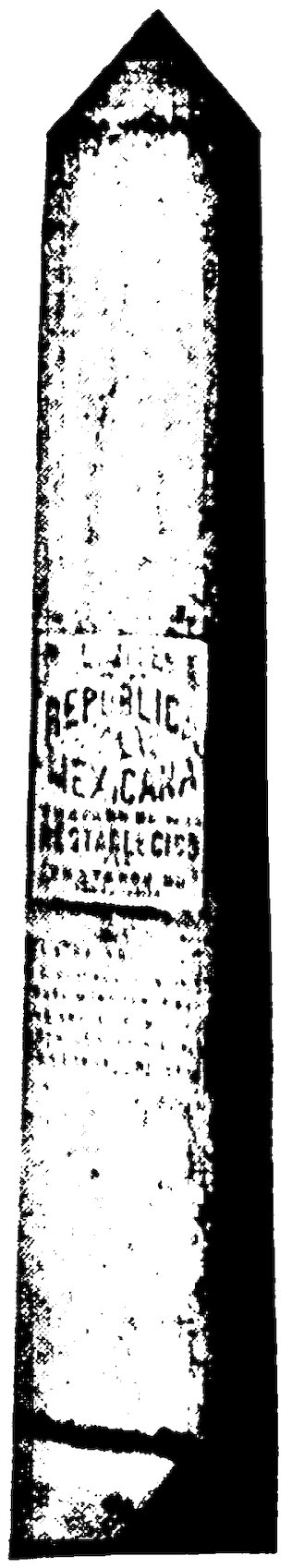
Boundary marker on bridge at Laredo.
The water in the Rio Grande is often so low that people can wade across it almost anywhere. Because it wanders most near the Gulf of Mexico, into which it flows, the eastern part of the international boundary is five times as long as it might have been. The river is not a very efficient boundary because it does not keep out smugglers, of things and of people. Gangs of bandits sometimes make raids across it, for they have only to ride or wade through it. Men steal cattle on one side and drive them across to the other. People who would not be allowed to enter the United States as immigrants often find ways to get across the 20Rio Grande. Our officials cannot watch every twist and corner of that wandering, shallow river.
The Mexicans themselves come and go freely, for we do not like to shut out our next-door neighbors. About 40,000 Mexican men come over every year to work for us, picking cotton, repairing railroads, and doing other hard manual labor which the native American is glad to leave to others. Since the World War more than half the goods that Mexico imports come from the United States and nearly eighty per cent of the things she exports go to that country. Part of the total, of course, is carried in steamships, but more and more of it crosses the Rio Grande.
To a large extent, the western part of our United States was once Mexican. Not only the four states that border on Mexico have Spanish names, but so have Nevada, Colorado, even Montana. I was not surprised, therefore, to find Laredo in Texas almost a Mexican city. More than half the people in the streets had the black hair and the brownish skin of Mexico. Most of the signs in store windows were in Spanish. Even at the United States post office the clerks spoke Spanish better than they did English. There was soon to be an election, and I noticed how Spanish were the names of the men running for the offices of mayor, sheriff, and so forth.
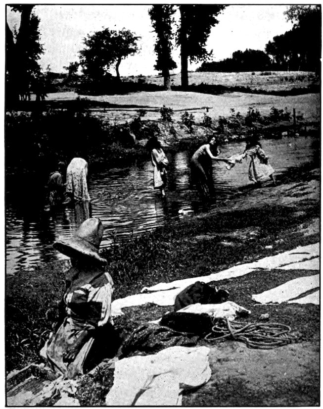
Yet Laredo is rich and prosperous and American compared to Nuevo (New) Laredo across the river. The moment I had crossed the bridge into Mexico I 21was surrounded by Mexican scenes. Men wandered listlessly about the streets with candy and fruits and queer biscuits for sale, some of them carrying their wares on boards on top of their heads. Most of the streets were not paved at all, and were deep in dust. Beggars followed me. Down on the edge of the river women washed clothes in the muddy stream—a kind of laundry we shall see often in our travels. The women beating soaked clothing on rocks instead of rubbing it on washboards reminded me of the little American boy who, soon after his family took him to Mexico, came running into the house shouting, “Mother, come quick and see our washerwoman trying to break stones with father’s best shirt!”
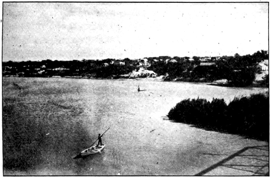
The shallow and meandering Rio Grande at Laredo, Texas, as seen from the international bridge.
There is a hotel in Nuevo Laredo now, and some other modern buildings. As we go on into Mexico we 22shall find, indeed, that our southern neighbors have many fine streets and great buildings. Most of the houses I saw in Laredo were typically Mexican. Nearly all of them were covered with stucco once gaily painted pink, blue, orange or some other bright color, but now much faded. They were all one or, at most, two stories high. Like Spanish houses everywhere, they were “wrapped around the yard instead of having the yard wrapped around the house,” as someone once put it. On the outside they were bare and ugly, crowded against the edge of the street and with no space between them. But inside they had little patios gay with growing flowers and other vegetation. Two words which we must learn before we go far in Mexico are patio and plaza. The first is the unroofed flower garden that makes a kind of courtyard for a house; the other is a park, nearly always with beautiful trees, shrubs, and flowers, in the center of a city. In the daytime most of the people, at least the women and children, live in the patio. In the evening, dressed in their best clothes, they stroll about the plaza near the bandstand.
There was a funny little street car, hardly ten feet long, in Nuevo Laredo. It brought me finally to the railroad station, which looked like nothing but a shed made of adobe, that is, of mud-and-straw bricks. The station was closed, but by and by two men in important-looking uniforms came, and began selling tickets and checking baggage. Then the train arrived, a very 23American train, for it had come from San Antonio in Texas.
Before we went on into Mexico, however, some second-class cars were added to the train. These had wooden-slat benches, two lengthwise along the sides of the car and ten pairs of seats back to back in the middle. They had no cushions and no elbow-rests, and would have seemed very uncomfortable to Americans—even though they were made in Indiana! But the fare on such cars is so much less than on the others that the great majority of Mexicans travel second-class.
San Diego & Arizona Ry.
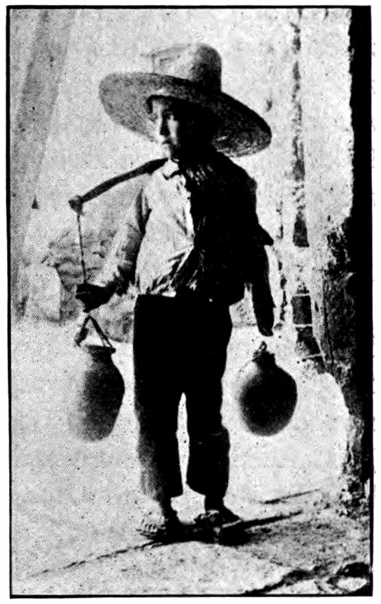
A Mexican boy water carrier who lives near the border between Mexico and the United States.
I decided to go second-class myself. Not only did it seem an easy way to save money, but it gave me a chance to be among the real, everyday Mexicans. As all Mexican trains burn oil, soot and cinders did not bother us as we rumbled away across the flat and sandy country. But every car was a smoking-car and the women were smoking as freely as the men. Behind us were an ordinary American coach marked “first class,” Pullman sleeping-cars, and a 24dining-car, carrying American and rich Mexican passengers.
The railways of Mexico were originally English or American. On my first Mexican trip the conductor and the engineer were white Americans, and the fireman was a negro. The conductor did not take up the tickets, but left that to another uniformed man called the auditor. He, like the brakeman and the train boy, was Mexican. The Mexican word for brakeman, by the way, is garrotero, which means “twister” or “choker.” In the days before airbrakes were used on trains, he had to help stop the cars by twisting what looked like an automobile steering-wheel on the top or the platform of each car.
Not long after my first visit to Mexico the Mexican Government began to operate most of the railroads in the country. Except for our Southern Pacific, which runs down the western side of the country to Guadalajara, Mexico’s second largest city, and the Mexican Railway from Vera Cruz to the capital, all the lines are combined now under the name National Railways of Mexico. The American conductors and engineers were discharged, and later on so were the American managers and superintendents. At present there are only about 16,000 miles of railroad in all Mexico. New York and Ohio together have about the same mileage.
We left Nuevo Laredo at three o’clock in the afternoon, or what would now be called fifteen o’clock! A Mexican law did away with “A. M.” and “P. M.” on the ground that they were confusing—and even dangerous 25in railway time-tables. Some of the European and South American countries have done the same sensible thing. Instead of stopping at twelve o’clock noon and beginning over again with one, two, three, they simply go right on counting. So fifteen o’clock means three in the afternoon, twenty o’clock is eight in the evening, and so on up to twenty-four o’clock or midnight. It is really very simple, and most people when they are used to it decide that this is a better way of marking the time than ours.
General Zachary Taylor took several weeks to get from Laredo to Monterey during our war with Mexico. Now one can cover the distance in six hours. For the first hour or two I noticed that the land was very flat and dry, much like southern Texas. Almost the only vegetation consisted in those tough, spiny, worthless plants called cactus, mesquite, and chaparral. For miles I did not see a house, or a human being, outside the train. There were no cattle, nor even birds. The land seemed to be too dry for them. Yet, oddly enough, there were some fences—one or two barbed wires stretched on crooked sticks. The wind howled mournfully through the thorny mesquite bushes, but there was not a cloud in the sky, and the sunshine almost burned us when we stepped out into it at the stations.
Before long, hazy mountains began to appear. By six—I mean eighteen—o’clock, big saw-toothed ranges stood near us on both sides. Sometimes, as the shadows of the setting sun played over them, they seemed 26to be running a race with the train. Still there were few people, or cattle, or houses. Now and then we might catch sight of a wild-looking man, dressed in sheepskins, tending a little flock of white goats. Here and there some flat, mud-colored huts appeared. The strong wind sifted sand from the half-desert all over us.
Then we reached Monterey, gleaming under the moonlight. It is the largest city of northern Mexico. Behind it stands a high notched ridge that looks so much like a seat that it is called Saddle Mountain. Monterey (spelled Monterrey in Spanish) has the largest steel mills in the western hemisphere south of the United States, and one of the largest in the world. Some Mexicans complain that the city is too americanisado, or Americanized. They think it has copied too much from the United States. But to me it certainly looked much more like Madrid than like one of our own cities. Most of the streets, I found, were very narrow. They had such cramped sidewalks that when two people met, one of them usually had to step down. The houses nearly all showed bare walls close up against the street, and every window was barred with iron as if it belonged to a prison. The Catalina River, which is supposed to flow through the town, was so dry that mule and donkey paths wandered along its stony bed, and sellers of fruit, vegetables, and gaudy cloth had set up their little booths as if in a street.
Still, I could believe the people who told me that Monterey is not so Mexican as other cities farther south. Sometimes I even heard English in the streets. 27Already I had several times heard myself called “gringo.” That is a slang word for “American” all the way from the Rio Grande to Patagonia. Sometimes the people who use it mean to be insulting, but most of them think it is a perfectly good, kind name for us. No one is sure just where this nickname came from. The most common explanation is that the Mexicans often heard American soldiers, during our war with Mexico, singing a song by Robert Burns that began:
The city of Monterey, with Saddle Mountain in the background.
You can see how, out of “green grow,” they could easily make “gringo.”
28Our southern neighbors, all the way to Cape Horn, also call us Yankees (they spell it yanquis) and an American from Louisiana is just as likely to be called a yanqui as one from Connecticut. Even this nickname is sometimes used with an unpleasant meaning.
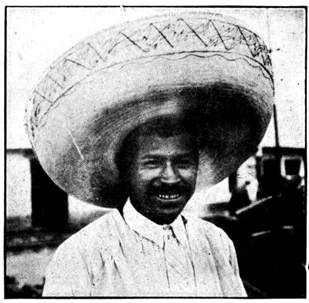
Keystone View Co., Inc.
Would you think it was fun to wear a sombrero as big as this?
There were some fields of corn south of Monterey, but soon dust and thorny bushes covered the landscape again. Mountains rose all about us, as the train climbed higher and higher. The mountains seemed to keep crowding closer, like a circle of bandits. They also seemed to become lower, but that, of course, was because we were going up into them. The train made quite good speed, in spite of the steep grade it had to climb.
Saltillo, where I stopped for a few hours, is almost a mile high. The weather was pleasantly cool for the first time since I had left our Great Lakes. Rain had fallen, and it was almost fun to splash through small puddles in the poorly paved streets. I was very weary of the bone-dry, sun-scorched country in which I had been traveling all the way from San Antonio.
The only train from Saltillo to the next large city ran at night. I should have been more comfortable in the sleeping-car, or even among the few Americans scattered about the first-class day-coach. But what is the use of traveling if you go to bed and sleep through the journey? I decided to sit up with the Mexican passengers in the second-class car, even if the benches were hard.
30I counted a hundred grown-up passengers in that car, besides more than a dozen children. There were all kinds of Mexicans, from city people who were as white as I, to men and women of the fields sunburned almost chocolate-brown. Only a few of them wore our style of clothes. Most Mexicans still prefer their native dress, the most important part of which is the sombrero, a large hat. Mexican men, like American women, want a hat different from anyone else’s. The hats of the peons, or workingmen, are made of straw; the others are of very thick felt, decorated with colored tape and a kind of embroidery.
Wealthy Mexicans, and even some who are not at all rich, pay a hundred dollars for a hat loaded with silver decorations and weighing several pounds. The crowns of sombreros are so high that they would surely hold two quarts of fruit. Such hats are of almost any color except red.
A Mexican never looks half so impressive or picturesque with his hat off as with it on. The rest of the costume is very much alike for everyone. The coat or jacket reaches only to the waist, and has many more buttons than seem necessary. Shirts are of all the colors you can think of, without collars and neckties. A wide cloth belt of some gay color is wound about the waist. The trousers are so tight as to make one wonder how the owner can get into them. Some have rows of buttons down the sides from waist to ankle.
A few of the men in our car wore shoes, but most of them had on guaraches, a mere sole of cowhide tied to the foot with thongs of leather. In place of overcoats 31men wore or carried sarapes, reminding me of the blankets in which the Indians of our Southwest wrap themselves. Some of these were woven with fancy patterns in colors, and had long fringes at the ends; all had a slit in the middle to put the head through.
None of the women wore hats. Instead of the sombrero and sarape they had the reboso, a kind of shawl for wrapping around the head as well as the body. Their skirts were very long. Some of them wore leather sandals and some were barefoot. The children dressed just like their fathers and mothers, the little boys in huge hats, gay sarapes, and skin-tight trousers, the girls wrapped, head and all, in shawls.
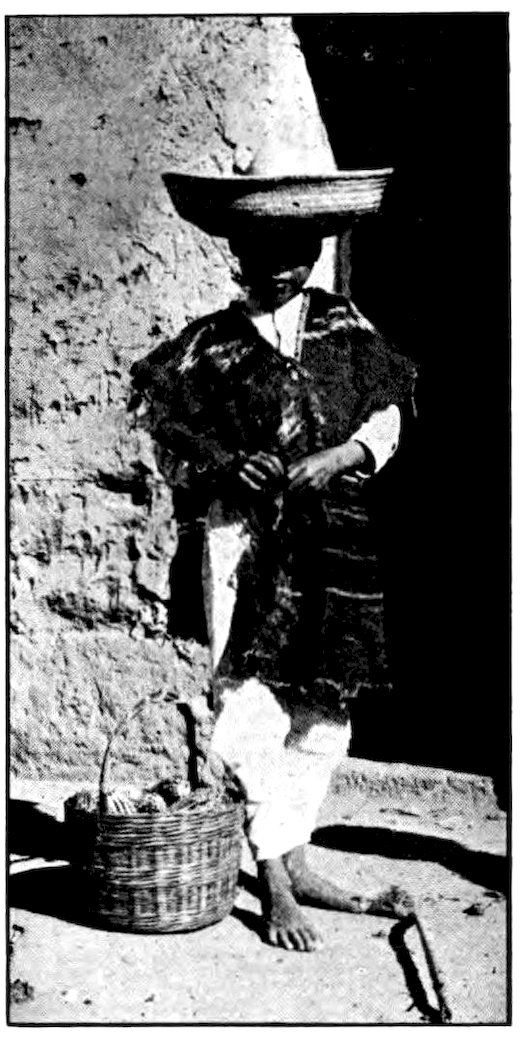
A Mexican boy of the highlands wearing a thin cotton suit and a straw hat. The sarape or poncho, a strip of cloth with a hole in it, helps him to keep warm.
It was easy to see that the passengers claimed more Indians than white men as their ancestors. Yet they were very polite, both to me and to one another. 32I could not help watching one family near me. The father seemed hardly twenty years old, and the mother was even younger. He was a very sturdy, muscular, sun-browned fellow, as if he had worked hard outdoors all his life and never weakened himself with the luxuries of a soft bed and a heated house. They had a child about two years old, his black eyes even brighter, if possible, than those of the father and mother. When we were all struggling for seats at the beginning of the trip, the father picked the child up by one hand and swung him clear across the car to the mother, but the youngster never stopped smiling.
I am sure none of us could have done more to make a lady comfortable on a hard journey than that Indian peon, who had probably never been inside a school in his life, did for his young wife. And though the Mexicans of the peon class seldom laugh, I am certain no American crowd would have been so good-natured as these passengers were, huddled together on hard benches all night long. Not once did I hear any of the children cry, or even whimper, though it was not at all what an American would consider a comfortable ride.
The farther south we went the cooler it grew, for we were still climbing among the mountains. I pulled out my sweater, and finally wrapped myself in all the clothing I had with me, but by midnight I was sorry I had not brought an overcoat. Once or twice I dozed for a few minutes, with my head on my bundle, but there was no room for anyone to lie down.
It seemed strange to be shivering with cold when, at about four in the morning, we crossed the Tropic of 33Cancer into the Torrid Zone. As daylight began to creep through the windows I stood in the vestibule and watched the bare, brown landscape hurrying by toward the north. I could see no mountains now, because we were on top of them. Scattered mesquite bushes and cactus, some of it ten feet high, were the only growing things. I began to think that Mexico must be a poor land for farming, but before I left the country at its other end I learned that much of it is very fertile. Just as the sun was beginning to cast long slanting rays across the cold earth we arrived at a large city named San Luis Potosí.
Among the many forms of cactus in Mexico is the so-called “organ cactus.” Its great stalks, covered with sharp spines, sometimes grow twenty feet high.
Perhaps you have been wondering whether you could not go down through Mexico in your own automobile. I am afraid not. The highways built there long ago by the Spanish have become miserable trails. Even in 34Spain roads are not very good, and Mexico is a true daughter of that land. The Indians who ruled in Mexico before the Spaniards conquered them were quite civilized in many ways. But as they had no wheeled vehicles, nor even any domestic animals (everything being carried on men’s backs), their descendants of to-day do not consider roads as important as we do.
The present government of Mexico is building highways, and perhaps some day we can drive all the way to Mexico City in the old “flivver.” But we would not get very far south of the Rio Grande in it now. For one thing, there are many long stretches with no towns, no stores in which to buy food, and no gasoline stations. When we reach the capital we shall find automobiles enough. But away from the big cities and off the railroads we must travel mostly by the old narrow, unpaved trails. Most Mexicans are horsemen, unless they are so poor that they have to walk.
San Luis Potosí is now one of the up-to-date cities of northern Mexico. It lies in a great basin of mountains more than a mile above sea level, so that its climate is always cool, and pleasant except during the rains. Many of its buildings are well made, and it has a fine cathedral. Its business men are so enterprising that some of them have become rich. It is the capital of the state of San Luis Potosí, which was the first state in Mexico to pass laws in favor of the working classes—the “radical land reforms” about which we shall learn more later on.
35When I first saw San Luis Potosí it seemed rather poor and miserable. Perhaps that was partly because rain fell nearly all the time I spent there, and because I still had American cities in mind. The dull skies made it seem very dreary, and the only way to keep warm was to walk or to stay in bed. I could not help laughing at the idea most Americans have of the climate of Mexico. It should be as warm as Florida, they think, because it is as far south. They forget that most of it is a table-land high above tropic sea level.
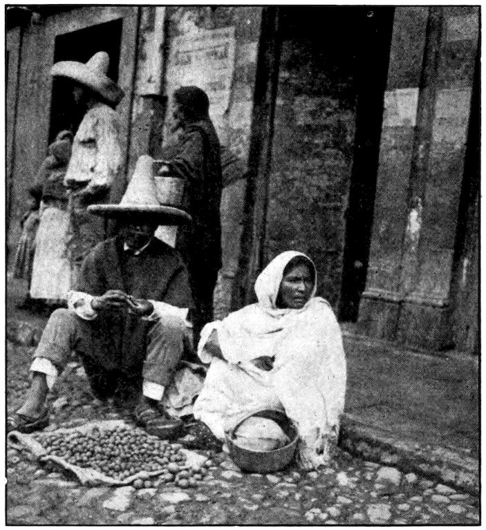
The public market of San Luis Potosí overflows along the cobbled and often muddy streets. Each family has its few cents’ worth of produce to sell.
There seemed to be at least a hundred ragged men and boys at the station, clamoring for a chance to earn a few cents by carrying someone’s baggage. Hundreds more of them wandered about the town looking for some way to earn their food. Their tight trousers and short jackets and collarless shirts, even their leather sandals, were ragged and torn. Their clothing might be patched with half a dozen different faded colors. Some had only a strip of old carpet as a sarape wrapped around their thin bodies. They wandered dismally about in the cold rain. There seemed to be as many poor women and girls as men and boys. In fact they seemed poorer, for most of them did not even have guaraches, but splashed about in bare feet. Nearly all the poor people were trying to sell something or other. There was a covered market, but only a small part of the great throng could find room in it. Every narrow little muddy street all about the market was lined on both sides with sellers squatting over their wares. Most of them had hardly ten cents’ worth of stuff to sell, and the buyers were so poor that many bought only a cent’s worth at a time. There were little piles of six peanuts, sickly little apples, tiny cones of muddy-looking sugar, turnips cut in two because people could not afford to buy whole ones. It would take pages just to mention all the things to eat that were for sale in tiny quantities. Then there were baskets and earthenware jars of every kind and size, scraps of calico, and long strips of leather for making 37sandals. Now and then a woman dressed better than usual went along making purchases, always followed by a ragged man or woman carrying what she had bought. To any Mexican above the peon class it is a terrible disgrace to carry the smallest package in public.
All the people of San Luis Potosí are not poor, by any means. In the daytime most of the homes looked poor, because one could see only their bare outer walls. But when they were lighted, I got many a peep into richly furnished rooms and flowery patios. In the great churches and in the best shops there were men and women, and children, too, fully as well dressed as any I had seen in my own land.
My hotel room had a fine view of the mountains, but I was supplied with no water, no mirror, no towel. When I went downstairs to wash, I found the landlady sitting on the floor shelling peas into the only washbasin!
I am sure you will be interested in what I had to eat. Mexican breakfasts are very light, nothing but a cup of coffee or chocolate, and a roll or a corn cake. For dinner and for supper we always had a very thin soup, squash, boiled beef, and hot corn tortillas that looked much like our pancakes. Then came a plate of rice and peppers, tripe, and a peppery dish of beans (chile con carne). Every real Mexican meal includes red or black beans, served just before dessert. Since pies and cakes are not native to Mexico, we usually had as our last course a bit of fruit and the blackest coffee you ever saw.
38Of course there are better hotels in Mexico than the one I have described. Even San Luis Potosí has a better one now. But some of the beds I slept in were not much more comfortable than the wooden benches in a second-class Mexican railroad car. Who minds such things, though, if he can travel in strange foreign lands?
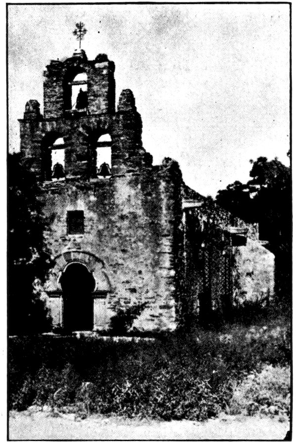
Photo by H. L. Summerville, San Antonio
At San Antonio, Texas, one may visit four Franciscan missions built by the Spanish monks. La Concepción, the first, was erected in 1713. Then came San José and San Juan, and in 1730 San Francisco (or Espada) Mission which is shown here.
Perhaps we ought to know a little about the history of Mexico before we go farther into the country. Hundreds of years before Columbus came to America, two tribes of the Nahua nation of Indians came down from the north into what is now Mexico. They were energetic and enterprising, as people from a bracing climate usually are compared to those who live in tropical countries. But gradually the first tribe, called Toltecs, seem to have lost some of their ambition and fighting spirit. It is said that in the eighth century the capital of the Toltecs was at a place now called Tula, just north of the Valley of Mexico, in which the capital of to-day is situated. They were excellent architects, as we can easily believe from the ruins of many of their buildings that remain. They knew how to fuse metals, to cut and polish the hardest stone, to make earthenware and fabrics (cloth), and they invented a calendar and a kind of writing. Although it was hardly writing as we understand it, being more nearly picture drawing, the Toltec emperors wrote in it a kind of poetry and philosophy.
About the end of the twelfth century, three hundred years before Columbus sailed, the Aztecs moved southward and drove the Toltecs before them. Although 40they belonged to the same race, the Aztecs were more ferocious and gloomy than the Toltecs, and they had a very cruel religion. They finally established their capital, Tenochtitlan, where the City of Mexico is to-day. It is said that they waited for a sign to show where the capital should be located. This sign was the sight of an eagle perched on a cactus with a rattlesnake in its claws; from it comes the coat of arms of present-day Mexico.
Meanwhile, for many centuries, a tribe called the Mayas had been living still farther south. They also seem to have come down from the north, but much earlier than even the Toltecs. Some scientists believe that all the original inhabitants of the western hemisphere came from Asia by way of Bering Strait and Alaska. This is not at all impossible. I have seen Mongolians of the Gobi Desert and Indians of the New World who could hardly have been told apart except by their clothes. Perhaps wave after wave, or tribe after tribe, of people who were originally Asiatic swept down across the two Americas until there were inhabitants even at the southern tip of South America. These original settlers are generally spoken of as Indians, but they might better be called Amerinds to distinguish them from East Indians.
The Mayas of Yucatan were never conquered by the Toltecs and the Aztecs, but in the eleventh century famine and pestilence broke out among them. Those who survived went on to what are now Guatemala and Honduras. They took their civilization with them, and as we shall see when we come to the ruins of their 41cities, they were far more civilized than the Indians who lived in wigwams and roamed our western prairies shooting buffaloes. In fact, they probably reached a higher state of civilization than any other inhabitants of America before Columbus’ day. The ruins of the Mayas at Uxmal and Chichenitza in the Mexican state of Yucatan, at Cobán and Quiriguá, Guatemala, and at Copán, Honduras, are still being explored, mostly by Americans, and we are learning more and more about this remarkable people.
By the time the Spaniards came to Mexico, the Aztecs had spread their rule from the Atlantic to the Pacific. They had adopted or thought out for themselves a civilization like that of the Toltecs, and in their way were as far ahead of the nomad Indians of our plains as the Europeans were above the savages of Africa. But the Aztecs were a curious mixture of mildness and ferocity. This is not so surprising as it may sound; in my travels I have found many wild tribes that in some ways were as gentle as children. The laws of the Aztecs were severe, and their taxes were heavy.
The priesthood were rich, powerful, and very numerous. The chief god of the Aztec religion was the god of war, who was called Huitzilopochtli! As if it were not bad enough to have so dreadful a name, he had to be kept pleasant by human sacrifices. If a week went by without someone’s being killed in his honor, he was likely to grow peevish and do the whole 42Aztec nation great harm. There were altars to him all over the country, and they were constantly drenched in human blood. In a museum in Mexico City you may see an elaborately carved stone of sacrifice which the Aztecs had in their capital.
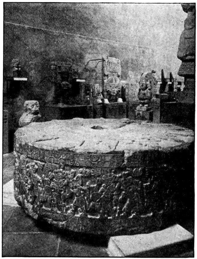
Keystone View Co., Inc.
On this stone the Aztecs used to offer human sacrifices to their war god. It is now in the National Museum, Mexico City.
Every year the most nearly perfect young man in the nation, after being given twelve months of feasting and high living, was sacrificed on this stone before a multitude of people. Gladiators fought, as in Rome, 43in honor of the bloodthirsty god. Men armed only with wooden spears for protection were attacked by other men carrying weapons made of obsidian—a black stone as hard as flint and sharpened to a razor edge. The people really enjoyed the thrills they got from sacrifices and contests, but they pretended, and perhaps really thought, that the gods demanded these. Babies and beautiful girls were sacrificed to appease the rain god. The Aztecs, besides sacrificing hundreds of their own people every year, made war against their neighbors in order to get victims—men, women, and children—for the sacrifices.
There was a saying or legend in Mexico that some day the mild gods of the Toltecs would return. According to the legend these gods had white skins. When the Spaniards came, they found the conquest of the Aztec nation made easier by the fact that many of the Indians thought the Toltec gods had arrived.
Hernando Cortés landed in 1519 at a place now called Tabasco, near the present Vera Cruz, with about two hundred men. After sending a message to the Aztec emperor, Montezuma, commanding him to submit to the king of Spain, Cortés forced a thousand Indians to carry his baggage, and started for Tenochtitlan. The swift Indian runners (who took fresh sea food to the royal tables in the capital every day) met him with the very proper answer that Montezuma would continue to rule his own country without help from a king he had never heard of before.
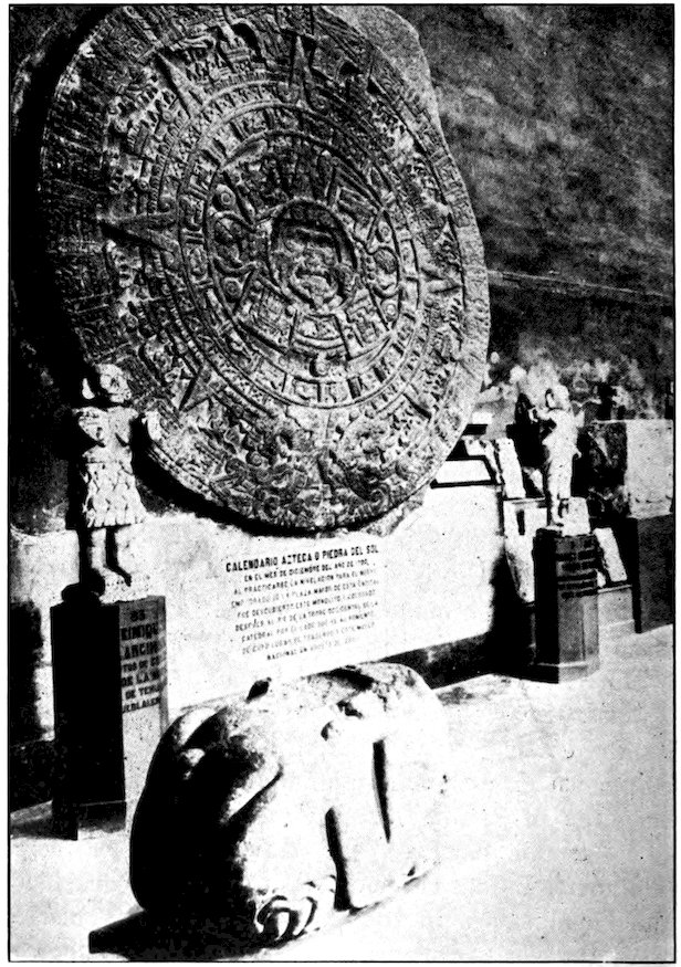
Keystone View Co., Inc.
The Aztecs used this stone as a calendar. It is now in the National Museum, Mexico City.
45Cortés pushed on over the mountains toward the capital. But he might not have conquered Mexico and given Spain what was for a long time her richest colony, if it had not been for three advantages. One was the legend already referred to. Another was the simple honesty of the Indians, who did not then know how tricky these people from Europe could be. But perhaps Cortés’ greatest advantage lay in the quarrels among various tribes of Indians. If all the people of Mexico had stood together, they probably could have driven out the Spaniards—in which case Mexico might have been Aztec to this day.
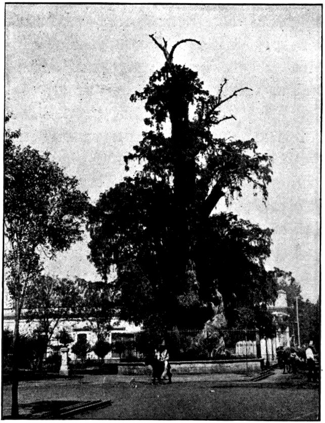
The kingdom or republic of Tlaxcala, now a poor little state southeast of Mexico City, long warred with the Aztecs. At first its people fought Cortés, but later they became his allies against their Aztec enemies. Near Mexico City is still an ancient tree which is called the Tree of the Sad Night because under it Cortés sat all one night and watched his beaten soldiers retreating. But he reorganized among the friendly Tlaxcalans, and finally came back to Tenochtitlan and overthrew Montezuma. By 1540 all the territory from Panama to what is now our state of Washington was called New Spain.
In a way the Spaniards may be regarded as the “more gentle” gods of the legend, but in some respects they were just as cruel as the Aztec war god. Cortés had the bloody sacrifice stone cast down, and destroyed the dreadful blood-spattered temples, driving out the priests. But the people were distributed as slaves among the Spaniards. The Spanish priests destroyed 46many of the native art treasures and inscriptions, so that the record of Aztec civilization was largely lost. These priests considered anything that had to do with the Aztec religion or culture as wickedly superstitious. The conquerors thought of Mexico simply as a mine to be worked for the benefit of Spain, without any attempt to be fair to the Mexicans themselves. Commerce with other countries was forbidden on pain of death.
Underwood & Underwood
Tree of Noche Triste (“Sad Night”), Guadalupe, under which Cortés is said to have wept as his defeated soldiers passed by.
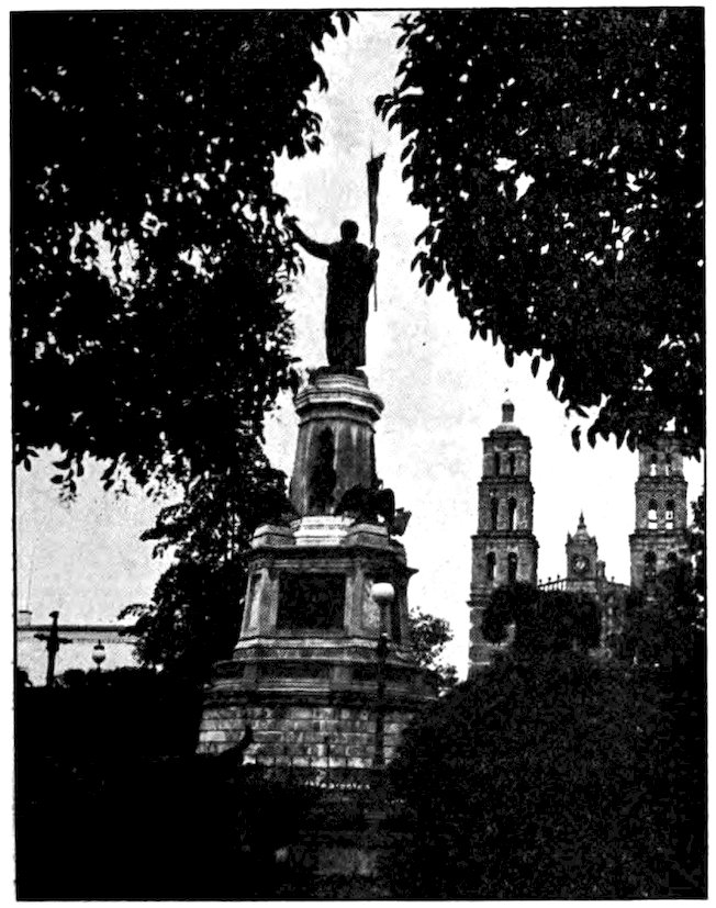
In the central plaza of Dolores Hidalgo stands a statue of the priest Hidalgo, the “Father of Mexican Independence.”
For three centuries Spain ruled Mexico in this stern way, through viceroys sent out by the king. Finally, in 1810, when the Spanish at home were busy fighting Napoleon, a priest named Hidalgo rose against the viceroy then in office and tried to overthrow Spanish rule in Mexico. But Hidalgo was captured and executed the next year. There are statues to his memory, and streets named for him, all over Mexico. He is often called the father of his country, or the Washington 48of Mexico. Later the revolt was taken up by another priest, named Morelos, who was executed in 1815, and for whom one state and the capital of another state are named. In 1821 Mexico City was surrendered by the last Spanish viceroy. His name, by the way, was O’Donojú—can you guess where his ancestors came from? A Mexican named Iturbide proclaimed himself emperor, but he was banished, and when he came back to Mexico again he was shot. Since 1824—except for the short-lived empire of Maximilian (1865–7)—Mexico has been a republic.
Since it was largely the example of the United States that caused Mexico to proclaim her independence, it was natural that she should form her constitution and laws very much after ours. But Mexico’s history as a republic has not been as happy as our own. Our people had long had town meetings and colonial assemblies; the people who had been ruled by Spanish emperors and their viceroys for three centuries, and before that by Aztec emperors, had little idea of how to govern themselves. After the revolution in Mexico there was chronic civil war and disorder until 1876. While there were only fifty-seven viceroys in the three hundred years that Mexico was a Spanish colony, there have been, in the century since the revolution, sixty-six presidents, two emperors, and a regency. Frequently the presidents have been killed while in office. One of them ruled for thirty-four years, but another was president for only forty-six minutes!
49Even to-day many Mexicans and other people of Spanish-America cannot understand any kind of political change except a violent one, resulting in the death of the ousted leader. I remember being in South America when Woodrow Wilson was elected president of the United States. You know that he was a Democrat and that the man in office when he was elected was a Republican. Even some of the educated Spanish-Americans showed great surprise that the Republican Taft let the Democratic Wilson take over the office. They would say to me: “Is not President Taft the commander-in-chief of the army? Then why does he not order the army to drive this Wilson out of the country, and keep the office himself?” How dreadful such a state of affairs would seem to us!
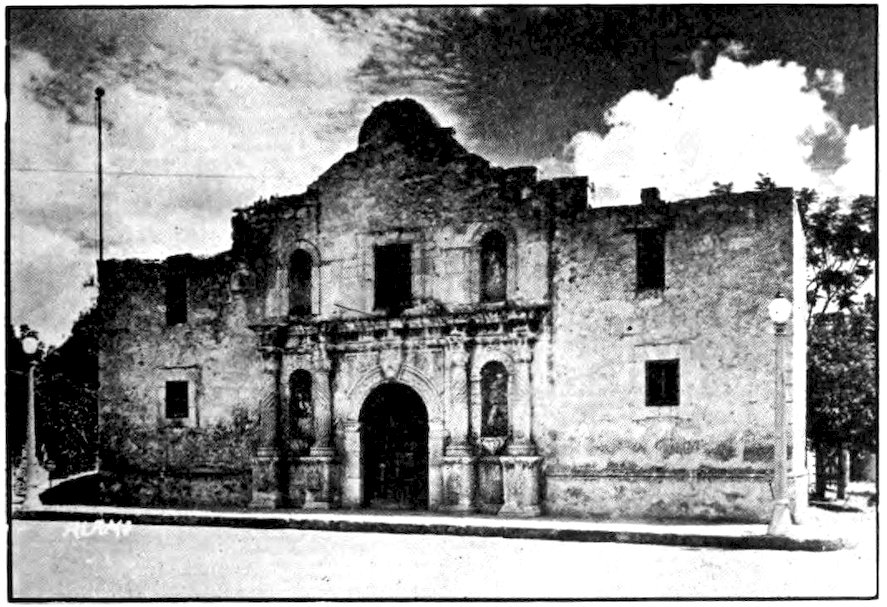
Photo by H. L. Summerville, San Antonio
The Alamo is often called the birthplace of Texan independence. It was the scene of a heroic defense against the Mexicans in 1836.
50We must not overlook our own war with Mexico during that country’s years of disorder, for it is a more important part of our neighbor’s history than of our own. Many Americans now think that the war was more our fault than Mexico’s. There was bitterness and misunderstanding on both sides. Texas, then a part of Mexico that was being settled more and more by Americans, had won its independence in 1836. In 1845 it asked to be admitted as a state of the United States and it was annexed in spite of the protest of Mexico. A dispute as to the boundary increased the antagonism between Americans and Mexicans, and the slavery question was also involved. After about a year and a half of fighting, Mexico City was taken by General Scott, who came up to it from the coast just as Cortés had. By the treaty of peace signed in 1848, Mexico ceded to us a large territory that included the present California, Nevada, Utah, most of Arizona, and parts of New Mexico, Colorado and Wyoming.
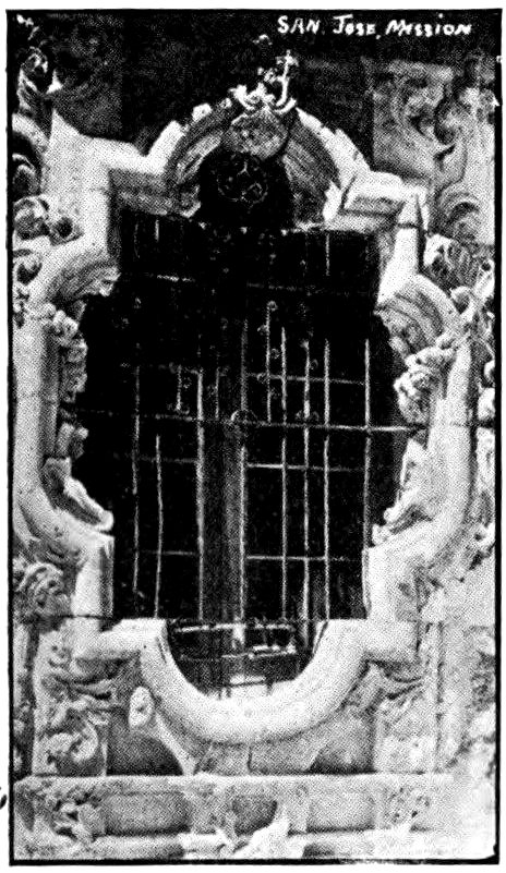
Rare carving was used in decorating the Spanish missions. This window is in San José Mission, San Antonio, Texas.
During our own Civil War there was foreign intervention in Mexico. France wished to get a foothold in the New World, despite the Monroe Doctrine; so 51she sent the brother of the emperor of Austria, a well-meaning but weak man named Maximilian, over to be emperor of Mexico, with a French army to support him. But the Zapotec Indian Juárez, with the help of the half-Indian Porfirio Diaz and others, defeated Maximilian after the French had abandoned him. They had him shot, and that was the last time Europe tried to introduce royalty into the western hemisphere.
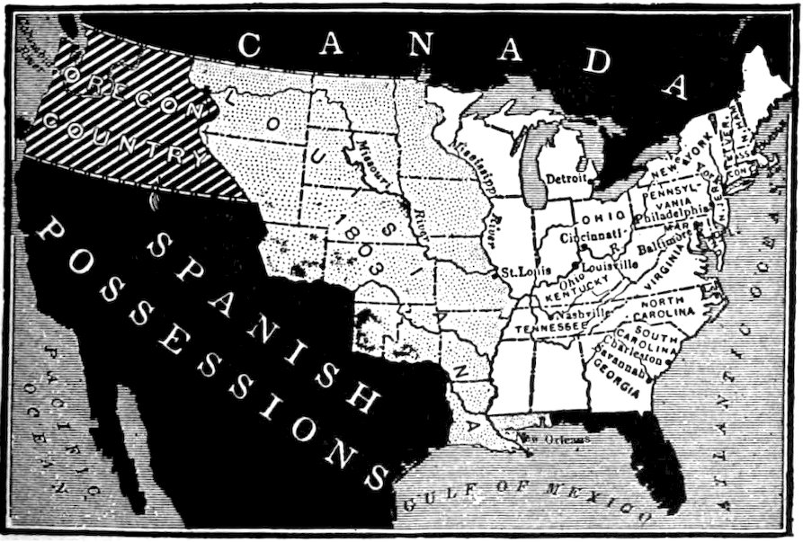
A map showing possessions remaining in the hands of Spain after the Louisiana Purchase.
Porfirio Diaz was the greatest of the sixty-six presidents Mexico has had since the revolution. He remained in office for thirty-four years. As already mentioned, Diaz was partly of Indian blood. He was born a backwoodsman, in the state of Oaxaca. After studying law he fought in the war between Mexico and 52the United States. He remained in the army for a while after the war, went back to law, and gained increasing prominence until he was elected president in 1876. He united the various chieftains by convincing them that if they did not stop fighting among themselves the United States would intervene. He organized the rurales, a kind of country police on horseback who made Mexico safe for travel. He persuaded foreigners to invest money in industrial developments, increased the number of schools, and improved Mexico in many other ways. But he was a very stern ruler, and did not allow the mass of the people much individual liberty.
Diaz was elected president for the eighth and last time in 1910. By then he had become a deaf old man, so that a rich landowner named Madero was able to drive him out. He went to Europe to spend his last years, and we are glad that he, unlike most presidents of Mexico, was not killed. With all his faults he did much for his country. Indeed, as soon as Diaz’ dictatorship was over, Mexico fell back into its old state of civil war. Madero was assassinated two years later. Among the men who since that time have ruled Mexico, as president or by some other name, was Carranza, who defeated the bandit generals Villa and Zapata and was recognized as president in 1915. He was actually elected president the following year, but was driven out of office and shot in 1920. Then came Huerta, then Obregón, then Calles.
The new Mexican constitution allows a man to be president only once, for a four-year term.
In entering Mexico by the railway through Laredo, near the eastern end of the boundary, we took the shortest route. If we had entered through El Paso, we should have gone down through the immense state of Chihuahua, with its huge cattle ranches. Since Boquilla Dam in Chihuahua stores up the largest reservoir of water in North America, that state will become, with irrigation, fertile and very important. But the landscape now is much the same as that farther east—dreary, spiny, dry—with mountains to be climbed. On the El Paso route we should have crossed the state of Durango, with many mines. Between this line and the one on which we are traveling lie Coahuila, much like southern Texas, and Zacatecas, a mining state. In the end this route would have brought us to the same place that we shall reach through San Luis Potosí.
Instead of taking either of the lines of the Mexican National Railways, we might have come down by the Southern Pacific from the western end of Arizona, and found ourselves in the state of Sonora. That, too, is much like the other states bordering on the United States. The Southern Pacific goes down through the slender west-coast states of Sinaloa and Nayarit 54(formerly the territory of Tepic) to Guadalajara, capital of Jalisco, which we shall reach by the other route.
Keystone View Co., Inc.
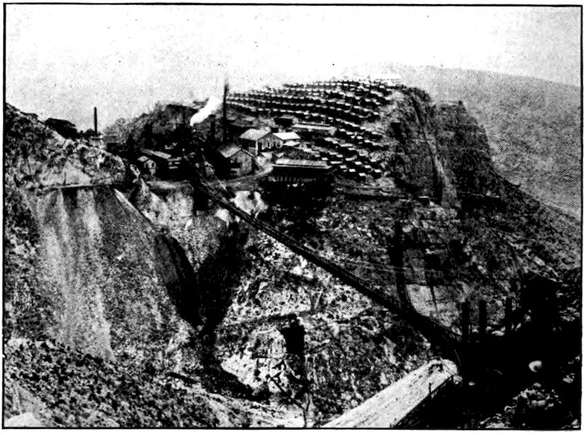
In the state of Durango some of the silver mines are located in very rugged country. Did you ever see a suspension bridge like this?
There are many Chinese along the west coast, and now a few in other parts of Mexico. Most of them are merchants; others are market gardeners, and in the capital we shall see Chinese restaurant keepers. Some people think that Japan wishes to control Mexico, because there are Japanese colonies on the west coast, just as there are on our Pacific slope. But Japanese holdings in Mexico are really much smaller than ours. Some of western Mexico is very fertile. In one recent year 2,048 carloads of potatoes left Mexico by the west-coast line. Cantaloupes, tomatoes, and other 55fruits and vegetables are sent by the trainload to the United States just when winter makes them high-priced and hard to get in our own land.
We must not forget Lower California. It is one of Mexico’s two territories. The other is Quintana Roo, far away on the eastern side of the peninsula of Yucatan. Some day perhaps both these territories will become states. Long, slim Lower California, though it is about as long and half as wide as our own California, has no railroads. Its entire population is only 60,000. The northern part of the peninsula is better developed than the rest and more nearly like the United States. The middle part is dry and not very useful. The southern end is fertile, but less developed than the north. It produces cotton, oil, pearls, and other valuable things, but it needs railways and roads to take them to the world markets.
In the state of Sonora are the very interesting Yaqui Indians. Some members of this warlike tribe live in Arizona; they are closely related to the fierce Apaches of our Southwest. But most of them, at least those still untamed, are in the southern part of Sonora. Ever since the white man came to Mexico the Yaqui have fought to keep him off their lands. Most American Indians did that, of course, but the Yaqui are famous because as a tribe they have never been conquered. In all the western hemisphere, the only primitive peoples equally independent are the San Blas Indians in Panama, and others far up the Amazon.
56The Yaqui believe themselves to be descended from a wolf. They live to fight. “Centuries of semi-starvation, of tyranny, of exposure to burning heat, desert thirst, mountain storms, constant fighting and suffering have produced men as tough and brutal as the cactus, as swift of foot, wild, and canny as their brother the coyote.” They can run ten miles an hour for hours at a time. Hidden among their mountains, they are terrible enemies and hard to defeat. The state government of Sonora pays them money every month to keep them from going on the warpath. Even though a bounty of a hundred Mexican dollars has been offered for any Yaqui alive or dead, they are still independent.
Porfirio Diaz, who pacified all the rest of Mexico, could never make the Yaqui recognize the Mexican Government. He sent expeditions against them. His soldiers killed many of them; thousands were taken prisoner and shipped to far-off Yucatan. There they were made to labor almost as slaves on the henequen plantations of the tierras calientes, the hot country, and many died from brutal treatment or because of the climate, or by suicide.
But the brutality of the Diaz soldiers only made the Yaqui hate more bitterly those who wished to rule over them. If a little kindness had been tried, there might perhaps have been better results. Now and then, within recent years, the Yaqui have made peace with the Mexican authorities. Many of them, known as mansos (“tame ones”), may now be found in every Sonoran village, and even in neighboring Arizona. 57As soldiers in the Mexican army they are among the bravest, though they are too independent to be very well disciplined. They make hard-working laborers, better than most of the Indian tribes. But the bravos (“wild ones”) in the hills of southern Sonora continue to stir up trouble. The Calles government, tired of trying to make peace with them, decided to conquer or exterminate them.
Strange as it may sound, the Yaqui call themselves Christians. Long ago Spanish missionaries went back into the deserts of Sonora where soldiers feared to go. Though they were unable to talk with the Indians, they told them by signs the story of Christ. Naturally, the Indians did not understand all of it, and so to-day, when they try to present a Passion Play at Easter time, they distort it queerly. They carry about a rag doll to represent Jesus, and there are half a dozen others meant to stand for Judas. It is a very barbaric ceremony, with many gaudy colors, strange Indian music, and other semi-savage features. Most of the participants get drunk on maguey whiskey.
There are Indians living in Mexico who have never seen a white man. Parts of the states of Michoacán and Guerrero have never been explored by white men. But the great majority of the Indians of Mexico are peaceful and even timid. Although it is about one-fourth as large as the United States, Mexico has only one-seventh as many people; but of the fifteen million about six million are full-blooded Indians, and among 58the eight million mestizos (half-breeds) there is more Indian than European blood. These tame Indians of many tribes, breeds, and tongues are quite different from the unconquered Indians of the Sonora desert. The Indian of the Mexican plateau is a farmer, not a hunter. He is quiet, very solemn, so peaceful as to be almost servile. He dreads responsibility, and really likes to be a kind of half-slave to his employer, to whom he brings his problems and troubles. He seems to have been suppressed so long, under Aztec emperors, Spanish viceroys, and dictators like Diaz, that he is unable to decide things for himself, preferring to have someone always tell him what to do.
If we compare the crowd at a Mexican railway station with our recollection of one at a station in Texas, the people of the two regions do not seem at all of the same stock, though to quite an extent they are. The “Texicans” look hopeful, as if they expected to be successful in life. The Mexican Indians and peons, in contrast, have either a hopeless expression or one as stolid and indifferent as that of the pack-animals they drive. Most of the male population of the smaller towns sit upon the station platform, “wrapped in blankets and meditation, waiting only for another day to pass,” as one traveler has said. Of course we have stolid, blanket-wrapped Indians in our Southwest, but they are the exceptions rather than the rule. The women at the Mexican stations seem to be somewhat more energetic than the men. They stroll past the train windows offering food and other things for sale. But even they are easily discouraged.
59Although they do seem so sad and hopeless, most Mexican Indians and part-Indians are, in a way, good natured. In all my wandering in Mexico I hardly ever had an unkind word from them, in spite of the fact that many of them do not like foreigners, especially “gringoes” or yanquis. There are beggars in Mexico, but the poor people do not thrust forward their miseries and misfortunes as much as is done in some other countries.
Rochester Photo, Mexico City
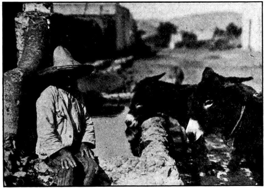
The humble donkey is the best friend of the Mexican peon.
The Mexican masses differ in many ways among themselves. We must remember that the people, except the small percentage who are entirely white, are a mixture of Indian with Spanish blood. The great majority, therefore, have much the same characteristics 60as the pure Indians. But we notice that while the plateau inhabitants are timid and morose, those of Tehuantepec and the tropical coast lands are gay and almost carefree in their manner. A bare landscape always seems to have a depressing effect on people, while a region that is full of trees and plants cheers them.
Mexicans, even of the poorest class, are musical, and are as fond of flowers as the Japanese. Along almost any miserable trail that I traveled I found morning glories, geraniums, patches of dark purple blossoms, huge masses of bougainvillea. There are Mexican bands in small as well as in large towns, belonging usually to the police or the fire department. They all play quite well, though they may know few pieces and actually be unable to read music! They are naturally rhythmical. In prisons there are bands made up of the convicts.
Many Indians and peons of the plateau take only one real bath a year. Yet I cannot blame them much. Down in tropical Mexico there is plenty of bathing; but up on the plateau where there is no natural heat, and very little artificial heat, the water is generally cold. On St. John the Baptist’s Day, however, all Mexicans bathe. On that day (June 24th) the rivers and the public bathhouses are crowded from daylight until long after dark. There are almost no bathtubs in Mexico except in the hotels of the capital. Shower baths are more common, and in the warmer regions the nearest river does very well. But only a brave man would bathe in the rivers of the high table-land.
Underwood & Underwood
At Aguascalientes the women and girls bathe and do their washing in the stream fed by hot springs.
62Speaking of baths, there is a Mexican state named Aguascalientes, which means Hot Springs. Its capital, bearing the same name, is honeycombed with tunnels of unknown origin and purpose. In this city, famous for its hot sulphur baths, it is said that the Aztecs many centuries ago had elaborate baths for their emperors and nobles.
Sometimes the Mexican Indians seem to us quite stupid. I have seen one of them carry a long beam across his shoulders, and be unable to get through a gate with it because he did not know enough to turn sidewise. These people seem to have almost no imagination or initiative, but must copy from others or be told by them what to do. However, they are not physically weak. I have mentioned already that when Cortés came to Mexico he found Indian runners carrying fish from the coast to the capital daily. They ran in relays, but even so, great strength and endurance were required. The distance of two hundred miles, including mountain ranges 7,500 feet high, was covered between afternoon and Montezuma’s dinnertime next day. Recently two Mexican Indians ran a hundred kilometers (about sixty-three miles) in nine hours and thirty-seven minutes. Their course from Panchuca to Mexico City was from a mile and a half to two miles above sea level, at an altitude where many people find it hard to breathe even when walking. Yet these two men of the Tarahumare tribe (a name that means “foot racing”) were so fresh at the end of the run that they looked as if they could turn around and start back again.
63The Aztecs had no horses or oxen, or any other four-footed beasts of burden, not even the llamas found in Peru. That was such a handicap to trade that we wonder the Aztec civilization rose as high as it did. Mexican Indians of to-day are all used to carrying loads on their backs, in baskets with a strap across the forehead. Indeed, American engineers building the first railroad in Mexico had to prevent the Indians from taking the wheels off the wheelbarrows and carrying the loaded barrows on their backs.
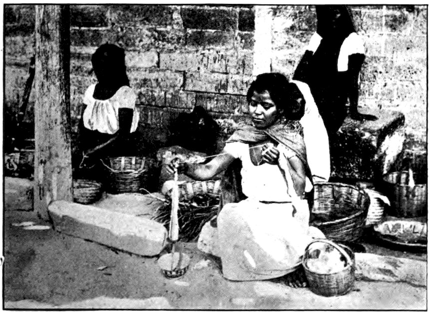
Photo from Janet M. Cummings
A Mexican girl spinning wool. After being carded, so that the fibres will lie in the same general direction, the wool is worked into pieces of uniform thickness, forming strips about four inches wide and seven inches long. These strips are lengthened and twisted together as they are wound upon a distaff. After many unwindings and rewindings, a fluffy piece of cord is produced. In the picture you see fluffy strips of wool extending from the basket to the girl’s hand. The wool is spun later into a finer thread.
South of San Luis Potosí there was some dry and shriveled corn, standing in shocks. The first planted fields of maguey appeared. As we rose to the mile-and-a-half altitude this source of Mexico’s chief beverage became more and more frequent, until maguey lined the railway and covered the rolling plains to the distant mountain rim. Sometimes the long, straight, emerald-green rows climbed broad high ridges, and vanished. Near at hand each plant resembled a huge artichoke, more blue than green, thus adding another color to the landscape. The maguey and cactus belong to related families.
When the maguey plant is about seven years old it flowers and dies—though its roots live and develop into another plant. Just before blossoming time, the base of the plant is cut out in the shape of a great bowl. The sap or juice runs into this rapidly, five or six quarts a day, and flows for three or four months, giving barrels of a milky fluid. The Mexicans call this agua-miel or “honey water.” Hawkers go about the streets and along the platforms of railroad stations shouting “Agua-miel!” For the twelve hours before it begins to ferment, this juice of the maguey is sweet and clear, and can do no one any harm.
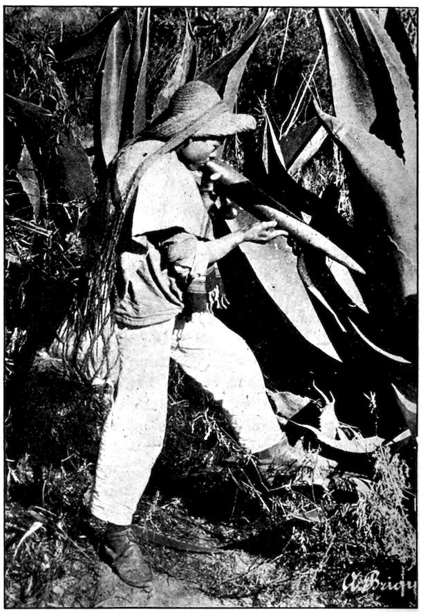
65In some of the maguey fields along the railroad I saw peons with untanned pigskin sacks over their backs, trot from plant to plant, part the pulpy leaves, and bend over the central pool in the hollow of the maguey. Each carried a long gourd, and when he had sucked this full of the sap he poured it into the pigskin sack. As soon as the sack was full, he trotted away to the plantation house with it.
A little of the fermented “honey water” is added to the fresh juice, which then ferments very rapidly, and quickly becomes what the Mexicans call pulque. If left to ferment naturally, the maguey juice, for a day after the process begins, looks like skim milk and tastes rather like buttermilk. During that time it becomes more and more intoxicating. After thirty-six hours it is fit only to be thrown away. In some cities pulque-vendors are not allowed to sell it after it is twenty-four hours old. But most of them disobey the law and keep it much too long. When it is highly fermented, pulque becomes a poison that makes those who drink it want to go out and kill someone—unless they first fall stupefied in the gutter. A blind man could find a pulquería (pulque saloon) by the sour stench of agua-miel that has been kept too long, and only a man with the taste of a Mexican peon could drink it after it has reached that stage.
Keystone View Co., Inc.
The Mexican extracts agua-miel from the maguey by sucking it up into a gourd. It is this juice which ferments and becomes pulque.
Early-morning trains loaded with pulque roll into the capital and the other large cities of Mexico. They are like our milk trains, but seem even more numerous. 67Two hundred thousand gallons of pulque are drunk in Mexico City every twenty-four hours. That means an average of six glasses a day for every man, woman and child in the capital; and as few foreigners or well-to-do Mexicans drink it, those who do must surely drink more than six glasses.
Every day more than $10,000 in Mexican money, all from the pockets of the poor, passes over the counters of Mexico City’s two thousand pulquerías. The saloons have gaudy fronts, crude paintings, and vulgar or blasphemous names, such as “The Rest-House of St. Peter.” About them gather ragged Indians who look as if they had not had a real meal for weeks, but had spent for pulque everything they could earn, beg, borrow or steal.
Luckily pulque comes only from the highlands, and sours too quickly to be transported very far. It spoils even more quickly than milk, so that it is unknown in the lowlands, and even in some parts of the plateau. The contrast between the gloomy people of the Mexican highlands and the more cheerful ones of the tropical regions is not due entirely to the difference in natural surroundings, but is accounted for partly by the fact that the former have pulque and the latter do not.
The Mexicans made pulque before the Spaniards came. Drunkenness was not unknown even then; it is very common now. If pulque cannot be widely distributed, the Mexicans know how to make other liquor that can be. They boil the lower leaves of the maguey and distill from them mescal or tequila. This drink, 68a stimulant as strong as whiskey or brandy, is held responsible for most of the acts of violence committed in Mexico.
A street stand where pulque, the Mexican maguey beer, is sold. In the background is an election poster.
There has been some agitation for prohibition in Mexico. All the efforts are directed against pulque, the poor man’s drink. The big hacendados, or landowners, are nearly all opposed to what they call a “fool reform” because they make their fortunes from the pulque which they send to the capital. A recent law makes it illegal to plant any more maguey, and perhaps the time will come when the stuff that befuddles the people of the Mexican highlands will be as unknown there as it is elsewhere.
I left the train one morning at the station of Dolores Hidalgo. The town itself, I found, was several miles from the station. A tiny mule-drawn street car covered the distance, but I preferred to walk. On the way I met a beggar riding a donkey. He answered my “Buenos dias” (“Good morning”) with a whine of “A little alms, caballero.” As caballero is the Spanish word for horseman (though it has come to mean “gentleman”) it seemed strange to me to be called that by a man who was riding while I was on foot.
In this house in the town of Dolores Hidalgo lived the priest who in 1810 started the revolution against Spanish rule.
Dolores Hidalgo is named for the priest who began the Mexican revolution against Spanish rule. He lived in this quiet little town with its two enormous churches, 70and travelers may still see his house, where most of the furniture is just as he left it when he was captured and executed by the Spaniards. From Dolores Hidalgo I struck off across the country toward the important city of Guanajuato. There was no road except a trail or path that now and then seemed to lose itself. Fences are almost as unknown in Mexico as they are in China, and when I heard bulls bellowing savagely not far from me, I looked about for a tree to climb in case of need. However, the region resembled China in its treelessness as well as in the scarcity of fences. There were forests of cactus almost as big as trees, but it would have been a painful job to climb one of those spiny things.
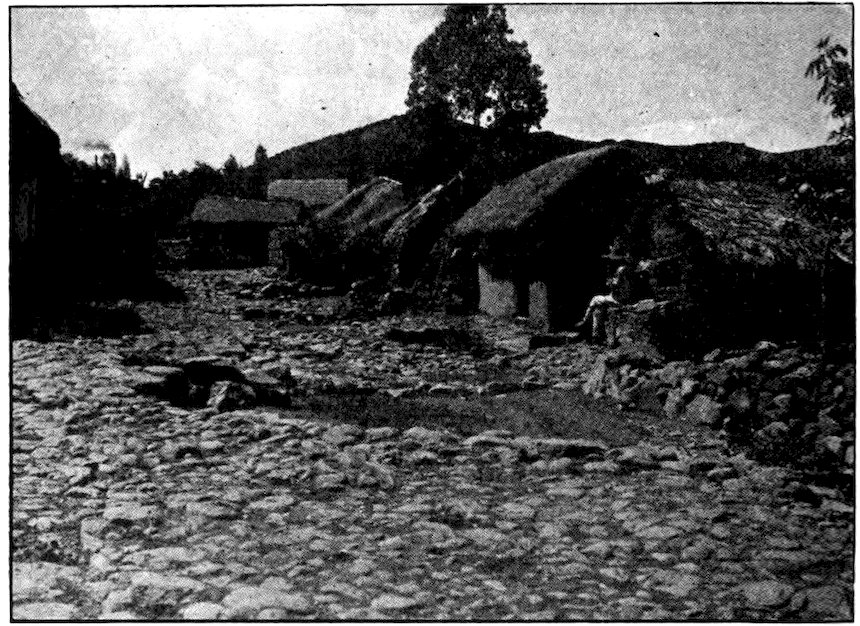
A Mexican village in which I spent a night. Such adobe (mud-brick) houses roofed with thatch are found in many parts of Mexico.
71I saw that the ground along the way was dotted with tunas, which we call cactus apples. These are bright red when ripe, very full of seeds, but quite juicy and rather good, at least for thirst. But you must not forget to peel off the thick outside rind, or you will think you are eating a cushion full of pins. Before it is peeled the tuna is harder to handle than a porcupine, leaving the fingers full of little spines that are very hard to remove. A curious thing about the cactus apple is that it grows on the edge of the plant’s leaves, sometimes a dozen apples encircling one leaf.
That night I slept in an Indian hut made of adobe (mud and straw bricks baked in the sun) and grass. My lodging cost me three Mexican cents. The Mexican dollar and cent, by the way, are worth only half as much as our own. My bed was a reed mat about three feet long, and my room was really the family barnyard, with chickens and donkeys all about me. For supper the woman served me a bowl of sopita (called “little soup” because it is so thin), corn tortillas, white cheese, and boiled peppers. The boy of the family wandered about eating cornstalks as if they were sugar cane. I shivered nearly all night, though I was far down in the tropics.
Long before daylight the woman of the house got up and began making atole. She took some shelled corn and sprinkled it in the hollow of a large stone. Then she crushed it with a stone rolling-pin, strained it 72through a sieve, and threw it into boiling water. It took her a whole hour to make the atole, and it certainly was not worth the trouble. It was hot, but it tasted like water in which corn husks had been boiled. That was even sadder than the ordinary scant Mexican breakfast. But my bill for supper, lodging and breakfast was only six cents!
All that morning and half the afternoon I tramped along a trail that was sometimes deep in sand or sticky mud, and sometimes a slope of cobblestones thrown together on a steep hillside. I met or overtook many donkeys, loaded with crates of cactus-fruit, railroad ties, ears of corn, and sometimes with women and children. By and by peons or workmen in American overalls began to appear.
Most of them were quite friendly, but some had been drinking, and acted as if they wanted to pick a quarrel. Once, when I sat resting at a high spot on the trail, three drunken peons came stumbling over toward me. One of them, about forty years old, thrust his pulque-scented face into mine and demanded a cigarette. But I was watching one of the others, a ragged youth who slowly walked in my direction, with one arm held behind him. He had a very wicked gleam in his eye. Suddenly I jumped up and snatched the hidden hand into sight. It held a large, sharp-pointed piece of broken rock. I knocked this out of his hand, but instead of trying to fight he let his two companions drag him away down the trail. I strolled on after this incident and a few minutes later came out high above the famous mining city of Guanajuato.
Some people, thinking of the shape of Mexico and Central America, have called it a great horn into which United States citizens pour immense sums of money. While it is true that we have many large investments in that region, the horn is rather a horn of plenty, pouring out upon us dividends, silver, gold, copper, and oil.
There are more than five thousand mines in Mexico, between the northern border and Oaxaca, where mountains and mines begin to subside. Some of these mines produced for Montezuma, then for the Spaniards, and now for Americans, who own eighty per cent of the mines of Mexico. The Aztecs of to-day are still delving in the depths of the earth, but for American stockholders rather than for native or Spanish rulers. Of many valuable minerals within Mexico, silver is the most important. Mexico is the largest producer of this metal anywhere; it gives us three-fourths of our silver, and in most silver ore there is more or less gold. Much of its copper and lead also are sent to us. An iron mountain rises in the city of Durango. Mexico is second only to the United States in the production of oil, and in time it may produce more. Even now we import oil from our southern neighbor.
74I was so much interested in the subject of mining in Mexico that I decided to go to work in a mine. Agriculture, the other important Mexican industry, I could see while walking about the country; but to learn much about mining and the ways of miners, I should have to go down into Mexico in a different way from that followed by most travelers.
There was no better place to do this than Guanajuato, a great mining center. A schoolmate of mine was superintendent of the most important group of mines there. When he heard of my desire, he quickly offered me a job, advising me to start with the mine named Pingüico.
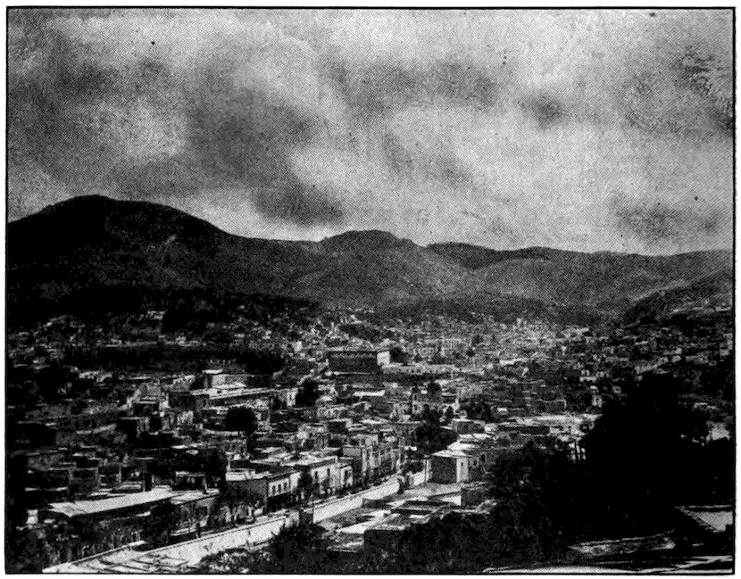
The city of Guanajuato is surrounded by mountains containing many valuable mines. The Alhóndiga, once the Spanish headquarters and now a prison, rises above the other buildings.
Before I mounted a horse and rode out to the mine, 8,200 feet above sea level, I roamed all about Guanajuato city. Its name, meaning Hill of Frogs, seems to fit it. Gigantic carved stone frogs are found in one part of the city. With its population it lies huddled down in a great basin, a blue labyrinth of mountains heaped up on all sides. The main street is like a stream at the bottom of the hollow, and many of the side streets are as steep as stairways. The roof of one house is sometimes below the doorstep of the one behind it. The climate is almost perfect. The year round there are brilliant days such as Lowell celebrated in his lines on June, and cool, mosquito-less nights.
A famous old Spanish fortress called the Alhóndiga bulks above everything else, like a huge packing box in the center of a toy city. On one corner of it the head of Father Hidalgo, the “father of Mexican independence,” hung for years, as a warning to others not to try to overthrow Spanish rule. Now the Alhóndiga is a prison. I spent two hours there—though only as a visitor! Inside the building the prisoners seemed to have much freedom. Some lay in the bright sunshine in the stone-paved patio, others washed themselves and their clothing at a huge fountain. During the day many of them worked at weaving hats and baskets, making brushes and similar things. These they sold for themselves, so that they could buy food from outside. The cells were much larger than most prison cells, because they were once the chambers of the colonial government.
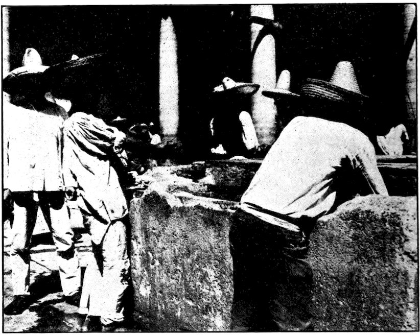
Prisoners in the Alhóndiga in Guanajuato wash their clothing in one of the great basins left by the Spanish.
Guanajuato is full of color. There are flowers everywhere, even inside the prison. The houses are painted pink, cream, blue, green, or whatever hue the owner fancies. The blankets of the lower-class men, the garments of the women, and the motley array of things in the market streets all make a jumble of colors.
In Guanajuato there are mummies which are not embalmed and purposely preserved, like the mummies of ancient Egypt, but corpses that are naturally preserved by some queer quality in the soil. I went down into a high vaulted corridor where there were more than a hundred bodies shrouded in sheets but looking much as they did in life.
From the veranda of the mine building at Pingüico we could look down two thousand feet to a great plain of the Mexican table-land. We could see half a dozen towns, some more than twenty miles away, and many trails like brown threads winding off across the plain and up into the mountains. The travelers plodding along them seemed no larger than ants.
With one or two other Americans I jumped upon a little square platform hanging just below a huge iron bucket that was full of Mexican miners. Someone blew a whistle and down we went, at the end of a steel cable, into a kind of well or shaft drilled in the rocky mountain, a thousand feet deep. Some of the shafts were still deeper. Once in a while, during the descent or the ascent, the hoist engine would get out of order and for ten minutes (which seemed as many hours) we would hang suspended in the inky blackness.
At the bottom of the shaft we stepped out in a long low gallery with walls of solid rock. Far back at the end of this gallery, or some of its smaller branches, miners were digging away at a veta, or ore vein. It was very hot in most parts of the mine, and the Indian and peon miners wore only a loin cloth, a pair of leather soles, and a huge straw hat. I wondered what they could need the hat for, with two thousand feet of earth and rock between them and the sun, until I saw a great piece of jagged rock come tumbling down on a man’s head as he picked at the vein of ore.
Some of the men worked in pairs. One held an iron bar like a huge chisel and another struck it all day or 78all night long with a sledge. There were two or three sets or shifts of miners, and one set came to work when the other left, so that the mining continued all the time. When a deep enough hole had been made, dynamite was thrust into it, someone lighted the fuse and shouted a warning to everyone to keep back, and with a “bang!” down would come a mass of rock ore. However, most of the mining in Pingüico was done with automatic drills, which made holes in the rock much sooner than the hand chisels, but with a terrific noise. The miners were so careless in handling the dynamite that it was no wonder some of them had only one arm or one eye, or were covered with great scars.
My own work was to take samples. Whenever one of the little iron cars filled with ore passed me on the tiny railroad that was laid along each gallery, I snatched a handful of the ore and put it into a sack. The samples were sent up to the office to be assayed (examined) to see how much gold and silver and copper each “heading” or vein was giving. Later I had to go down many hundred feet more, worm my way through small holes, and with a hammer chip rock samples off the top of a gallery. It was terribly hot in such “pockets.” Perspiration ran in streams down the naked brown body of the miner who, holding a big straw hat under my hammer, caught most of the samples I chipped off. Some of the samples dropped into his thick hair and stayed there until he picked them out.
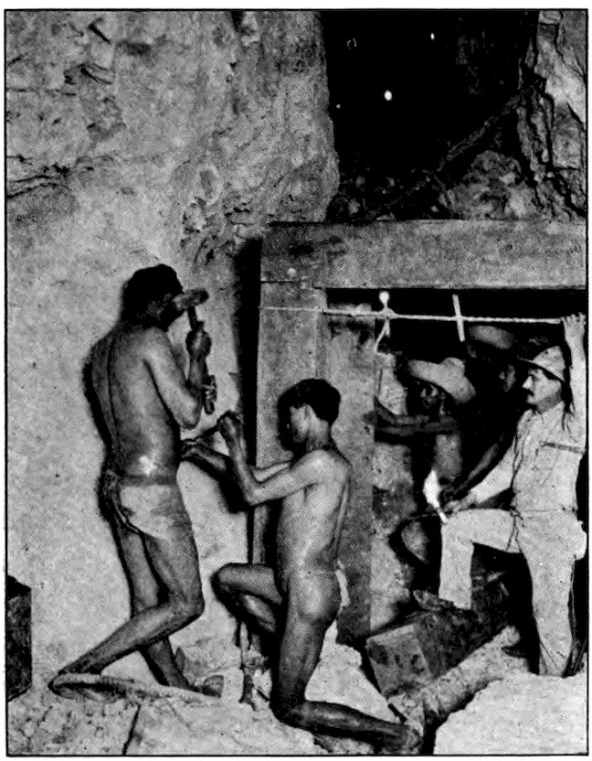
Cutting ore by hand in one of the galleries in Pingüico mine. The miners could not stand the heat if they wore clothing.
The miners were very religious. They set up empty dynamite boxes as altars or shrines, and placed in each either a cross or a cheap picture of the Virgin Mary. They always kept at least one candle burning in such a shrine. When I was ready to leave a part of the mine that was not lighted with electricity, some miner was sure to beg my piece of candle for a shrine. In the morning several of the miners would bring bunches of freshly picked flowers to set before the image. Most of the men wore about their necks a rosary or a charm, 80such as a prayer written on paper and folded up into a little wallet. Some of them chanted a prayer when the cage was dropping down into the earth. Many of them swore dreadfully, but they stopped it for a moment whenever they passed one of the dynamite-box shrines, and snatched off their hats. Yet they did not care at all if one of the American mine bosses stopped to light his cigarette at one of the candles burning before the Virgin’s image.
It was always very pleasant to come out into the sunshine again after a day down in the mine. There was a hot and cold shower bath for the Americans, but the Mexicans never seemed to bathe. Afterward, we men from the north gathered around a table for a big American-style meal prepared by the Chinese cook. At night the mountain world was very still, but we could always hear the rumble of the hoist engines and the other machinery of the mine, as if a great giant within the earth were grumbling because he could not get out.
I spent a month at Pingüico mine. During the last half of this time I was a car boss. My work then was to keep constantly after the miners and see that they did not hide one of the ore cars in a dark side passage, or tip a load over, or do any other mischief in order to loaf while we straightened things out or found more cars. At the end of October, I drew my wages and set out to see what became of the ore when it left the mine.
81After being hauled to the surface in the great iron buckets which were used as elevators by the miners themselves, the ore was thrown out on a “gridley”—a kind of screen or gridiron made of railroad rails. There it was broken up, and the rocks that had no “values” in them were thrown out on a great hill. This hill, which rose far above a little native hamlet, was entirely made up of waste. A small train carried the rest of the ore to the noisy stamp mill. This was built on the side of a hill, so that when the ore was dumped into the bins at the top, gravity carried it on down until nothing was left but some whitish sand from which all the values had been extracted.
Big stones were broken up by hand. Middle-sized stones, spread by machinery on broad leather belts, moved past several peon women, who picked out the worthless stones and threw them away. Small stones went directly under the stamps, and the others followed as soon as they were ready. Each of the great iron stamps weighed several tons, and struck several blows a second. Water was poured in as the stones were being broken up, and the resulting mixture, smelling much like mortar or wet lime, was run into huge iron cylinders, rolled and rolled, and poured out upon zinc platforms. Over the platforms, which were constantly shaking, water flowed. Finally the heavier, valuable stuff ran into huge vats, in which it was stirred and watered for several days, until the values had settled and could be drawn off at the bottom. That left in the vat only worthless white sand which two peons kept shoveling out and carrying down to the valley below.
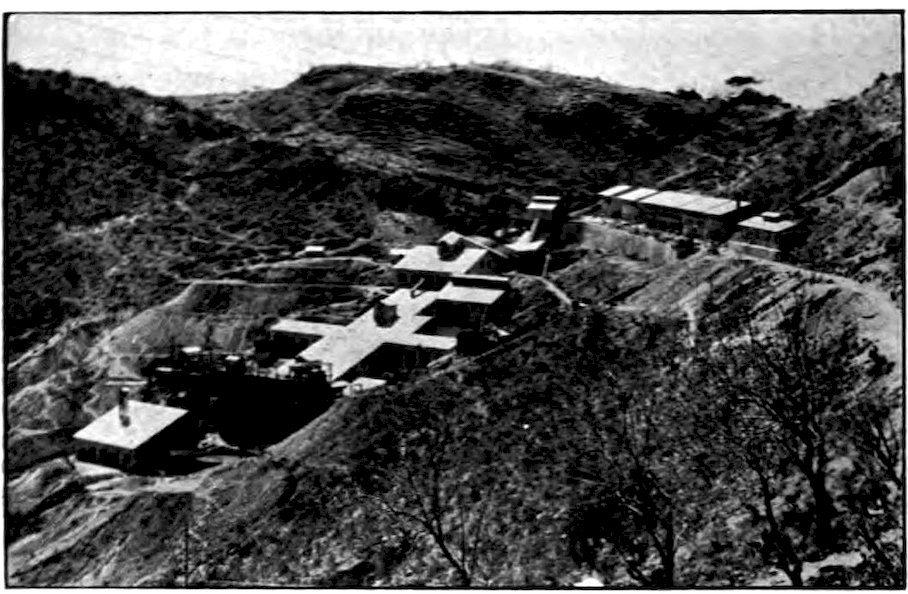
Rochester Photo, Mexico City
The outdoor part of the Pachuca mine in Mexico. The ore starts at the top of the stamp mill and is reduced to almost pure silver or gold by the time it reaches the bottom.
The last samples I took in the mine showed nine pounds of silver and twenty-three grams of gold to the ton of ore. From this you see that a great deal of work has to be done to get a small amount of valuable metal. The Aztecs and the Spaniards had very crude methods of working out the ore. One way was to spread it over a stone-paved patio, mix it with mercury, and drive mules and donkeys round and round in it for days at a time. The American methods are so much more thorough that any of the old “dumps” of the Spaniards are worth sending through a stamping mill for the values left in them. In fact I know of one great stone house, a superintendent’s home, that was torn down and sent through the stamp mill. It yielded silver and gold enough for a good profit over the cost of 83building a new house. When the values have finally been run down into smaller vats and treated with zinc shavings, there comes out a dark metal that is about half pure, silver and gold. This is put into melting pots inside a padlocked room and run into large molds, then melted again and finally turned into dark-gray blocks that look like paving bricks. One of these blocks, so heavy that only a strong boy can lift it, is 85% pure and worth about $1,250. Two or four such blocks are tied on the back of a donkey and taken down to the town office or the railway station under guard.
At the mine I had found that whenever a set of miners came up out of the shaft, they were required to stand one by one on a wooden block, with their arms stretched out, and be searched for stolen ore. Workmen toward the bottom of the stamp mill, where the material becomes quite valuable, are locked inside rooms walled with chicken wire. A mere handful of metal, or a flat sliver of it that can be hidden between the sole of the foot and the leather sandal, may be worth several dollars. In some of the mines about Guanajuato there are real gangs of bandits who carry revolvers and take “high-grade” (valuable ore) by force. But most of the “high-graders” are regular miners or workmen who hide a little precious metal on their persons and attempt to get home with it. They try to justify themselves in doing this on the ground that Mexico, with the precious metals inside it, more rightfully belongs to them, the descendants of the Toltecs 84and the Aztecs, than to the foreigners who own the mines.
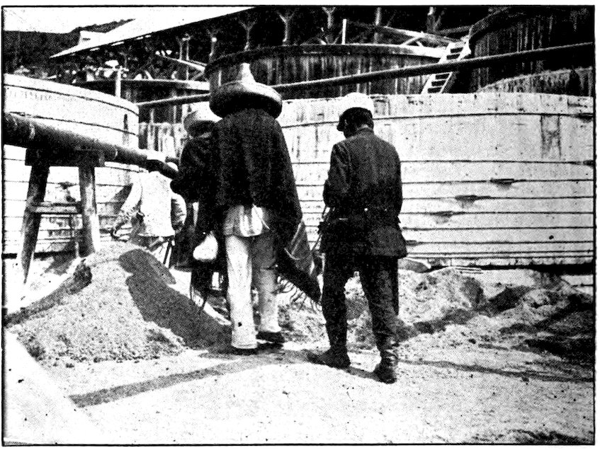
Indian miners of Peregrina mine being led off to prison because they had tried to steal pieces of silver and gold ore.
On the day I went to the stamp mill, the American manager had planned a special search for stolen ore. When it came time for the workmen in the zinc room to leave, the jefe político, or chief Mexican official of the district, was there to search them. These workmen have to have two sets of clothing, one for outdoors and one to wear while at work. When they come to work, or when they leave, they strip in one room and walk into the next to dress in the clothes they have left there. But even so, they manage to steal scraps and slivers of silver and gold, such as the chips knocked off when the metal is cast in molds. Of the 85five men searched that day, three had some “high-grade” concealed about them. One wore a pair of shoes, which seemed a strange thing for a Mexican peon to have; a lump of silver was discovered in each toe. Another had a piece of silver about as big as a dollar in the little wallet intended for a paper prayer or the picture of some saint. The third had a scrap of pure metal tucked into the top of his hat.
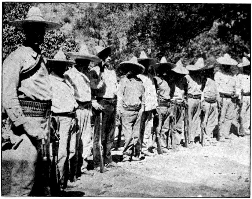
Mexican soldiers in a mining district have plenty of cartridges and most of their rifles are modern, but their uniforms are much like the clothes of civilians.
One of the two innocent men was sent running to town for policemen. These officers of the law wore very shoddy uniforms, carried clubs, and had enormous revolvers sticking out through their short coat-tails. But they were so much like the poorly paid and hardworked 86peons that it seemed very unbrotherly of them to tie ropes about the waists of the thieves and drive them away to prison. Some Mexican prisons are well built and almost too comfortable. But the cold, stone-floored, bedless calaboose in one of these small mountain towns is not a pleasant place, and poor prisoners are kept waiting weeks and perhaps months until the judge is ready to call them for trial.
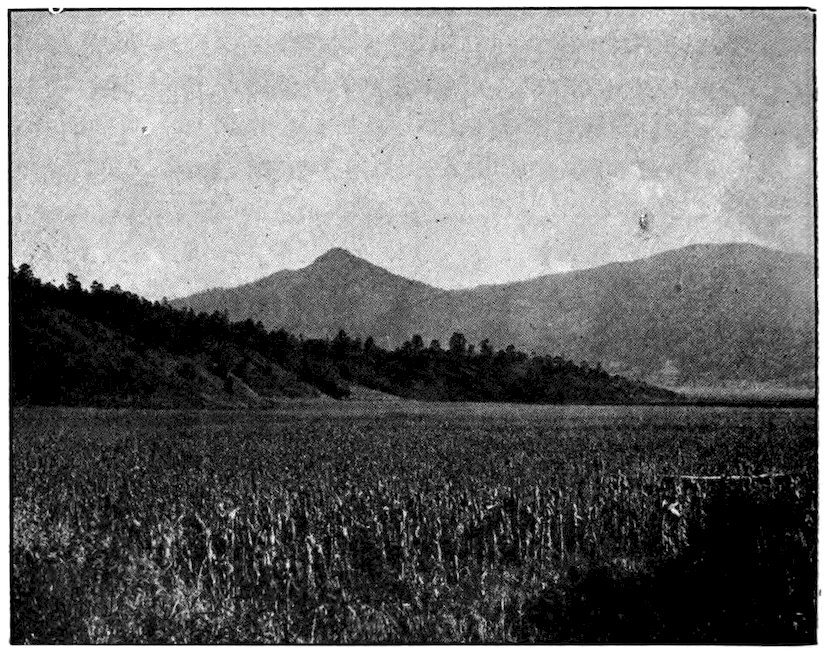
Mexico may have been the original home of Indian corn. It is the staff of life of the people. One sees great valleys filled with it.
To the average stay-at-home American, Mexico is only a sun-scorched desert. He usually knows only about the northern section of it, so much like the thirsty parts of Texas and Arizona. His imagination pictures great stretches of half-desert framed in purple mountains.
In reality, Mexico has a great variety of natural features and corresponding variety in climate and products. It has great snow fields which never melt, sandy wastes, highlands swept by cold winds, delightful temperate valleys, tropical jungles dense with vegetation.
Although snow falls on the mountain tops, there is really no winter. There are two seasons, the wet and the dry. The dry season (during our winter months) is generally the pleasanter. But the rainy season is not unpleasant, for it seldom rains long at a time. From June to September, there is a shower almost every night, and in the morning the sky is a brilliant blue, every leaf and flower fresh and fragrant, as if the whole universe had been freshly washed. From October to May there is almost no rain. The great plateau has a kind of perpetual spring, except that the nights are cold. After sunset the policemen of Mexico 88City, and many other inhabitants of the high places, wrap a cloth about their throats and over their mouths, believing the night air to be bad for the lungs. A visitor from the north enjoys the air, day or night.
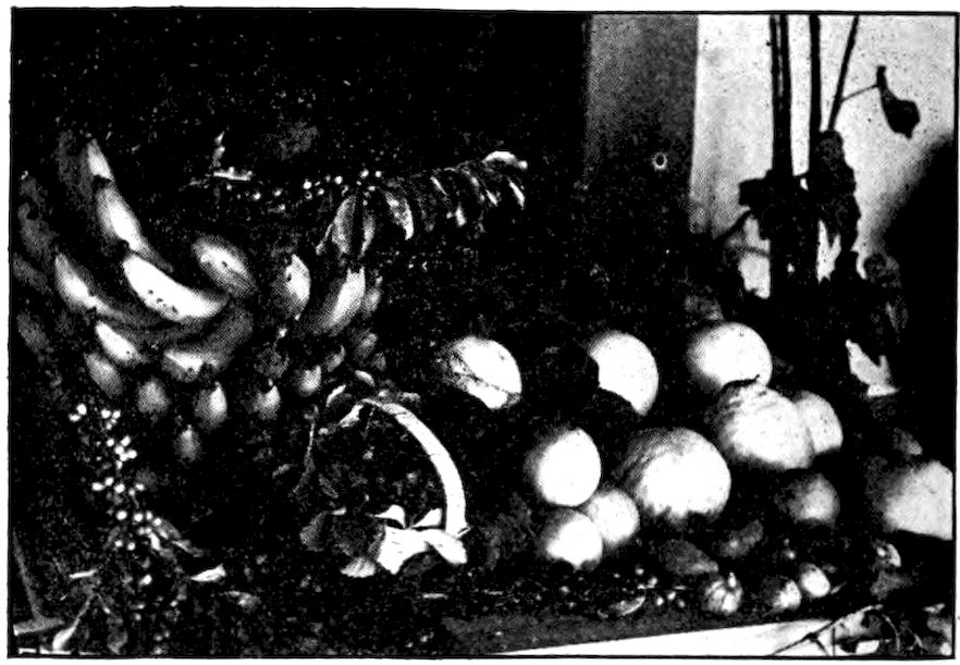
Rochester Photo, Mexico City
A collection of the wonderful fruits of Mexico—oranges as big as our grapefruit, luscious figs, bananas, and some other fruits which we in the United States never see.
Almost everything can be grown in Mexico, because its elevation varies from sea level to a height of more than two miles. Wheat is grown in the highlands, two crops a year in some places. Most of it is brought to threshing mills in great fiber mats, usually on men’s backs. But corn, rather than wheat, is the Mexican “staff of life.” Some scientists think that Mexico is the original home of the maize or Indian corn; certainly this is Mexico’s chief agricultural product. It 89grows not only in the highlands, where there are evergreens and oaks, but also in the hot lands. Beans and barley, tobacco, cotton, sugar cane, coffee, sisal hemp, cacao, and many kinds of tropical fruit are grown in Mexico. Cattle and sheep are raised, timber is cut, precious metals and oil are obtained from the ground.
From sisal hemp, which grows best in Yucatan, are made ropes, hammocks, and much of the binding twine used in our wheat fields. Cacao comes in the form of large, flat, brown beans contained in pods that hang from the lower branches of a big bushy plant. The beans are dried in the sunshine, ground up, and mixed with sugar to make chocolate and cocoa.
Like the Chinese, the Aztecs used no wool until they learned to do so from Europeans. But they grew and used cotton, and they wove henequen, maguey and cactus fiber centuries before the Spaniards came. Henequen, a variety of sisal hemp, has the longest fiber and is therefore used for binding twine. From the cactus Mexicans take a thorn, with a long fiber attached, to use for rough sewing. Such a natural needle and thread has been common since before the days of Montezuma. Even after they learned the advantages of wool, the Mexicans wove by hand cactus fiber or hemp sarapes and blankets with strange designs and colorings, as did the Indians of our Southwest. Now such things are rarely handmade, even in Mexico.
In the tropical parts of Mexico are great forests containing enough mahogany to make that wood as cheap as oak, if it were not so difficult to transport. The most valuable hardwood logs are too heavy to float 90downstream, and building railroads to bring them out is expensive. On the coasts are many kinds of palm trees, and large plantations of coconuts. The coconut meat, called copra, gives us a valuable oil. Excellent oranges are grown in the valleys; bananas, olives, indigo, and the chicle from which we make chewing gum are produced in the hot parts of the country.
In the United States we can buy the same things in cities and towns which are far apart. That is because we have great companies sending their products all over the country. But in Mexico, as in China, each village has its particular product, which sometimes cannot be bought anywhere else. Irapuato is noted for strawberries. Celaya makes a kind of fudge, which is sold in tiny wooden boxes. At Querétaro opals from the mines near by are peddled on the streets and at the station. Lariats and ropes are the specialty of San Juan del Río. The bad roads prevent towns from exchanging products, and so does the acabala. This is a tax levied by local officials on what is brought into a town to be sold.
The Spaniards taught the Mexicans, partly or entirely, how to make many things. But one art that is genuinely Indian is the making of pottery. Coming down directly from Aztec times, Mexican pottery to-day has almost the same forms and colors as the pottery found in prehistoric mounds. Much skill is shown in the modeling of tipos populares, little painted earthenware vases shaped like the human figure and often as small as our smallest dolls. They are complete, even to the tiny sandal thongs.
Many Mexican products are sold in public markets. When Cortés came to Mexico, he and his followers were amazed at the size of the Mexican markets; and so is the traveler of to-day. The tiniest village has its marketplace, where business is sometimes still carried on by barter, that is, by trading one thing for another without using money. In Tenochtitlan, the Aztec capital, where Mexico City now stands, Cortés says he saw sixty thousand people in the markets four days out of five and on every fifth day a hundred thousand.
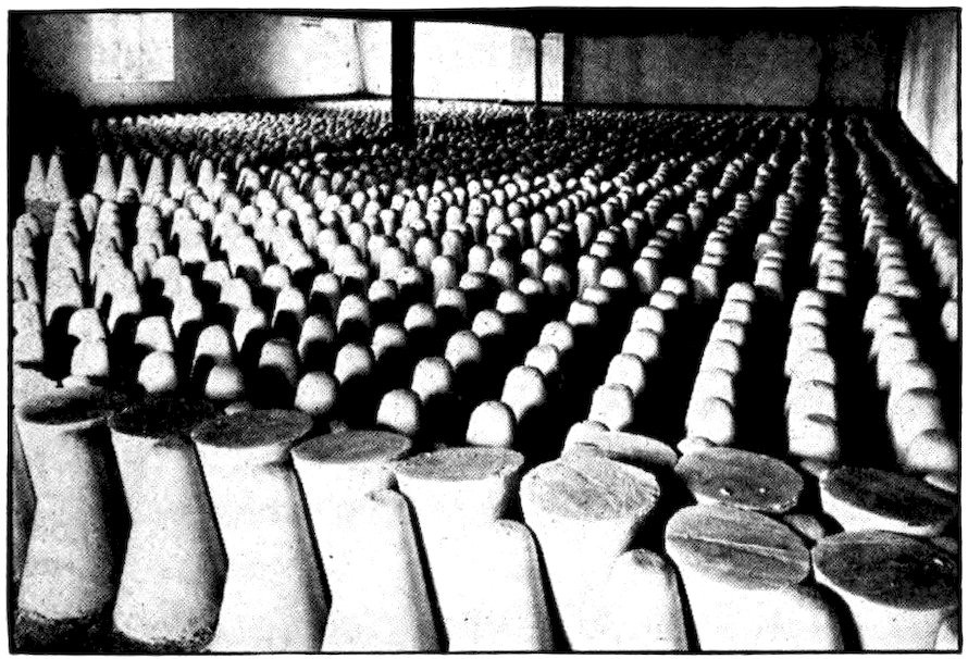
Rochester Photo, Mexico City
A warehouse in a Mexican sugar mill. The juice of the sugar cane is boiled down and run into molds of this shape, after which it may be refined until it becomes the snow-white sugar that we use on our tables.
Native markets are interesting sights in any part of the world, and very decidedly so in Mexico. Though there are stores much like ours in all the larger towns and cities, the common people do most of their buying 92in the market. This is usually a stone-paved yard covered by a sheet-iron roof. As it is seldom big enough to hold all the sellers and buyers, especially on the chief market day (often Sunday), the streets all about the market swarm with queer-looking people. One sees much vivid color and all manner of goods.
Ragged men and women squat on the narrow sidewalks or even in the street. Spread out before them are gay blankets, sarapes, clothing, old shoes, new sandals, rawhide thongs, lassos, native saddles, drygoods. For block after block are displayed sweetmeats, fruits, food (cooked and uncooked), native fabrics, precious stones and other stones that are merely pretty, matting, shells, feathers, baskets with colored designs, native herbs and medicines. Sections of the cobbled floor and street are covered with Indian pottery—jugs, pots, earthenware kettles.
There are big round cakes of what looks like maple sugar, though it is really ordinary sugar—what the Indian gets when he boils down sugar-cane juice in one of his crude kettles. We see a coarse kind of flour (it looks as if it had been mixed with gravel!), lumps of rock salt, a kind of native spaghetti, red and green peppers, red and black beans, ears of corn, shelled corn, corn meal, corn cakes, slabs of meat, fish which looks none too fresh. Chickens, their wings broken or their legs hobbled, lie forlornly on the stony ground. Ducks and turkeys are tied to the posts that support the roof. The turkey, by the way, is a native of Mexico. The Aztec name for it was guajalotl, a word which, as you might guess, came from the sound made by the gobbler. 93The Mexicans still call it guajalote instead of using the Spanish name.
Every market has its babies, crawling about under foot or carried papoose-fashion on the mother’s back. Dogs, flies, noises, confusion do not increase the visitor’s pleasure, but the Mexican of the lower classes does not mind. He loves excitement. Everything is sold by count or measure instead of weight, just as in Aztec days, when almost the only money consisted of transparent quills filled with gold dust, T-shaped pieces of tin and copper, and cacao beans. Bundles of corn husks are used as wrapping paper. Many of the purchases are very small—ten peanuts bought for a cent, a handful of tiny potatoes, slices of squash and pumpkin, a cent’s worth of cabbage, eggs by the mano (or “hand”) which means five at a time. If you wish to buy five dozen eggs, you will have to buy a dozen “hands,” paying for each “hand” at a time—for the Indians are not good at arithmetic.
About the streets wander peddlers of fowls, almost hidden beneath a dozen or more cages of chickens. Gamecocks are carried in little cigar-shaped baskets so that they cannot get hurt or hurt one another. Other peddlers have parrots, screeching parakeets, and canaries; still others oranges, bananas, mangoes, pineapples, pomegranates, and the large, oblong, pulpy fruit called papayas.
An Indian, driving his flock of turkeys to market with a long whip (much like the whip used by a Chinese duck herder), may sell one or two turkeys along the way, but he will not sell them all at once, even in 94the market. He seems to feel that this would cheat him out of his day in town. I know an American who tried unsuccessfully to buy all the broom corn in a market, at a higher price than the sellers could get for the finished brooms. They said that if they sold it all they would have no work to do for the coming month!
If you stop to buy a tortilla, all the other tortilla sellers will begin to shriek that the tortillas you are looking at are very poor ones, and that theirs are better. Beggars wander about. An old woman stoops to pick up three or four grains of corn that someone has dropped, and tucks them carefully away. You stop at an open-air restaurant in the market, where you perch on a narrow wooden bench and eat from a very rough table. But being a foreigner, you attract so much attention that you decide to dine thereafter at a hotel.
Then there are “readers.” Because most of the people cannot read, men and women who can are scattered through the crowd to do so. They read very fast indeed, usually from strips of cheaply-printed colored paper. Sometimes the strips are political arguments, sometimes poetry, sometimes stories. The readers are paid for their work by selling copies of each sheet after they have read it. Now and then a couple of musicians, one with a rude harp, another striking a steel triangle, sing mournful songs.
November had come when I took the train at Guanajuato and traveled down to Silao through broad plains of corn. So late in the fall it seemed strange to find dozens of women at the Irapuato station selling strawberries, but one can buy strawberries at Irapuato every day in the year. The basket I bought was a foot in diameter and cost only a quarter, so I was only amused to find all the largest berries carefully arranged at the top, with smaller and smaller ones toward the bottom. I still had some left when I reached Guadalajara after dark the next day.
All three of the main railroads carry their passengers to Guadalajara, the second largest and, in some respects, the finest city of Mexico. It is the capital of Jalisco, one of the richest states in the country. At an altitude of five thousand feet, Guadalajara has a better climate than lofty Mexico City. With its twenty plazas and many splendid buildings, it reminds the traveler of a southern European city. In fact, it is often called the Athens of Mexico. In the business part of town the sidewalks are covered with portales, great stone or adobe archways that form arcades along the edge of the street. One can stroll from store to store without stepping out into the hot sunshine. 96Guadalajara is noted for its porrónes, or porous clay jars in which water will remain cold even on the warmest day.
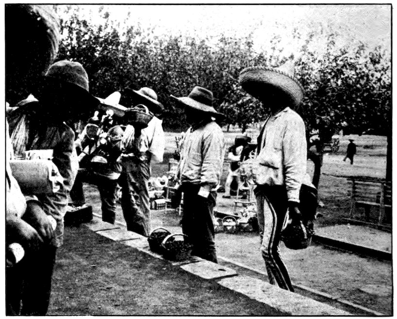
Delicious strawberries are sold at the station of Irapuato every day in the year.
One of the reasons that Guadalajara is so fine a city, and that its people are above the average in Mexico, is that there is no pulque in the state of Jalisco. Although its soil is very fertile, the maguey does not grow well. Drunkenness is rare, and there are no pulquerías to offend the traveler’s nose. Almost every night the band plays in the beautiful central plaza, and there are even occasional big electric advertising signs that remind one of large cities in the United States.
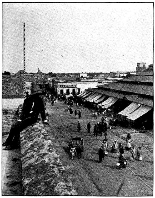
Underwood & Underwood
Looking down upon the market house at Guadalajara, Mexico.
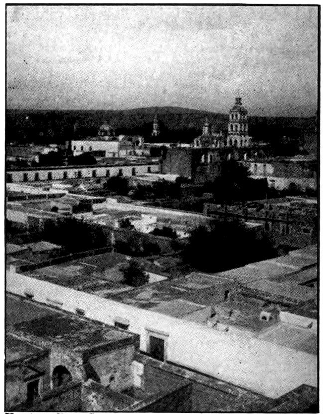
Keystone View Co., Inc.
As one looks across the city of Guadalajara, he can easily understand why Mexico has been called the country of domes.
Almost the only thing that keeps Guadalajara from being a favorite resort for rich American invalids is that its nights are too noisy. The Mexicans, like other Latin-Americans, do not seem to mind noise and uproar as much as we do. In fact, most of them seem to enjoy it. The policemen of Guadalajara all blow their whistles about every ten minutes from midnight until daylight, as if they were trying to keep up one another’s courage. All night long, electric street cars pound over the rails, creak at the switches, their gongs ringing constantly. Young men, who enjoy life too much to go to sleep, gather under a window to serenade some beautiful maiden, or wander through the streets, singing (or trying to sing) and playing guitars. About four in the morning, when the other noises die down, all the church bells in town begin ringing. They waken hundreds of dogs and roosters, who join the uproar, and soon afterward the peddlers begin to shout their wares. By this time the traveler is convinced that he will get no more sleep.
Keystone View Co., Inc.
The Falls of Juanacatlan are sometimes called “the Niagara of Mexico.”
Not far from Guadalajara are the Juanacatlan Falls which furnish electric power and light for the city. Five hundred feet wide and seventy feet high, they are often called “the Niagara of Mexico.” The Santiago River in which these falls occur flows into beautiful Lake Chapala, the second largest body of fresh water between Lake Michigan and Lake Titicaca, far down in South America. One lake in Nicaragua is larger. Lake Chapala is seventy miles long and twenty miles wide. Birds from as far north as Labrador come to spend the winter about it—and so do many wealthy people from the United States! It seems strange to find so large a body of water almost a mile 100above the level of the ocean. Like our Lake Erie, it is quite shallow, and violent storms often sweep across it. Fishermen, before setting out, almost always step into the Chapala village church to pray that St. Peter, their patron saint, will grant them a safe return. At this church, on the morning I left, the waves were dashing as if angry with it for cheating them of their prey. Yet the evening before, in water that was calm and friendly, I had a splendid moonlight swim that I shall never forget.
I take a horseback ride about Guanajuato. The picture shows several forms of cactus.
I had intended to have one of the fishermen take me down the lake in a small open boat, but the storm was so high that none of them would go. So I had a very pleasant summer walk to a great hacienda, or estate, owned by an American, at the other end of the lake. 101Along the way the roads and trails were not hard-paved and crowded, but soft and wandering, as if they were meant rather for walkers than for automobiles. Mud fences or walls lined some of the trails, but most of them had only open fields on either side, with clusters of adobe houses here and there. I met hundreds of Indians carrying on their backs pottery and earthenware figures wrapped in hay or grass. They were on their way to Guadalajara, for the next day, Sunday, was a great market day in that city.
One of the pleasures of life in Mexico is horseback riding. Nearly all the Mexicans, except the poorest class and those who live in large cities, have horses, and so do most of the Americans and some other foreign residents. (At last count, by the way, there were about 100,000 foreigners in Mexico.) I had had many a ride over the mountains about Guanajuato, and I rode all over this fine American hacienda. For miles in every direction vast fields were being plowed by oxen. The white garments of the drivers spotted the brown landscape. In the clear air of the Mexican table-land one can see much farther than in most places. At night there seem to be several times as many stars in the sky as we can see at home.
Once I stopped at the adobe home of a bee-keeper, and his wife hurried out with a big bowl of clear honey, and some tortillas. The bees lived in hollow logs having little thatched roofs. Out in the bushy foothills where land was not worth cultivating, we met the herdsman who was responsible for the hacienda cattle. His face was sunburned almost to the same color as 102his leather clothing. He knew by name all the animals under his charge, while the American owner did not even know how many there were, unless he looked the matter up in his office records. Once I climbed so high that I could see all of Lake Chapala, and range after range of the mountains not only of Jalisco but of Michoacán across the lake. To reach again the lake-front plantation house took my horse more than an hour. He had to pick his way down stony trails through almost perpendicular cornfields.
The next morning my American hosts sent me across the lake in their launch. I found a trail, and walked all day across the state of Michoacán. The scenery was beautiful. There were birds by the thousand. Lazy zopilotes, big ugly vultures, sat sleepily in the sunshine or circled slowly about overhead. Snow-white herons stood in the marshes, looking for frogs and other prey. There were birds red, blue, green, purple, golden, even lilac-colored. Wild ducks hovered about every reedy pond. Eagles did aviator stunts in the sky. Great flocks of small blackbirds flew close to the ground. The air was full of bird calls.
Almost all that day’s walk was on a single estate, called the Guaracha hacienda. It was one of those huge tracts of land owned by the same Mexican family for many generations. Just as my shadow was beginning to look very long and ungainly I reached the headquarters of the estate. Hundreds of white-clothed workmen, their day’s work done, were coming 103toward it from every direction. They all lived in a village of huts clustered about the owner’s residence and offices. I passed through several big gates and crossed three or four cobblestone-paved yards. In one of the outer courtyards were dozens of clumsy two-wheeled carts and in another were at least two hundred mules. The inmost yard was a garden of flowers, and at last I came to the great cement-floored veranda of the owner’s house, its roof supported by immense pillars.
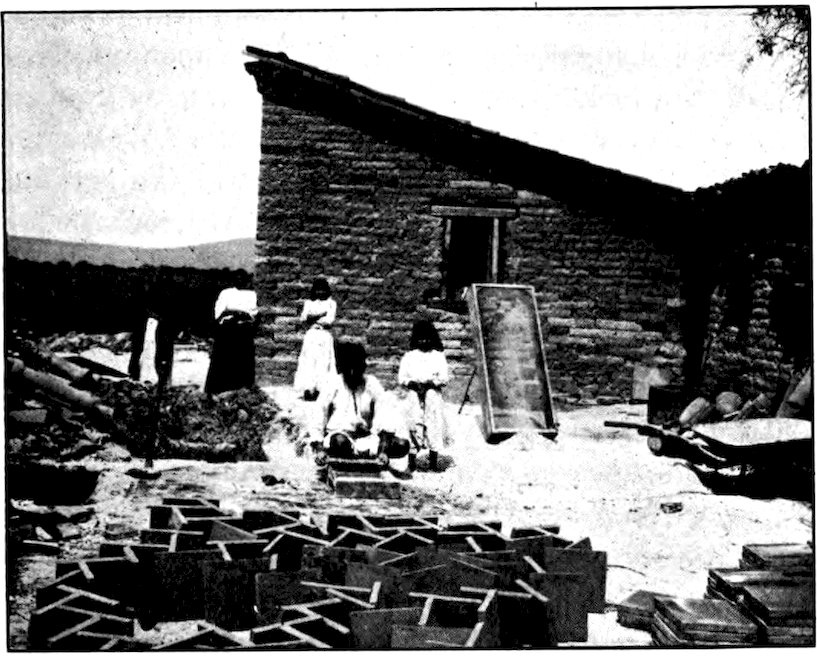
Making roof tiles on a big Mexican estate. There are few wooden houses in Mexico and shingles are almost never used. Tiles, made of clay and sand much as we make bricks, cover most of the roofs.
The owner was not at home. In fact he had not been there for years. Like many of the rich landowners of Mexico, he preferred to live elsewhere—in Mexico 104City, New York, or Paris. The estate was managed by an administrador, or manager. He appeared, wearing a white jacket and skin-tight trousers, with an immense revolver strapped on his left hip. Welcoming me with Mexican politeness, he ordered the servants to prepare dinner and a bed for me. Although he was more courteous than most Americans, I felt at the time, and still feel, that he did not like “gringo” visitors. He sat with me awhile, but would not join me at supper, saying he was afraid of getting too stout if he ate more than twice a day.
Such immense estates as this, with owners who live like kings on what their peons produce, are the ones which the Mexican Government is attempting to divide among the people who do the actual work. (You will find more about this in Chapter XII.) One front corner of the Guaracha hacienda house was used as a store, and the other as a church. Many of the peons were in the store, buying on credit against their future wages. After evening church service (held every night) the priest sat with us on the veranda and told amusing stories. He had on a huge black Texas hat and what seemed to be about half a dozen long robes. The Indian workmen, their wives and children came up now and then to kiss his hand.
The administrador insisted on lending me a horse for the rest of my trip across his estate. He seemed to think that the white or upper class would be disgraced if the common people saw me walking. The 105horse and the mozo, who was to take him back, landed me at a railroad station. But I left the train at Zamora and set out on foot again.
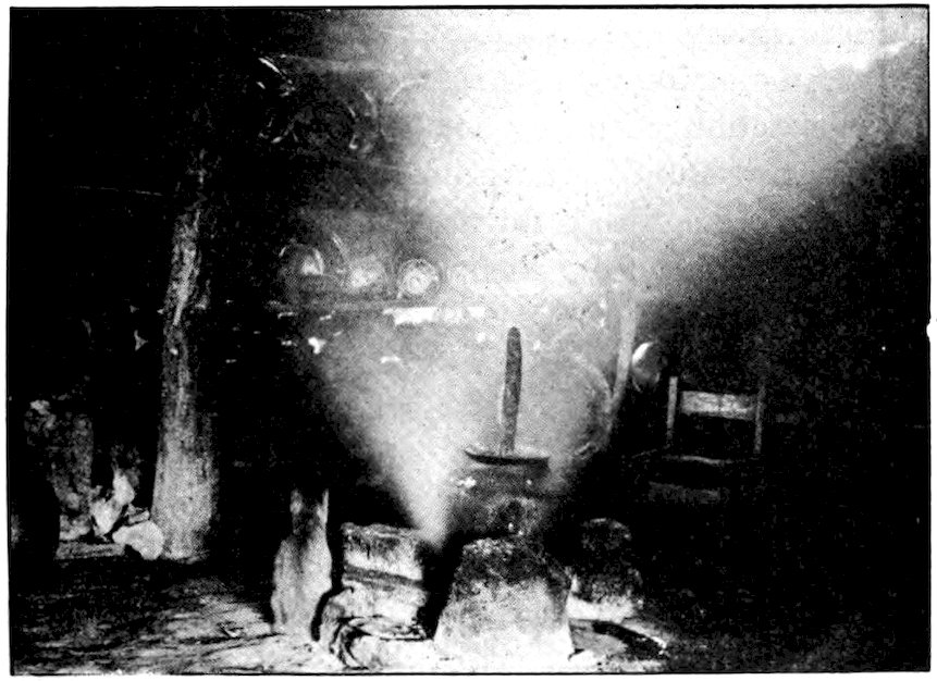
The interior of a Mexican hut. The cookstove consists of three stones laid together, with a little fire between them. In this very humble home the family and the family cat are quite contented.
It was barely daylight when I started. Hundreds of Tarascan Indians, going down to town for market day, crowded the narrow, winding trail for the first few miles. They were not exactly friendly, but they showed no desire to harm me, though an American who lived near Zamora had told me it was dangerous to take a walking trip among them. The trail stumbled over long stretches of jagged rocks, wandered in the bed of a mountain stream, then climbed through thin pine forests, the wind whistling mournfully. There were many cornfields. Suddenly I remembered 106what I had heard about these Indians. Although they had not welcomed me with open arms, all had said “Adiós” or some other Mexican form of “Good day,” if I spoke to them first. But when I stepped into a field to photograph a man guiding a wooden plow, to which were hitched a donkey and a cow, he shouted, “No, señor, I don’t want it.”
“Why can’t I take your picture?” I asked.
“Because I don’t want it taken,” he replied.
On my travels, I have often met people who objected to being photographed. Many tribes and races are superstitious about photography, as this Indian evidently was. They think that a man who has their picture can harm them by harming the picture. However, very few of them are as determined as this Tarascan Indian, who picked up a kind of ax-hammer and strode toward me swinging it threateningly. Having already decided to oblige him by not taking his picture, I went on my way before the argument grew more personal.
In the straggling towns, with their buildings of thatch and rubbish, there was no objection to my camera. Indeed, the people were eager to be photographed, but they always wished to see the picture the moment I had snapped it. I never could make them understand that there would be nothing to see if I opened the camera and showed them the film. One friendly old woman let me photograph the interior of her hut, with her cat sitting on the earth floor beside the “hearth”—a fire built between three stones. Then she brought out a tiny photograph of her dead son and asked me to make a life-size picture from it!
Late that afternoon I was reminded again of the American’s warning. Just at sunset I heard half a dozen peons singing and shouting as they came over the top of the hill ahead. I was sure they had been drinking mescal or tequila, and knowing how quarrelsome the peons can be when drunk, I was not surprised at their inviting me to a duel. I carried a revolver, but it was too small to do much harm. Besides, I wanted to keep out of trouble. I acted as friendly as possible; but the biggest and most intoxicated man in the group had a large new revolver which he seemed bent on trying out on me. Fortunately it took him some time to get his courage up, and while I kept my boy’s weapon pointed at him I backed away down the road. Finally he fired four shots at me, but his aim was poor. All the men, women and children traveling in my direction gathered close about me, hoping I would protect them from their drunken fellow-countrymen!
The next day’s walk through a great pine forest was delightful, although my early morning start was a cold one. At last the trail, unraveling like a broken shoestring, went swiftly down a great mountain into the town of Uruapan. It was as different from the town where I had spent the preceding night as Florida is from Illinois. The houses were set in banana groves, and many of them were lightly made. The people, surrounded by flowers, seemed more cheerful than those up on the bleak plateau, and I should have liked to stay longer among them.
THE only train out of Uruapan left long before daylight. There was such a crowd of peons about the tiny waist-high ticket window that by the time I got my ticket I felt as if I had played through a championship football game. After traveling for an hour or two across a land of cornfields pink with cosmos flowers, the train began to climb. It went up in great loops to a high station from which I had a wonderful view, and then raced down the other side to beautiful Lake Pátzcuaro. The town of the same name is very old, and lazy, and delightful. The grass grows up between the cobblestones of the streets, but no one seems to care. The people look and act as if they were asking, “What is the use of doing to-day what we can put off until to-morrow?” This philosophy of life seems, to keep them happy, but most of us would hardly be contented to imitate them.
On the edge of Pátzcuaro is a hill called Calvary, the summit reached by a steep and stony trail along which are fourteen “stations of the cross.” The pious people of this region often go up there to pray. From that height the landscape with its mountains and plains looks like a huge brown sun-faded tapestry. In the center, as if it were a great ragged hole in the 109fabric, lies Lake Pátzcuaro. Sandy promontories and tongues of mountains give it a very strange shape. On the shore of the lake, a few miles from Pátzcuaro town, lies what is left of the ancient capital of the Tarascan Indians.
Tzintzuntzán was the residence of the chief of the Tarascan kingdom of Michoacán, which was not conquered until ten years after Montezuma’s empire fell. To reach it I started out early one morning, while Pátzcuaro was still blanketed with fog. On the way I met long processions of Tarascan Indians with red pottery, of every size from cups to immense water jars, carried in nets on the backs of horses, donkeys, men, and women. Even small children carried loads. Here and there I picked up shining black obsidian, a hard stone used in olden times in place of steel. Some of the pieces were in the form of arrowheads and crude knives.
I had hoped to have a swim in Lake Pátzcuaro. But though the trail often touched the shore, this was so muddy that I should have had a mud bath trying to get in or out of the clear water.
Tzintzuntzán was once an important city, but even the splendid ruins which travelers saw there a hundred years ago have almost disappeared. Now it is really only a poor Indian village, with pigs roaming in the cobble-paved or muddy streets. The bells of the ancient church are hung in near-by trees so that they will be less likely to be shaken down by earthquakes. 110Inside the church there is a picture, supposed to have been painted by the great artist Titian, which is famous the world over. A queer out-of-the-way place to find a masterpiece!
In the church of the little old town of Tzintzuntzán, former capital of an important Indian empire, is this famous painting, said to be by the great Italian painter Titian.
The modern capital of Michoacán is the city of Morelia. It lies in a broad rolling plain, 6,200 feet above the sea. Across the town stretches an ancient aqueduct, some of its high arches covered with masses of purple bougainvillea. High above everything else stand the two beautiful towers of the cathedral. Morelia is warm for all its height, and brown with dust, while the country about it is almost treeless. If it were not for pulque, the city might be as splendid as 111Guadalajara, for the region is very fertile. As a matter of fact, the people are so slow and backward that Michoacán is often called “the torpid state.”
The stone chapel erected on the spot where Maximilian, the Austrian archduke who tried to be emperor of Mexico, was shot by order of the Mexican president Juárez.
The railroads from Morelia to Mexico City make a great half-circle through the candy-city of Celaya and the opal-town of Querétaro. The latter is famous as the place where Maximilian was captured and ordered shot by Benito Juárez. Out on a bare stony hillock at the edge of town where the ill-fated emperor faced a firing squad, is a stone chapel dedicated to him. There are fields of corn all about it, as if it were no more famous than any other spot in Mexico.
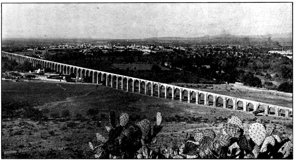
Photo by Hugo Brehme, Mexico City
The great Spanish aqueduct that brings water to the city of Querétaro. The huge spiny cactus leaves in the foreground are the kind on which grows the tuna or cactus apple.
At Querétaro I caught a south-bound express train. We zigzagged up through bare, stony country to reach the higher plateau of Mexico City. There were still fields of maguey in long rows, with men gathering pulque in pigskin bags. But the maguey was the only 113green to be seen, for the great cornfields had dried up that year for lack of summer rain.
I should have preferred to enter Anáhuac, as the Aztecs called the Valley of Mexico in which they built their capital, during the day. But by the time we reached the highest point on the line, 8,237 feet above the sea, the red sun was sinking behind the great peaks ahead of us. The weather was like that of late October in our northern states, and almost the only vegetation was scrub oak. When we reached Tula, ancient capital of the Toltecs, it was black night. Even so, the light of the train gave me glimpses of the great cut in the hills by which modern engineers drained the ancient valley of Anáhuac. The train raced on down into the valley, and soon I found myself struggling with a mob of passengers at Buena Vista Station in the City of Mexico.
In 1925 Mexico City celebrated its sixth centennial. It was founded in 1325, almost three centuries before the first English settlement in North America. I have already told how, according to the legend, the Aztecs saw an eagle perched on a cactus and holding a rattlesnake in its claws, and there built the city they called Tenochtitlan. Thus the capital of Montezuma was founded more than a hundred and fifty years before Columbus crossed the Atlantic, and nearly two centuries before Cortés landed in Mexico. The Spaniards tore down most of the Aztec buildings, but they built their own capital on the same spot.
114Mexico City is 7,347 feet (nearly a mile and a half) above the sea, yet it was built on a swamp, much of which has now been drained. It stands in a beautiful valley surrounded by mountains. The snow-clad peaks of Popocatepetl and Ixtaccihuatl seem to reach into the sky almost above it. Mexico City has about the same population as Pittsburgh. It is the only really large city in Mexico. Guadalajara, the next in size, has about as many people as Albany, N. Y.
The principal thoroughfares of the Aztec capital radiated from a central point, an immense square in which towered the temple of Huitzilopochtli, the Aztec Mars or god of war. This main plaza, now called the Zócalo (an Arabic name brought to Spain by the Moors centuries ago) still contains the main religious building of Mexico, for the great cathedral takes the place of the old teocalli. The people to-day worship on the same spot where their ancestors watched the dreadful Aztec priests perform sacrifices. This is the oldest cathedral in North America, having been built between 1573 and 1657. Its walls form a cross 426 by 206 feet.
All about the Zócalo are government buildings flying the Mexican flag, which is red, white and green, and bears the eagle-and-rattlesnake coat of arms. We see many soldiers near these buildings. They look rather boyish and poorly disciplined compared to our soldiers. Military service, by the way, is compulsory in Mexico. Every young man in the country is supposed to serve either in the active army or in the national guard; but many youths manage to get out of it. Among the 115government offices we find the telegraph department as well as the post office, for in Mexico, as in continental Europe, the government handles telegrams as well as mail. New buildings are still being added by the government. The Legislative Palace on the Plaza de la República will cost millions of dollars. All Latin-American countries have a tendency to spend a great deal on their capitals and little in their provinces.
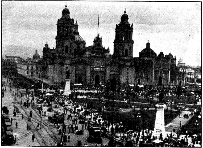
Underwood & Underwood
The Zócalo, Mexico City’s great central square, on which front the Cathedral and other important buildings.
Although Mexico City is large and modern, with inhabitants of many nationalities, few of its business buildings are more than three or four stories high. Of churches, there are fifty or more. All, except a big American Episcopal church and a few small ones of other denominations, are Roman Catholic.
116The principal streets are broad, well paved, brightly lighted and clean. There is an excellent electric street-car service. This will carry us along beautiful paseos (raised roads lined with double rows of old trees) through the colonias (rich suburbs) out into the country. There are many automobiles also. As the drivers are reckless, and the traffic rules and police are more lenient than in the United States, we must be very careful in crossing a street.
Looking across Mexico City one sees no skyscrapers, though there are some large buildings. Most of the houses have flat roofs, which are often used in the evening as family sitting rooms.
Most stores in Mexico City are open from eight to one and from three to seven. During the two hours that they are closed, the town seems almost dead. As 117everyone goes home for lunch and a siesta, or afternoon nap, the traffic is very heavy four times a day, instead of merely morning and evening. In front of many of the stores are portales, arcades. Foreign as well as Mexican goods are sold. The latest men’s hats from New York or London may be seen in the same window with immense plush or leather sombreros. There are bright yellow sombreros, trimmed with silver, costing a hundred dollars; there are huge gray hats, hats as green as the hillsides of Ireland, hats weighing several pounds and worth their weight in silver. The wealthy men of Mexico, especially those who ride horseback in the country, think they are not well dressed unless they wear the most huge, elaborate, and costly hats.
Photo by Hugo Brehme, Mexico City
“Fifth of February Street” in Mexico City. It is so narrow that the sun shines into it for only a few minutes each day.
Many of the stores have fancy or romantic names. The sign on the front almost never gives the owner’s name or any hint as to the kind of goods sold inside. A clothing 118store belonging to José Caballero may be called “The Eden of the Poor Man,” or “The Ideal of the Future.” You must look inside a store to see whether it sells vegetables or pottery, and inquire of a clerk if you wish to know who owns it. Yet the shop names are easy to remember, and are a kind of trademark.
In the stores all the people, except high-class ladies, smoke if they wish. Even the clerks do so when waiting on customers. Mexican cigarettes being very strong, the air in a busy store soon becomes hard to breathe. In all but the best department stores and foreign-style shops there is bargaining over prices. A clerk who can sell something for more than the fair price gets a part of the extra profit. But we have not always had fixed prices in our own American stores.
In Mexico, and the other countries south of the United States, the streets sometimes bear names that seem fantastic to us. We would think it very strange to find a “Fourth of July Street” or “Labor Day Avenue” in an American city. But our southern neighbors often name a street for their independence day, or for some other holiday or saint’s day. Another interesting feature in Mexico City is the “Mount of Piety.” This is a municipal pawnshop, where those who need money can borrow it at one per cent a month interest by pawning what they can spare.
We have seen the adobe huts that Indians and peons build in the colder parts of Mexico; we shall see reed and branch hovels in the warmer parts of the country; 119and you will recall that in passing through Laredo we glanced at some typical houses. (Chapter II.) It will be interesting to explore a better-class house in Mexico City. It is two stories high. The stone or mud-brick walls are three or four feet thick, and tinted a bright color. The inside walls are not papered, but are painted or kalsomined. About the patio or courtyard, which is the daytime living room, is a tile-floored, covered walk or half-open corridor. The front door is a heavily-built, metal-studded affair, secured with enormous iron bars and huge padlocks.
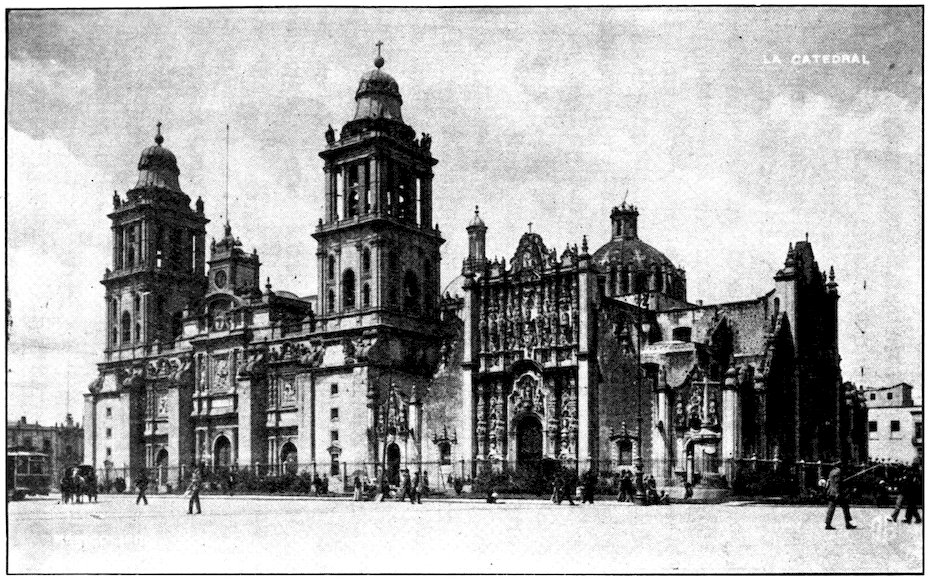
The great Cathedral which faces the central square in Mexico City is one of the oldest, largest and finest churches in the New World.
120The owner lives on the second floor. The ground floor is occupied by the servants and may contain a stable or garage; or it may be rented as a store. The family rooms open on a balcony overlooking the patio. The ceilings are very high. The roof, thick, heat-proof, is flat and paved with bricks. This style was brought to Spain by the Moors of sunny northern Africa. The roof is used as a playground and is the place where the family gathers in the evening. As a flower garden it rivals the patio below. A parapet guards the roof’s edge, but neighbors may step from roof to roof. Water runs off through tiles that project beyond the walls, emptying directly into the street or the patio. During a shower, if you are not careful, you may find yourself beneath a small Niagara.
Photo by Hugo Brehme, Mexico City
This splendid old house in Mexico City was built by Rodrigo de Vivero y Velasco about 1596. Its many azulejos or colored tiles have made it known as the Tile House. The builder’s father once said to him, “My son, you will never build a house of tiles.” He meant that the boy would never succeed. However, the young man did prosper and built this residence which is now the Jockey Club.
The house, no matter how fine in other respects, has few modern conveniences. The brick floors are very cold in the morning, though they may be warm enough by noon. Sometimes there are rugs, but very rarely carpets. In Mexico City even millionaires seldom have their houses well heated. There are probably not a hundred homes in all Mexico with furnaces or other central heating plants. Since we Americans often go 122to the opposite unhealthful extreme of over-heating, the Mexican way seems especially uncomfortable to us. An American family who wish to live in Mexico as they do at home have almost to reconstruct their house to install stoves, perhaps running pipes out the windows. Few Mexican houses have chimneys.
Servants have always been so plentiful in Mexico that only the poorer Mexican women ever do any cooking, though they are all excellent workers with a needle. Cookstoves are usually crude, even in the best houses. They are often made of mud-bricks, with small charcoal holes to cook over. As the servants will not use American ranges or other “new-fangled” things, the old style still prevails even among the rich.
Servants in Mexico are much like those in China. Four or five can be had at the cost of one American servant. As a matter of fact, one has to have four or five servants. The cook will do no washing or sweeping, and even the mozo, or “man of all work,” has very limited duties. The mozo usually serves as portero, a combination of doorman, guard, and janitor. He sleeps, often on the floor, just inside the big front door. Knowing that the mozo will open the door, the family, when they go out for the evening, do not have to carry any of the huge old Spanish keys.
Unlike the custom in China, Mexican servants are given either their food or an allowance of money for board. The cook often feeds all her own family from the household supplies of her employer. The lady of 123the house usually does not go to market, but sends her cook or another servant. Just as in China, the servant entrusted with this duty often “squeezes” a few cents on each purchase; that is, he takes a little commission for himself.
Mexican 20-peso bill, issued in 1914 by the Provisional Government from its headquarters in Vera Cruz. Notice that although the word “peso” is used, the dollar sign is given interlocked with “20.”
The Mexican National Theater in Mexico City is one of the most costly and elaborate in the world. Among other things, it has a glass curtain, made at a cost of thousands of dollars by a great jewelry firm in New York. But the theater has never been finished. The tendency of the government recently has been to regard schools and lecturers on agriculture as more important than places where the rich may enjoy themselves in the evening. Yet nearly every important Mexican city has a magnificent municipal theater, supported by taxes on the people.
The same play is not given week after week, as in the largest United States cities. Stock companies present a different play every few days, or even every day. One reason they can do this is that in Mexico, as in continental Europe, a prompter is used. He sits in a little box at the front of and half under the stage, and reads the lines to be repeated by the actors. Sometimes he can be heard all over the house, but this does not seem to bother a Mexican audience at all. Actors who are used to having a prompter can seldom remember their lines without one. I remember a very funny performance of Hamlet given in New York City by a foreign company which had just come up from 125Mexico. As there are no prompters’ boxes in New York, except in the opera houses, this company’s prompter had to stand in the wings at one side of the stage. The prompter had bought a huge Mexican hat, which he wore through the entire play, and as there was a light behind him, the shadow of a man in modern clothing topped by a huge cowboy hat was thrown on the stage among the actors, who were garbed in medieval doublet and hose. You can imagine how odd was the effect.
Most plays in Mexican theaters do not last a whole evening. Zarzuelas, Spanish one-act farces, are more common. You may buy a ticket for one tanda, a single play, or for the whole evening. But if you pay for only a tanda and then decide you would like to see the whole show, you may find that you have to go out or take another seat because your seat has been bought for the next tanda.
Among other Mexican recreations are bullfights and cockfights, always with much gambling. In fact, gambling itself is one of the chief recreations. Lottery tickets are sold everywhere, even by peddlers who call the numbers as they wander along the streets. During a ball game the noise of betting often drowns out the umpire’s voice.
There are bull rings in most Mexican cities. The one in the capital, probably the largest in the world, is a huge steel structure. Great crowds gather there for the most important bullfights, which are usually 126offered on Sunday. Sometimes as many as 30,000 spectators—men, women and children of all classes—see a fight. Yet even such a crowd is small by comparison with that at one of our championship prizefights—and the admission fee to a bullfight is a great deal less.
Keystone View Co., Inc.
Mexico’s chief sport is the bullfight.
Of the cruelties of bullfights, where horses are gored to death and bulls worn out with painful teasing before they are butchered—or of cockfights, where the roosters gouge out each other’s eyes with their sharp spurs, and perhaps both die of their wounds—I will say little. After all, we cannot fairly criticize such sports so long as brutality and gambling are allowed at our crowded prizefights.
127Horseback riding used to be quite general in Mexico, and many Mexicans ride well. There is almost no tennis or golf, except among foreigners. In mining districts, and in other places where Americans live, there is some baseball. One of the most amusing things in Mexico is to hear our baseball terms translated into Spanish, or mispronounced in English. Sometimes, on a Sunday, a “gringo” and a Mexican team play a game—and the Mexicans do not always lose.
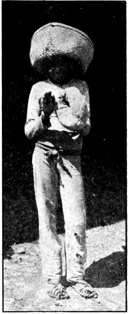
A Mexican boy who likes to play baseball.
However, baseball is rather strenuous for the Mexican climate and temperament. Because of the plateau altitude, it is hard work even for Americans to run bases. There is gymnasium work in most city schools, and the young men of the cities are fond of fencing. One of the most interesting games played in Mexico City and a few other places is pelota or jaí alaí. This game was invented by the Basques, who live in the Pyrenees Mountains on the border between France and Spain. There are two players on each side. On the right hand they wear a long cesta, a kind of trough woven like a basket. With this they play a 128game that reminds one of handball. At the end of the long, high room is a slate wall against which the ball is struck. A constant uproar of gambling goes on among the spectators at a jaí alaí game. Since this is a very violent game, for which the players must be in the pink of condition, it has become almost entirely professional, like bullfighting, which also was once engaged in by amateurs.
The mildest and pleasantest, as well as most general, recreation in Mexico and in almost all the countries south of the United States is the promenade. The central plaza is the center of social activity. During band concerts the people walk slowly round and round the plaza. The single men go in one direction, and the girls and young women in the other. They smile or stare at one another each time they meet. In some places there are four lines, two lines of the upper class inside and two of the poorer people outside.
The plaza is where most courtships begin. In Mexico boys and girls do not mingle freely. A young lady may not appear in public with any man to whom she is not related. After she is married, her husband, father, or brother must always go with her. An elderly Mexican woman is expected to have at least one servant along when she shops. The “women of the people,” as the wives and daughters of the peons are called, are more free in their movements. The girls and women of the middle class have not long worked in stores and offices, but now thousands of girls are employed 129in such places in Mexico City. An unmarried woman, if she does not enter a convent, lives with her father or brother.
Photo by Hugo Brehme, Mexico City
An old house in Mexico City, showing a paved patio. The rooms all open on this court.
Mexicans of marriageable age have rather a poor chance of becoming acquainted. A young man perhaps catches a glimpse of a girl in church, or at her 130window, and wishes he knew her. He probably finds her in the evening plaza promenade. Even there he does not speak to her, but they may gradually begin to smile when they meet.
After this has gone on for several evenings, the young man follows the girl home. She, of course, is with an older relative, and the suitor stays well behind, pretending he is not following. The girl looks out through the iron bars of a high window and sees the young man leaning against the wall of the house across the street. But at first she pretends not to see him. Later, if he comes every night, she begins to let him see that she is watching him. But he must be sure to come, even in bad weather. If he is afraid of a wetting he will be considered a poor prospect, a “fine-day lover” only. By and by the two begin to talk through the bars of the parlor window. This coming to a girl’s window every evening is called “playing the bear,” though it is really the girl rather than the young man who is inside the “cage”! If the window is high above the street, sometimes the man may bring a small hand telephone, such as can be bought in the best Mexican stores. But you may be sure that some older member of the young lady’s family listens and keeps an eye on her, so that she will not overstep the bounds prescribed by Mexican custom.
Finally—provided the young man has not decided to “play bear” somewhere else, or the young lady has not stopped coming to the window—the father, or uncle, or a school friend of the young man calls on the father of the girl. After many preliminaries this 131go-between explains the suitor’s prospects, tells how much money he has, and asks that he be allowed to court the girl formally. If the family is willing, the same relative or friend brings the young man and presents him, first to the father, then to the mother, the brothers, sisters, aunts, and cousins who may live in the house—and finally to the girl herself. Everyone pretends that until then the young man has never seen her! After that he may call upon her every evening, though always with some member of the family in the room or at least within hearing. Marriage usually follows quickly after the “introduction.” The groom has to pay all the expenses of the ceremony and must even provide the bride’s trousseau! Usually he tells his future mother-in-law how much of his money she may spend on the bride; or perhaps his own mother, sister, or aunt buys the bride’s outfit. However, the girl often brings a dowry, money or other property, and so does her share to establish the new household.
Mexicans are noted for their formal politeness. Almost everyone I met along the road in the country said “Adiós,” which really means “May God be with you,” just as our “Good-by” originally did. Even the peon lifts his hat and says “Con permiso” (“With your permission”) when he wishes to get past you. A whining beggar can be driven off with a “Pardon me,” more easily than with rough words.
When people move into a new town the strangers are expected to call on the old residents, which is the reverse 132of the custom in most parts of the United States. Anyone you call on will be very, very polite, even though he may not like you. A Mexican seldom invites a friend to his home, and not often to his club. To be sure he may offer you his house, saying it is yours, or he may seem ready to give you anything of his that takes your fancy, but you had better accept nothing—though I know of cases where the owner saw something precious carried off rather than be discourteous. Saying “My house is yours” is really only a formality, like our “Dear Sir” in a letter.
Because many of the sidewalks of Mexico are very narrow, it is not customary always to keep to the right, as we do. A woman, or the older of two men or women, or the social superior, expects to be given the side nearest the wall. The person on the outside may have to step off into the mud.
In introducing one person to another a Mexican begs permission of the more important person to present the less important one, or of the older to present the younger. If a man is introduced he responds by giving his full name, very clearly—“Juan Miguel Calles, servidor de usted” (“your servant”)—and then the older or more important person does the same. This is surely better than our way of letting the introducer pronounce (or mispronounce!) the names. Persons introduced usually bow low without shaking hands. Men friends when they meet fairly hug each other, shaking hands when the abrozo or embrace is broken. If two Mexican friends, or even old acquaintances, meet a dozen times a day, they shake hands, talk a little, and 133then shake hands again as they part. Women do not repeat their names when they are introduced, and instead of embracing each other, they kiss.
Rochester Photo, Mexico City
A Mexican barber who attends to his customers wherever he can find them. He charges very little, but then, he has no rent to pay!
Christmas is celebrated for a week or more in Mexico. On Christmas Eve, and sometimes for several evenings before Christmas, there are celebrations in the homes. Instead of the Christmas tree, and “stockings hung by the chimney with care” there are piñatas. These are small earthenware jars stuffed with candy, games, toys and even money and valuable presents. They are hung from the ceiling of a room or from a tree in the patio, and each child is blindfolded and given three chances to break the jar with a stick. When at last it is broken, the children tear the bandages off their eyes and shout and laugh as the entire company scrambles for the sweetmeats and presents.
The capital of a country is usually the best place to learn about its form of government, though it may not be the best place to find out how the government really works. The government of the “United States of Mexico” is in many ways like our own. The Mexican constitution, like many others, is modeled on ours. The action of the English colonies in America in declaring their independence of the mother country gave Mexico and other tyrannically ruled colonies in the New World courage to do likewise.
The young republics, naturally, found that what suited us did not altogether suit them. In general, they have made new constitutions, instead of trying to keep the old ones up-to-date by amendments. Still, the framework of government remains much like our own. In Mexico there are two senators from each state, as with us, but there are also two from the Federal District. Instead of calling the larger legislative branch the House of Representatives, Mexicans use the European term, Chamber of Deputies. Like our representatives the Mexican deputies are elected on a basis of population, one for each 60,000 inhabitants. All men can vote. A married man may vote at eighteen years of age, a single man at twenty-one.
135In theory the president is elected by popular vote, for four years, and cannot be re-elected. He must be a Mexican by birth and at least thirty-five years old, and his father and mother must also be native Mexicans. Instead of waiting, like our presidents, until March 4, four months after election, the new Mexican president takes office December 1. In practice, however, most Mexican presidents have obtained office not by election but by force, gathering a small army and driving out whoever is president at the moment. Therefore the more intelligent and independent Mexicans often do not have a chance to vote, and so many of the others are told how to vote that there are seldom any real elections. The Supreme Court is supposed to be an independent body, like ours, but a dictator-president usually has so much power that he controls both the legislative and judicial branches of the government.
There has been so much talk about the Mexican constitution of 1917 that we must not pass on without glancing at it. It is much longer and more detailed than ours, and certain of its provisions are novel. Some people say that it is a Bolshevik constitution; others claim that it at last gives the ordinary people a fair chance, instead of letting the rich have everything. It provides that every Mexican who wants a piece of land shall have it. Any village that petitions will be given, from the neighboring big estates, enough land so that each family shall have twelve and a half 136acres of irrigated land or fifteen acres of inferior land. More than two million acres have already been distributed in this way. In some parts of the country the landowning families are allowed to keep from five to ten thousand acres. If they do not divide the rest and offer it for sale within a year, the government takes the property and divides it, giving government bonds in payment.
As about seventy per cent of the fifteen million inhabitants of Mexico make their living from the soil, this is an important reform. Until 1857 every village did have land for its people to cultivate. Then Juárez drafted a new constitution dividing the land and allowing the people to sell their property for very little to the big landowners. When they had foolishly done this, the peons had to work for the big hacendados at any wage offered them. Many spent so much in advance at the hacienda stores and for weddings, funerals, and other ceremonies presided over by the hacienda priest that they were practically debt slaves.
Can Mexico ever be a country of small independent farmers? Some observers say no. Machinery and big irrigation works are needed. The great Boquilla Dam in the state of Chihuahua was built not by Mexicans but by an American company. The peons have no capital to invest in improvements, and they are not progressive or energetic. Near as they are to the United States, most of them have very primitive agricultural implements. Moreover, the peon does not want responsibility. He prefers a master who will tell him what to do. The best way to keep him at work is 137to keep him in debt. His reasoning seems to be: “If I am in debt to an hacendado I am sure of my job. Therefore I do not wish to be out of debt and have land of my own.”
This plow was made by the farmer himself. It is entirely of wood except for a little iron point, and it does not plow deep enough to prepare the ground for really good crops.
Under Diaz, foreigners owned much in Mexico, especially the mines. The new constitution says a foreigner cannot own land or water within a hundred kilometers (about 62 miles) of the frontier or of the coast. If he was already owner of any such property when the new constitution went into effect, he was allowed to go on holding it until he died, but he could not will it to his children unless they were Mexican citizens. In order to own land anywhere else in 138Mexico a foreigner must promise not to claim the protection of his home government; so far as concerns his property, he must be a Mexican.
The new constitution has also affected religious organizations in Mexico. The church laws that are now being enforced were also in the Juárez constitution of 1857, but they are regarded by the Roman Catholics, especially, as unjust. Many Mexicans believe that the Church and the government should be quite separate. Certain priests formerly exercised political influence and owned immense tracts of land. The 1917 constitution forbids the Church to own real estate. Under Calles the church buildings were taken over by the government, and the priests were allowed to use them only under certain conditions. Outdoor religious processions and other ceremonies were forbidden, and priests and nuns might not appear in public in their vestments.
The “revolution,” as the Mexicans call the years of trouble and fighting that followed the downfall of Diaz, was directed against the big landowners. The new government policy is sympathetic toward labor, and gives advantages to the working people. An agricultural college has been established in Mexico City for men from every state. There are other similar schools elsewhere. The government sends out agricultural experts to give advice in even the remotest districts. They lecture in theaters, abandoned churches, public squares; they use the radio, the movies, and printed circulars to teach the people better farming 139methods. The federal government gives or sells seed and helps farmers to buy machinery. In most of Mexico’s twenty-eight states there is a National Bank of Agriculture in which both state and federal governments are interested.
The trouble is that while seventy per cent of the Mexican population lives on the land, only about one acre in ten is cultivated. Some soil is so fertile that it will yield three crops a year, even with the crude old methods and no fertilizing. But less than half the country is now useful for farming. The government is working hard on an irrigation program, and in time Mexico will probably have enough fertile land to support all its people.
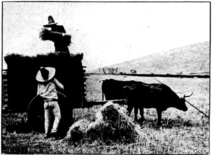
Underwood & Underwood
Haying time in Mexico means the use of a two-wheeled oxcart. In most parts of the country farming methods are still very primitive.
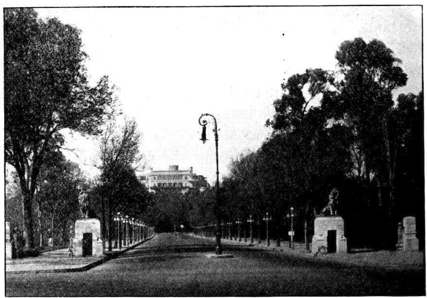
Courtesy “Picturesque America”
The castle of Chapultepec near Mexico City, the summer home of the president, is surrounded by a very beautiful park.
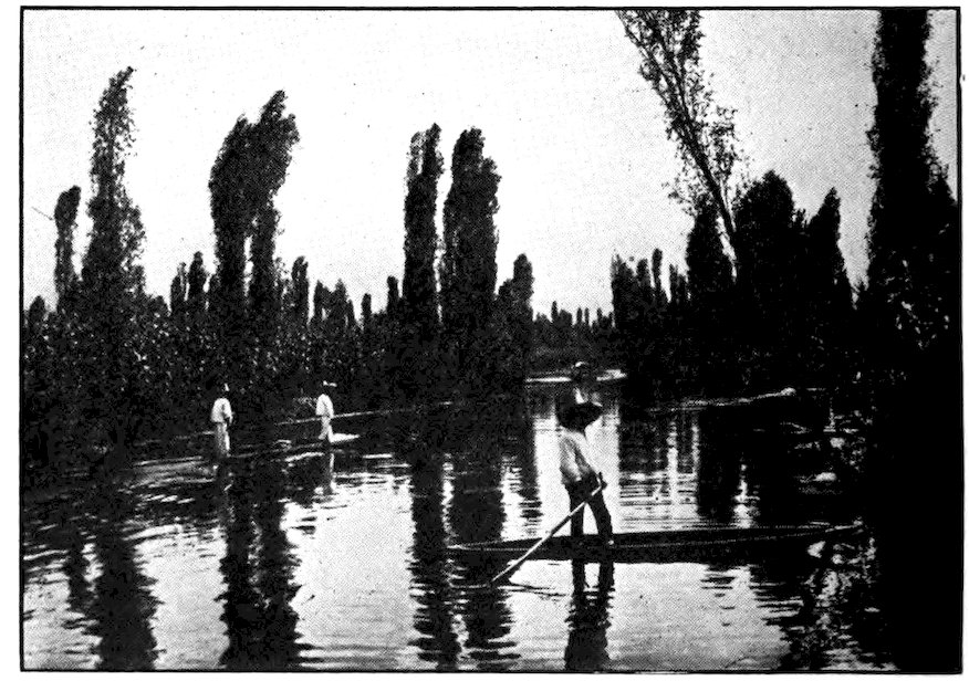
Photo by Hugo Brehme, Mexico City
Among the “floating gardens” of Xochimilco, near Mexico City.
Chapultepec, on the outskirts of Mexico City, was the summer home of Montezuma. Now it contains the president’s handsome summer palace. There is a wonderful park, and along the paseo or boulevard between it and the capital are fine statues of famous Aztecs and Mexicans. For a century Chapultepec was the West Point of Mexico. Many of the cadets were killed when American soldiers captured the place during the war with Mexico. Now there is a larger military academy at San Jacinto.
The Valley of Mexico in which the Aztecs and the Spaniards built their capitals was once a great lake, and there are six small lakes in it now. When the Spanish conquistadores first entered Anáhuac they found the whole valley a network of canals and waterways. Tenochtitlan they reached across a great causeway, a raised road with water on either side. Some remnants of these great works still remain. In the days of Montezuma what is now Mexico City was practically on an island, with more traffic by water than by land.
On the lakes about Tenochtitlan floated rafts of interlaced branches, covered with rich soil and blossoming flowers. The last survival of that Aztec floral 142paradise is Xochimilco, a kind of picnic lake a few miles outside the capital. Xochimilco means “Where the Flowers Are” and the place is well named. Mexicans of all classes are so fond of flowers that every day in the year great quantities of roses, carnations, double violets, and other products of the floating gardens of Xochimilco are sold in the capital.
The gardens do not really float now, or at least they do not move about, as they did in Aztec days. But many of them bob up and down when one steps on them. They are made of mats of interlaced branches covered with a thin layer of rich soil in which plants are set out. Tiny huts for the gardeners are built on the islands. Anchored with willow poles thrust into the mud bottom, the islands often become fixed when the willow takes root. Flat-bottomed boats are poled about by the Indian descendants of those who established this watery kingdom in the thirteenth century. Some boats are loaded with flowers or vegetables until they look like floating farms; some carry whole families (as in China); others are filled with picnickers, for Xochimilco is a favorite outing place. Guitars and other instruments may be heard there any moonlight evening. Peddlers of tamales, tortillas, pulque, and other things to eat and drink move about in boats. The Indians who live and work in the floating gardens are full-blooded Aztecs, still speaking the ancient tongue. They are a cleaner and more independent people than the city half-breeds, and are very proud of their ancestry.
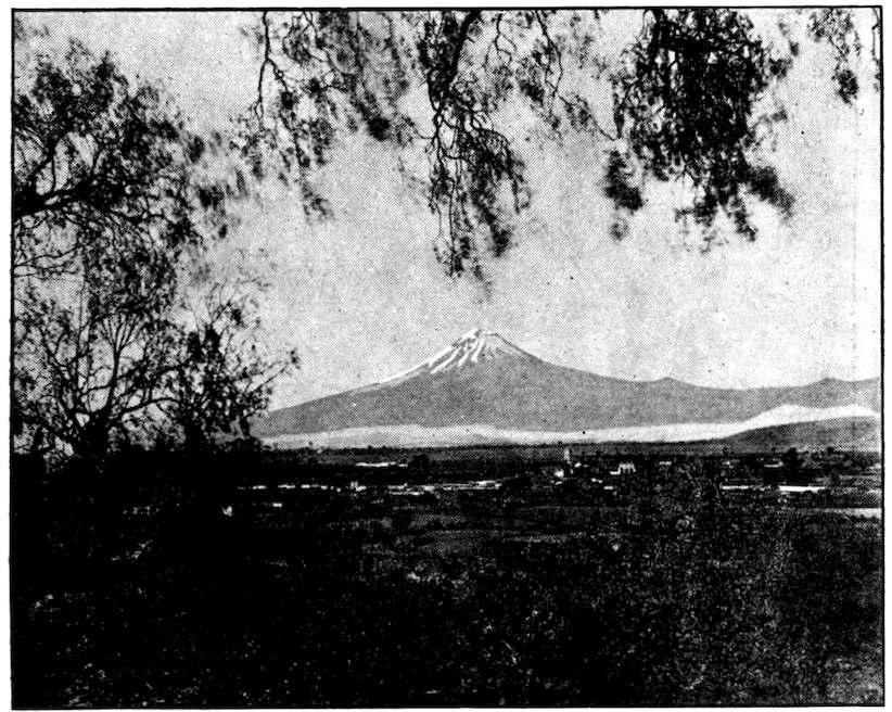
Courtesy Ward Line. Photo by American Photo Co., Havana
Mt. Popocatepetl, the most famous mountain in Mexico, as seen from the side of the Pyramid of Cholula. An ancient adobe mound is in the right foreground.
The springs which supply the lakes in the Valley of Mexico have their source in the snows of the two great volcanoes that lift their white heads into the sky above it. One of these mighty peaks, Popocatepetl (17,543 feet), is known the world over. Its name means “Smoke Mountain.” There have been a number of eruptions of this volcano since Cortés reached Mexico; the most recent was in 1802. The mountain still smokes, however, and some day it may again belch forth lava and ashes. Although it is one of the mountain wonders of the continent, being surpassed in 144height by only four mountains in North America, Popocatepetl belongs to a Mexican general and has often been offered for sale! Perhaps if he offered to deliver it wherever the purchaser wished, he could more easily sell it. “Popo” furnishes ice, sulphur, and great parks. The whole floor of its crater, which is a mile wide at the top and a thousand feet deep, is covered with pure sulphur. It throws this out at the rate of about a million tons a year; a hundred million tons of sulphur have been taken from its crater in the period since the Spaniards came. As the mountain produces more sulphur than the world can use, and the United States obtains an ample supply from Texas, and Louisiana, the general will probably have trouble in selling his mountain.
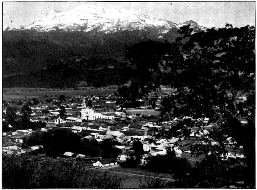
Courtesy “Picturesque America”
A wonderful view of Ixtaccihuatl, the “Sleeping White Woman,” as this famous volcano appears from Amecameca.
145Alongside Popocatepetl stands—or rather lies—Ixtaccihuatl, an extinct volcano almost as high and nearly as beautiful as the other. We say “lies” because the name means the “Sleeping White Woman.” The snowy mountain does actually look much like a woman lying with her head pillowed on one arm. A Mexican legend says that Popocatepetl was a god and Ixtaccihuatl a maiden with whom he fell in love. She was not faithful to him, however, so he turned her into a mountain. But “Old Popo” himself froze with grief, though he still shows his anger now and then by belching forth smoke and sulphur.
For the traveler there are few more beautiful sights in the world than these two great snow and glacier-capped volcanoes, as seen from anywhere in Mexico City. In the clear air of highland Mexico they seem 146almost near enough to touch. They stand forth from any point in the Valley of Mexico, and even from far beyond, though on the opposite side they do not resemble the mythical characters.
It is not very difficult to climb to the top of “Old Popo” or the “White Woman”—and it is very easy to come down again. The ascent takes about three days, fifty dollars, strong shoes, warm clothing, and good guides. A railroad carries us to Amecameca, a mile and a half above sea level and about forty miles from Mexico City. Horses may be used up to the first rest house. From there the climb is on foot, first in loose shifting black sand, then in snow and ice. On a clear day the view of the Valley of Mexico, with its great capital and its lake-dotted basin, is worth walking many a mile to see. In every direction lie those great hills that are the most striking feature of the Mexican plateau. For a time we struggle upward in the clouds, which move about as if they were living things. The wet snow grows harder; the glare of reflected sunshine hurts our eyes. At last we drop down exhausted at the mouth of “Popo’s” crater.
Its walls, we see as soon as we are rested enough to peep over, are of black obsidian, that flint-hard stone of which the Aztecs made arrowheads and knives. Far below are acres of yellow sulphur, and gases rise from the crevices in the crater floor. It is so very cold up here, more than three miles high, that we soon decide to go down again. Once we have made up our minds, that is easy. We sit down on a straw mat, with a guide who carries an iron-pointed staff as a rudder 147and brake, and away we go! It is the toboggan slide of a lifetime. Rocks and crevices must be dodged while coasting at a rate that carries us farther in a minute than we could climb in an hour. The sulphur is brought down in this same speedy way.
There are many other volcanoes in Mexico, the highest among them Orizaba (18,654 feet) which is the third highest mountain in North America. Most of the volcanoes seem to be extinct, but one can never be sure. Earthquakes are quite frequent.
Mexico has almost numberless churches. It has been called the land of domes, because most of the Mexican churches are built in a style of which the dome is a conspicuous feature. In olden days men who became rich, especially in the mines, erected churches as thank offerings. In some old towns there almost seems to be a church for each inhabitant!
Perhaps the most famous church in Mexico, and certainly the one considered most holy by the Mexican masses, is Guadalupe. It is three miles out of the capital. One can cover the distance by street car or automobile, or, better still, on foot. Thousands of pilgrims come to pray at this greatest shrine in Mexico, and often they have to camp in the streets of the holy village. Guadalupe is to the Mexicans what Benares is to the Hindus, Mecca to the Mohammedans, and Jerusalem to the Jews and Christians.
To reach the church we climb a stairway cut in solid rock. On the way we pass the stone-carved sails and 148mast of a vessel—a memorial erected more than two centuries ago by sailors who, having prayed to the Virgin of Guadalupe during a storm, had been saved. This is the most important of many similar thank offerings. Some grateful people send crude pictures, showing themselves being dragged out from under the wheels of a train or a truck, or they donate the crutches they no longer need after a miraculous cure. The church and its chapels are hung with rich offerings of draperies and banners given by the wealthy, and the life-size image of the Virgin glitters with jewels and precious stones. The chapels are crowded from morning until night, every day in the year. The Indians and peons of Mexico are very religious; they almost always raise their hats when they pass a church door. I have seen all the people of a town kneel, their hats laid on the cobblestone pavement before them, when a bishop went by. But the Indians cling so closely to tradition that even after four centuries many old pagan rites remain and form part of their Christian worship. A Catholic visitor would not recognize all the rites performed by the pilgrims at Guadalupe.
Whatever else they do, all drink the waters of a certain spring that flows down the sacred hill. It is a sulphur spring that boils and bubbles and has a very unpleasant odor. There are no individual cups; instead there are copper dippers, chained to a rail. It is a very rare pilgrim who does not carry home some of the holy water for his family and friends, or even to sell; and as most of the pilgrims are too poor to bring worthy receptacles, many of them use old bottles.
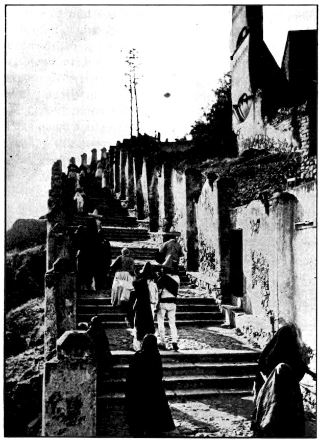
Keystone View Co., Inc.
Devout Mexicans climbing the stone stairs at Guadalupe. The famous stone sails mentioned in the text stand beside the stairs.
150According to a legend, the Virgin appeared to a poor Indian named Juan, and commanded him to build a church where she left a bunch of roses. The priests and the people accepted his story, and joined forces to erect a church that has become the pilgrim center of Mexico. In it may be seen candles of every size, burning before the altars at which pilgrims have prayed for some blessing. To reach the shrine many crawl on hands and knees all the way up the stone steps cut in the rock hill where Juan found the roses.
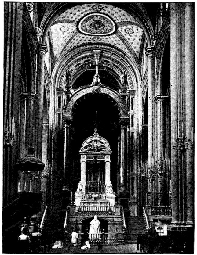
Underwood & Underwood
Interior of the famous Cathedral at Guadalupe. Around the altar is a silver railing.
The narrow-gauge railway that carried me away from Mexico City passed close under the walls of Guadalupe. I had hoped to go straight on down through the center of the country, on foot and perhaps sometimes on horseback. Then I might have visited the pleasant old city of Cuernavaca and the quaint little state capital of Oaxaca on the way to Tehuantepec.
Near Oaxaca, at Mitla, there are wonderful ruins of great buildings which the Zapotec Indians of ancient times probably used for religious and burial purposes. Mitla means “Place of the Dead.” I did not visit Mitla or its neighborhood because just then civil war and bandits made the region a bad one for the “gringo” who wished to get home again some day. Instead, I took the railway down to the Gulf coast, intending to go south on another line. After all, this would bring me to as many interesting and historic scenes as the other route.
Soon we came to the famous pyramids of Teotihuacán looming above the plain. No one knows just when or by whom these two great artificial hills were built, but it was before the Toltecs came. The larger pyramid had recently been cleared of the trees and bushes that had found root in the soil deposited by winds over 152a long period of years. Cement-colored, it rose in four terraces, with a low monument on the summit. Although it has as much material in it as the great pyramid of Cheops in Egypt, this Mexican pile does not look so imposing, because the proportions are different. It is much larger at the base and not nearly so high.
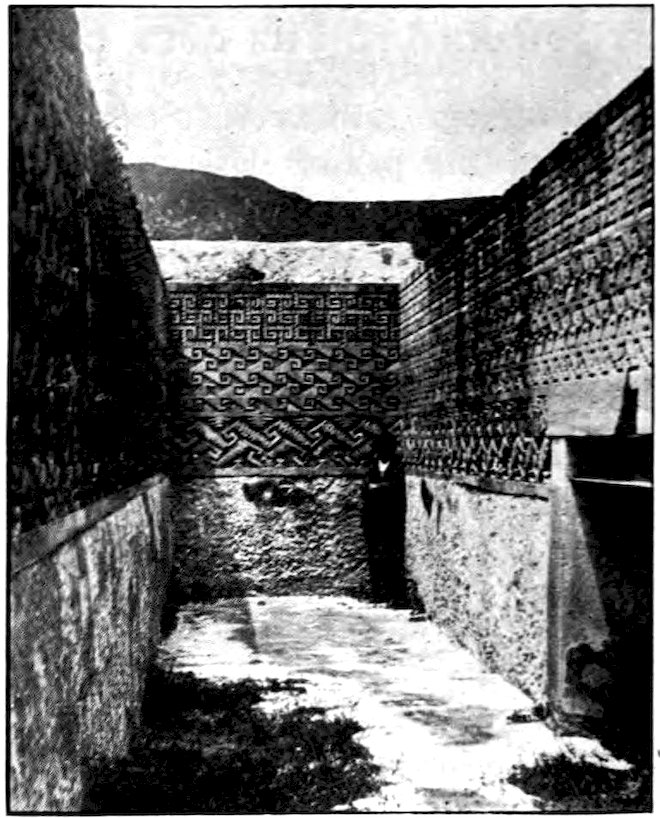
Underwood & Underwood
In the Hall of Mosaics at Mitla are marvelous relics of prehistoric builders.
The train made a mighty curve to the northward in finding its way out of the Valley of Mexico. I got off it in the famous little state of Tlaxcala. You remember 153that Cortés was helped in the conquest of Mexico by the Tlaxcalans, a tribe at enmity with the Aztecs. After his final victory the people of Tlaxcala were given certain special privileges because of their assistance. Their lords were baptized and required to swear allegiance to the king of Spain, but they were left in command of their domains. Even during viceroy days the Tlaxcalans were treated better than the other Indian tribes.
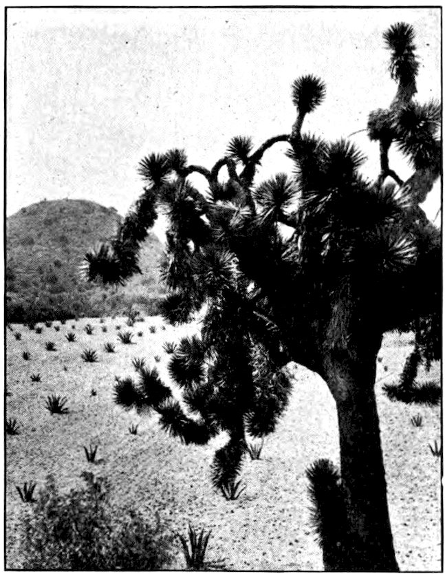
Underwood & Underwood
Pyramid of the Sun at San Juan Teotihuacán, seen across the maguey fields from the Pyramid of the Moon.
Underwood & Underwood
The low pyramids at San Juan Teotihuacán have given this region the name “the Egypt of America.”
Underwood & Underwood
Detail of the strange carving on one of the pyramids at San Juan Teotihuacán.
155Tlaxcala is the Rhode Island of Mexico, the tiniest of the twenty-eight states. Its name means “Land of Corn.” The fact that it is almost completely hedged in by mountains was both a hindrance and a help to Cortés in his conquest of Mexico. With the two great volcanoes of Popocatepetl and Ixtaccihuatl gazing down upon it, Tlaxcala is one of the most striking regions in Mexico. However, one might think it had been punished at last for joining the white invaders against the rest of the Indians. It is really rather miserable, by no means prosperous.
Although the capital of a state, Tlaxcala town has only about three thousand inhabitants. It is several miles from the railway, being connected with the station and the outer world by a few wretched mule cars. I decided it would be more fun to walk than to ride. Tlaxcala is several hundred feet higher than Mexico City, and it is cold and dreary and almost treeless. Its ancient church of San Francisco is said to be the oldest structure in North America built for Christian worship. Many of its stone buildings are mere ruins, where grass and flowers grow as they do among the cobblestones of the streets. Yet Tlaxcala has a complete state government, with all the customary officials and features of a capital.
Puebla, the next state capital on the way to the coast, is called the “City of the Angels.” There was no city at this place when the Spaniards came. A legend says that angels appeared to a priest in a dream and helped 156him lay out the city they said should be built there. But while it is cleaner and in some other ways better than most Mexican cities, Puebla did not look exactly angelic. It is a city of churches, many of them having domes decorated with the bright-colored tiles that are a Puebla specialty. Some have carvings, paintings, and other precious things that compare with the possessions of old European churches. Puebla is also an important manufacturing city, producing much flour, soap, glass, paper, and cheap pottery.
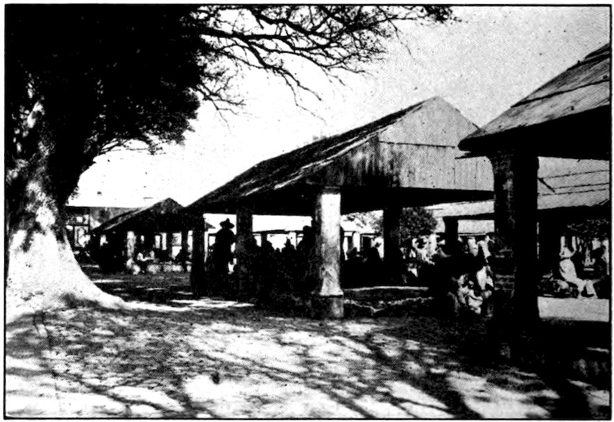
The marketplace of Tlaxcala has a dozen or more buildings to shelter the sellers. As the weather is never cold, walls are not needed.
Some of the old houses of Puebla have their fronts covered with tile mosaics of birds, animals, and saints. Such buildings are all low, so that a view across the city shows little besides flat roofs and church domes. Most of the outer walls are cream white, but some are 157tinted more gayly. Puebla resembles Tlaxcala in being even colder than Mexico City and in being watched over by “Popo” and the “White Woman.” Far away to the west stands Orizaba, highest peak in Mexico. There was music in the plaza that evening, but the air was so chilly that I soon hurried back to my hotel. Even there the only warm place was in bed. People in Puebla do not build fires for comfort, but merely heat up a little charcoal to cook with.
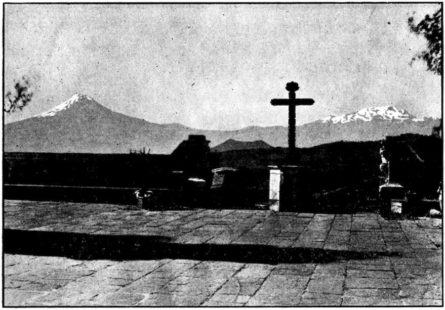
Courtesy Ward Line. Photo by American Photo Co., Havana
From the summit of the ancient pyramid at Cholula one obtains a splendid view of Popocatepetl and Ixtaccihuatl. The shrine dates from the year 666, when it was erected by Cortés after he had ordered the destruction of the Aztec temples in the vicinity. Cholula being the sacred city of the tribe, this action resulted in the natives’ troubling Cortés constantly and finally securing his downfall.
The next morning I was ready to get up at dawn, though I found it cold work. A three hours’ walk from the central plaza of Puebla warmed me and brought 158me to the top of one of the greatest pyramids in the world. This is at Cholula, eight miles from Puebla. It was built of sun-dried bricks, limestone, and clay, by some tribe that arrived before the Aztecs. When Cortés came, there was on top of it a great temple to the Aztec god Quetzalcoatl. The Spaniards pulled down the ancient images and overthrew the altar on which so many people had been sacrificed to the bloodthirsty god. Now there is at the summit a great church to which many pilgrims come. The ancient pyramid has crumbled a good deal and is so covered with grass, flowers, and trees that it looks almost like a natural hill. Through a great gash that has been made in it runs the street-car line to Puebla.
Though it is called the Mexican Railway, the line from Mexico City down to Vera Cruz belongs to the English. Descending from the great Mexican plateau, it zigzags back and forth, often on the brink of precipices. At one point we could look down upon the town of Maltrata, more than two thousand feet below, as directly as if we had been in an airplane. The train, behind a double-header engine, twisted about until it seemed as if it must be lost, but finally we reached our destination.
For the first time since my second day in Mexico I was less than a mile above sea level. High above all else, and much farther away than it seemed, was the symmetrical snow-capped top of Orizaba. This was first climbed by American officers during our war with 159Mexico. The cold peak looked still stranger from the town of Orizaba where I spent the night. Orizaba has one of the largest cotton mills in the world, and a big brewery; but although it is really an industrious place, it is just near enough the tropics to be rather sleepy and careless in its manner.
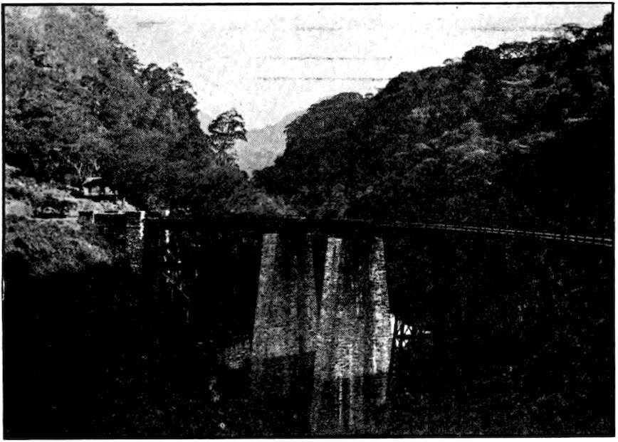
Photo by Hugo Brehme, Mexico City
Along the Mexican Railway, the oldest railroad in Mexico, leading from the high plateau of the capital down to Vera Cruz.
It took eighteen miles of winding and tunneling to get down from Orizaba to Córdoba, almost directly below. The train skirted yawning precipices, passed through dense vegetation, banana plants without number, coffee plantations, and uncultivated jungle. It seemed very hot after being on Mexico’s plateau, though we were still higher than the tops of our Alleghanies.
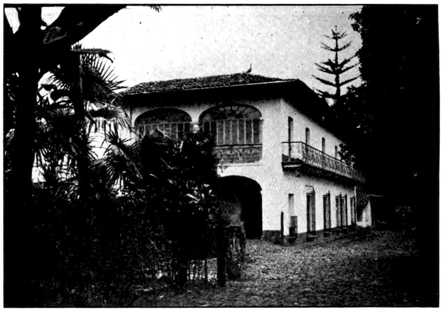
Photo from Janet M. Cummings
A fine hacienda house on a coffee plantation near Córdoba, Mexico.
Tropical Vera Cruz, where the Mexican Railway finally ends at sea level, is the greatest port of Mexico. Ever since the days of Cortés it has been the country’s front door. In a sense, entrance by railroad from the United States is by the back door. Most travelers to and from Mexico, and most imports and exports, except oil from Tampico, go through Vera Cruz. Cortés, landing there on Good Friday, which the Spanish call “The Day of the True Cross,” gave the place that name. A hundred years before the Pilgrims landed on Plymouth Rock, Cortés claimed all Mexico in the name of the king of Spain. He built a fortress which still covers a small island a mile from shore and bears the marks of many a battle. Ever since Cortés traveled 161the road from the coast to Tenochtitlan, Vera Cruz has been both a door to power and a way of escape for the defeated. It is the favorite place for beginning revolutions against the government in power at Mexico City. The American General Scott took Vera Cruz before he started on his way to capture the capital.
Vera Cruz is one of the most Spanish cities in Mexico. There used to be much yellow fever there, and travelers hurried through it as fast as possible. But now it is fairly healthful, though very hot. The wharves have every modern docking facility.
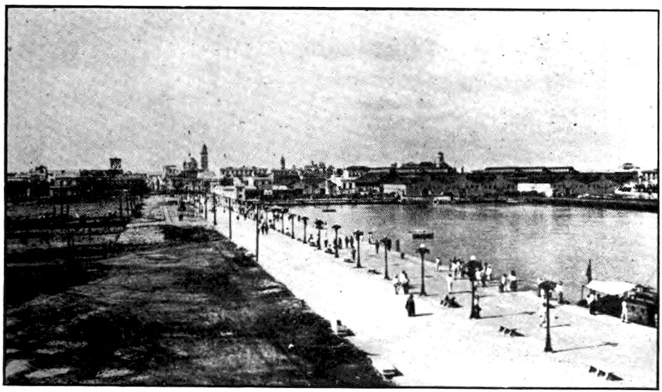
Underwood & Underwood
The harbor of Vera Cruz is a busy one. This city has had an important part in the history of Mexico because it is one of the country’s few fine ports.
Some distance up the coast is another important city, Tampico, more important perhaps to Americans than to the Mexicans. Most of the oil from Tampico is finally used in American automobiles, and many of the oil wells belong to Americans. Tampico and the great oil fields about it are so American that the Mexicans 162themselves often call the region “Gringolandia.” Being close to the coast, the oil fields cannot legally continue to be held by foreigners, according to the 1917 constitution. The matter is under discussion by the Mexican and United States governments. Although it is an important city to those who think in terms of oil, Tampico is not as interesting or as pleasant a place as most Mexican cities.
© Burton Holmes, from Keystone View Co.
The oil wells at Tampico sometimes catch fire and send a great cloud of smoke high into the air.
Returning to Córdoba, I was taken by a Mexican railroad down to the Isthmus of Tehuantepec. The train was a kind of way-freight. All day we rambled along through tropical vegetation so dense that gangs of men had to labor constantly to keep it from covering the track. Oranges were so plentiful that they were left to rot on the trees. Pineapples were sold through the train windows at two cents each. Beautiful palm trees of many striking and always symmetrical shapes stood forth from the jungle.
But it was not all jungle. After the mountains died down to mere hills, came broad meadows dotted with cattle, the herdsmen on horseback. There were prairies almost like our own, and fertile bottomlands. At several of the stations, I saw white men of much larger build than the tropical Mexicans. The older of these men had long beards. The younger ones, who made me think of American farmer boys, caught the cars for short rides. Later I learned that they were Mormons, a number of whom went to live in Mexico years ago.
Photo by Hugo Brehme, Mexico City
Down near Orizaba, Mexico’s splendid tropical vegetation begins.
Long after dark we reached Santa Lucrecia. Although it is important as the junction of two railways, it is only a straggling village of sheet-iron and thatch—a station and a few huts amid banana groves. The houses are perched on piles as a protection against dangerous animals and high water. Here, in this narrowest part of Mexico, the great chain of mountains stretching from Alaska to southern Chile becomes so low that Santa Lucrecia is less than a hundred 165feet above sea level. I found the air damp and depressing, the night hot and heavy. The moon seemed to be trying to throw off the clouds that were smothering it. The inhabitants usually sleep on their porches, in hammocks, but travelers are not so lucky. I spent a bad night in the Mexican hotel for which a place had been hacked out of the jungle. Thin wooden partitions between the rooms reached only halfway to the roof, so that I could hear every sound made by the other guests; and it was too hot to sleep much beneath my big mosquito-net canopy.
Houses on the tropical Isthmus of Tehuantepec. The canoes are big jungle trees burned and carved out into craft that slip easily through the water.
Here and there on the way westward across the isthmus were open-work houses, almost like woven baskets. 166But much of the time the railroad was the only evidence that anyone had been through the jungle before us. The telegraph poles were old rails, set upright; wooden poles rot or are eaten by ants. Now and then we saw a man toiling along behind a crude wooden plow, the yoke fastened to the oxen’s horns in the Spanish fashion. In some of the cornfields, instead of scarecrows were wooden crosses set up to frighten away “devils.” Palms and immense trees of other kinds, with masses of smaller trees and bushes between, made me feel as if we were surrounded by an endless green curtain.
In Tehuantepec the houses are very flimsy, often with walls of reeds. Do you see the earthenware water jar, placed in the shade and breeze so that the water will keep cool? Shelves and cubbyholes have been dug in the earth bank that fences in the yard on one side.
167The Indians of the hot lands were different from those of the plateau. They appeared to be much more contented, more serene and happy. Fewer clothes, fewer troubles! It took very little effort to build their crude houses, and anyone who did not want to work could almost pick all his food in the jungle.
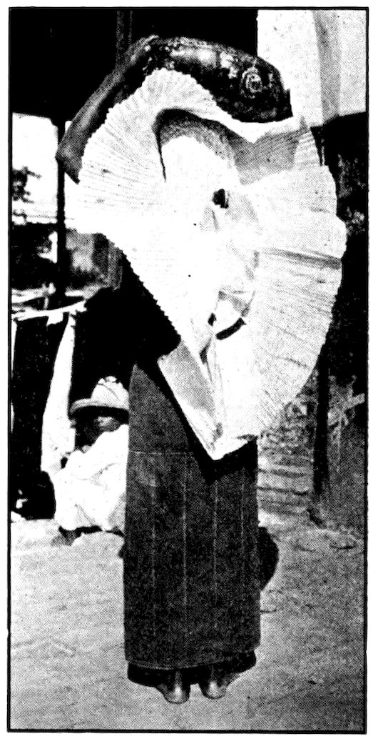
A Tehuantepec woman wearing her huipil or white starched headdress. The big bowl she carries is made of a gourd decorated with carved or painted flowers and figures.
In the crowded thirdclass coach were some of the far-famed women of Tehuantepec. They are spoken of as very handsome, though American taste might prefer a different type. They are of splendid physique, dignified yet not haughty, and have a charming smile. They wore a gay square of cloth wrapped about the waist, and a sleeveless upper garment. Almost all of them had a few red flowers in their jet-black hair, and many wore necklaces of American five-dollar gold pieces.
These women are not so simply dressed when they have on their national headdress, the huipil. This is 168a white contrivance of lace and ruffles, starched stiff, which hangs down the back like the war bonnet of a Comanche chief. In this regalia a woman of Tehuantepec looks very gay indeed as she stalks along, barefooted, balancing on her head a big bowl decorated with painted flowers.
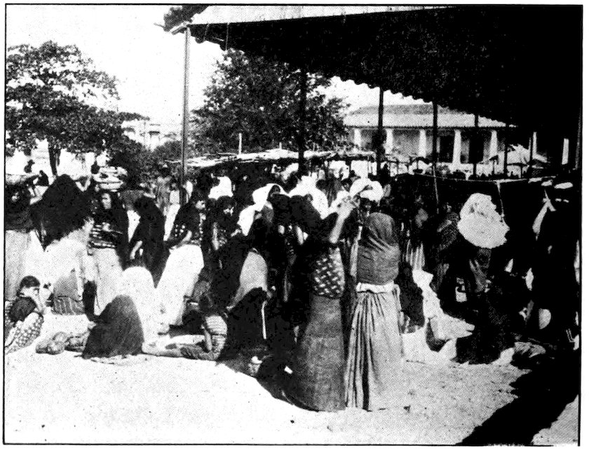
In the market of Tehuantepec town. The women, who wear a very queer costume, carry on business with little help from the men.
The town of Tehuantepec, which is the largest town on the isthmus, is merely a big Indian village. Some of its streets are cobbled, but most are very sandy. Through a wide fertile valley runs a shallow river in which there is much bathing. The natives all 169know one another and one another’s business, which seems to be mostly the selling of tropical products among themselves. Tehuantepec has a very large and lively market. So many of the buyers and sellers are women that one traveler said he felt like a musical comedy star surrounded by the chorus. For a long time, after most of the men of the isthmus were killed in local warfare, there were five women to one man. The women learned to do everything for themselves and became very independent. They are still “head of the house” in their homes.
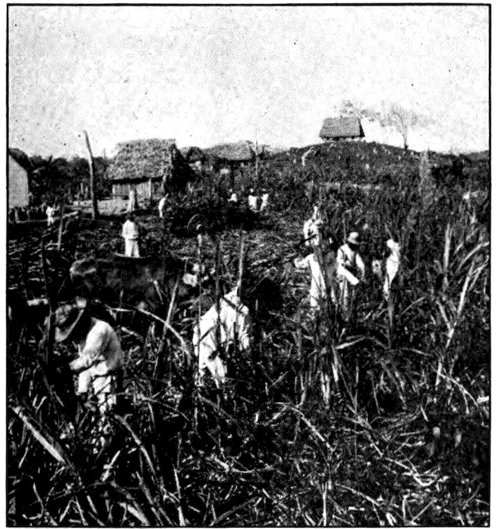
Underwood & Underwood
Cutting and carting sugar cane on the Isthmus of Tehuantepec.
A big fiesta or celebration was held in Tehuantepec the night I was there. A band played and fireworks 170were set off. One piece represented a huge duck, another a mammoth turkey, and two others a man and a woman of gigantic size. Each piece was worn over the head and shoulders of a man who capered about while it blazed away above him until nothing but the wooden framework was left. Fireworks of one kind or another provided light and noise during most of the night, and left me little chance for sleep.
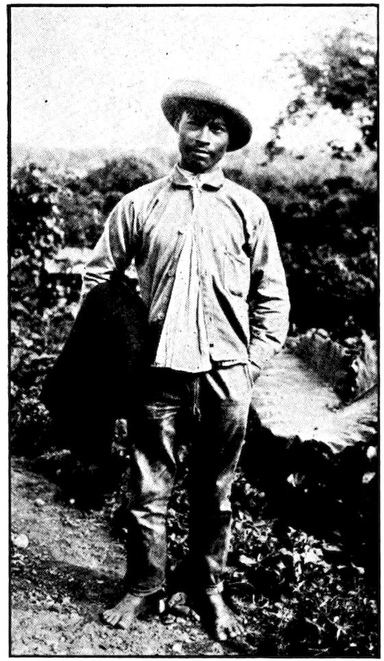
Up on the cool table-land the peons wear huge hats, but down where the sun is hot and tropical the hats, queerly enough, are quite small!
But there were other sounds too. I had hardly dozed off when, directly under my ground-floor window, men and women began singing, accompanied by a sort of banjo. They sang the same mournful two lines over and over again. Sometimes there was laughter, too, and the sound of good-natured disputes. At midnight I looked out and saw about fifty people sitting on the ground with their backs to the wall, all smoking and drinking. A dozen times I drifted into 171troubled sleep, only to be wakened again. About three o’clock the noise stopped; but just as I drew a long sigh of relief the fiesta band burst out right beside my window! The terrible racket lasted until daylight, when I got up to catch my train.
No, Tehuantepec had not been serenading me! When Juan, the little brown waiter, brought my breakfast, I asked him what all the noise meant.
“Oh,” he answered, “yesterday the man next door died, and those were his friends celebrating the wake.”
“And keeping all the rest of us awake,” I answered, so sleepy that I did not realize how much my words sounded like a pun.
“Ah, yes, señor,” replied Juan, “it is very sad. But what can we do? People will die, you know.”
I walked over to the town of San Jerónimo to reach a railroad that calls itself, without very good reason, the “Pan American.” There was one passenger car, divided into two classes, at the end of a very slow freight. In a long day of traveling we covered 112 miles. Sometimes the walls of vegetation were so close as to scratch the sides of the car. Gay-plumaged parrots and cockatoos screamed at us from bamboo thickets. But most of the way the country was dry and sun-baked, cactus and mesquite the only growing things. Down here where the huge sombreros of the Mexican highlands would seem to be so much more necessary, the people had narrow-brimmed straw hats that made me think of a circus clown’s comic hat.
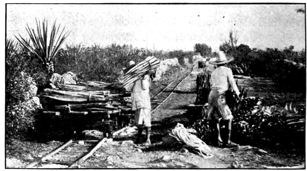
International Harvester Co.
Sisal leaves being loaded on a flat car.
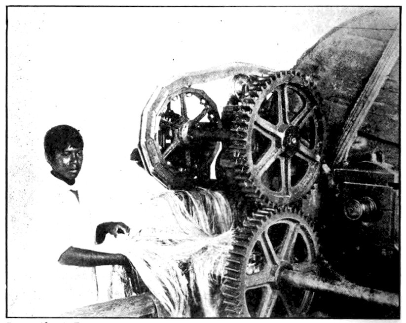
International Harvester Co.
Sisal fibre as it looks when it comes from the machine called the decorticator.
173After a night spent in a hot and sandy little town, the same train carried us off again at dawn, and for another tropical day we dragged along southward, so close to the west coast that once we caught a glimpse of the Pacific. In the evening we crawled into Mariscal on the Mexico-Guatemala border.
Northeast of this route to Guatemala lie four big states of Mexico and one of its two territories, jutting far out into the Gulf of Mexico in the peninsula of Yucatan. This is a hot, fertile country, producing important Mexican products. Its henequen or hemp gives the world rope and twine; its cacao bushes furnish us much of our chocolate and cocoa. The capitals of Campeche and Mérida are interesting towns, quite up to date in some ways. At the base of the peninsula is the state of Tabasco with its capital of San Juan Bautista (“St. John the Baptist”).
On the peninsula of Yucatan are to be found remains of the Mayan civilization. Centuries ago (no one knows exactly when) the Maya Indians came to this part of the world, spreading all the way from Yucatan to Salvador. They had a calendar that was more exact than that of the Aztecs, more exact even than ours is, and they seem to have been the most highly developed people on the North American continent before the white men came. Carved stone ruins and picture-writing on paper made of cactus fibers were found by men searching for chicle, the pitch-like substance from which chewing gum is made.
My entrance into Central America was rather amusing. I had fallen in with two other Americans, and after a night spent at Mariscal on the border, we started to walk across a wooden bridge into Guatemala. The rails of the “Pan American” line ran across it—but the trains did not! We had scarcely set foot on the bridge when we heard a great shrieking across the river. Three very ragged Guatemalan soldiers, barefooted and wearing calico uniforms and straw hats, had run out of a palm-leaf hut and were waving three weapons. One was a very aged musket, another a rusty bayonet, and the third a piece of wire that looked like a ramrod. These “three musketeers” had one whole gun among them, though probably no cartridges.
“Don’t cross the bridge!” they yelled. “No one is allowed to cross the bridge!”
“Why not?” we shouted back. “We are not very heavy!”
“You must come across in a boat!” they ordered. “The Pope himself cannot cross that bridge; Guatemala does not wish it!”
The central plaza of a Guatemalan village—just bare ground with palm trees here and there.
By this time they themselves had nearly crossed it in running toward us. As we turned back to find a boat, the guard sought again the shelter of their palm-leaf hut. A very ancient and leaky rowboat soon carried us across to the southern bank of the shallow Suchiate River. A dozen childish-looking shabby soldiers surrounded us and led us to the comandancia. There an officer whose dignity and uniform were worthy of a general got out a big ledger and wrote down in it answers to all sorts of questions. Name, birthplace, business, religion, reason for coming to Guatemala, and a great many other points that seemed even less important, interested him. At that time Guatemala had a stern dictator, Estrada Cabrera, who required his officials to keep close track of all foreigners 176entering the country. Since then political conditions in Guatemala have become much more stable.
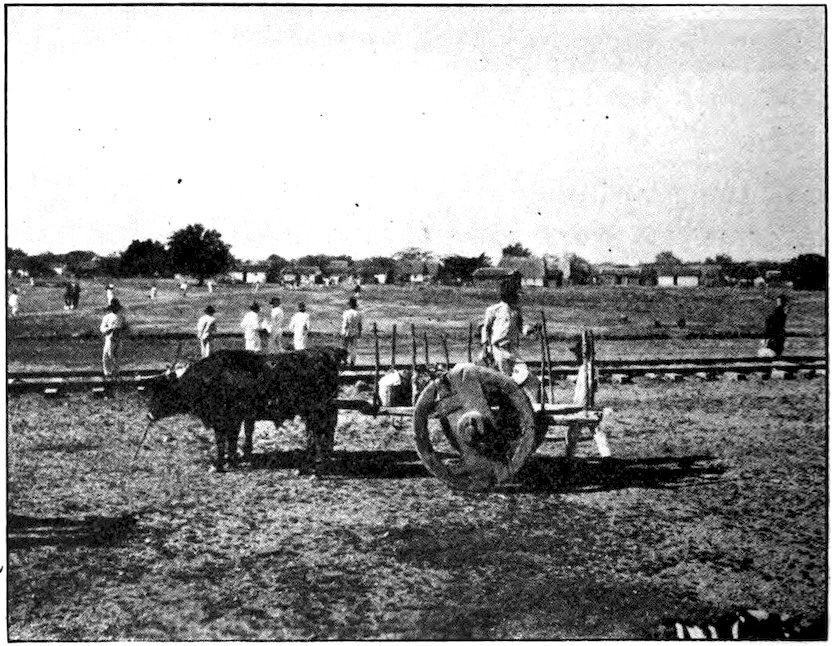
Down in Central America there is usually no better transportation than crude two-wheeled oxcarts. Spanish-speaking people always fasten the yoke to the top of the oxen’s horns.
The little baggage we carried having been carefully examined, we swung it over our shoulders and set out to walk to a railroad station nearly fifty miles away. There was a little narrow-gauge railway from the sandy jungle town of Ayutla, just beyond where we landed, but no train would run on it that day. The sun was blazing hot, and when we were not ankle-deep in sand we were wading rivers or pushing through tunnel-like openings in the dense jungle. My companions fell behind but I went on and at night I reached Coatepeque, where I found a hotel run by an American. 177The place was hardly up to the level of, let us say, the Waldorf-Astoria, yet my bill for lodging and breakfast was fifteen dollars—or, to use the Spanish term, fifteen pesos.
However, do not let this keep you away from Guatemala. One can often get sixty Guatemalan dollars for one American dollar. The two Americans who crossed the border with me had only three American dollars with them then, yet next morning when they arrived at Coatepeque they had more than a hundred dollars left! Meanwhile they had paid five dollars to ride all night in a two-wheeled bullock cart that made them feel as if they had been through a threshing machine.
The owners of big estates often send a peon a hundred miles or more to some town where there is a bank, to get the money for paying off workmen. The peon, carrying a grain sack full of the ragged, dirty paper money, walks back all the way alone. At night he tosses the sack into a corner of the hut where he is to sleep, and no one ever seems to think of robbing him.
Guatemala is a land of volcanoes, some of them still active. All over the country great sharp-pointed peaks, cinder-colored, reach into the sky. In a way the volcanoes of Central America are a blessing, for if their eruptions sometimes bring along an earthquake and shake down a city, the lava dust makes the soil very rich, and a few good coffee crops usually pay for all the damage.
178The two principal products of Central America, at least so far as concerns the rest of the world, are coffee and bananas. Some of the largest coffee plantations in Guatemala are along the road we followed after leaving Coatepeque. Coffee bushes, about as high as a man’s head and so compact that they look almost like little green haystacks, grow best at about two thousand feet above sea level in tropical countries. The coast lands are too hot and moist for coffee, and highlands like the Mexican plateau are too cold and dry. Plantations, made up of long parallel rows of bushes, may be found in most of the foothills of Central America, and because coffee requires some protection from the blazing tropical sun it is planted in the shade of banana groves or thin forests.
Coffee bushes are covered with bright red berries. Inside the red skin of each berry we find two white beans, each having a flat and a rounded side. The flat sides face each other. Indian women and girls pick the berries, putting them into baskets and then into sacks, which men carry to the center of the estate. There, among the buildings where the owner or manager and nearly all the plantation people live, the sacks are emptied upon outdoor floors. The berries are shoveled over and over in the hot sunshine and old women hull them in the shade of their huts. When the separated berries are well dried they are ready for market but they must be roasted and ground before they are in a form to use for making the coffee we drink.
Many of the plantations belong to Germans, and most of the others to rich Guatemalans, who perhaps 179live in Paris or New York and never see their estates. The Indians who do the work, picking or shoveling or carrying coffee from daylight until dark, with only an hour or two off for food and perhaps a short nap, are paid less than ten cents a day in our money, though they receive a monthly allowance of fifty pounds of corn and beans and half a pound of salt.
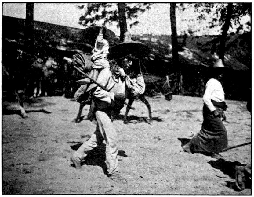
An Indian boy of Guatemala carrying his small brother on top of a heavy load he is taking to market.
We met thousands of Indian carriers. Most of the trails of Guatemala are so poor that the best way to carry goods over them is on men’s backs. Our road being a little better, we met some oxcarts. The yokes 180were so tightly strapped to their horns that the oxen could not even shake off the flies. There were donkeys under huge packs, men riding mules, even an occasional automobile where the road was especially good. But the procession of Indians loaded with freight was almost continuous—not only strong young men, but old men, boys, women and even little girls who early learn to carry big earthenware jars of water. In the evening we passed groups of these carriers squatting around little fires cooking their suppers.
The Indians of Guatemala are short but very sturdy. There are so many of them that Guatemala might almost be called an Indian republic. Clothed in their ancient costumes, homespun and colored with crude dyes, they look picturesque and very interesting at first sight. On closer view they appear rather stupid. Perhaps that is not their fault. They have been much abused ever since Alvarado, a cruel lieutenant of Cortés, conquered Guatemala four hundred years ago. Even now they are forced to accept a job from anyone who will pay them low wages, though no one can require them to carry more than a hundred pounds or go more than two days’ walk away from home.
Only one-third of the people of Guatemala claim to have any European ancestors. Six out of ten persons are pure Indian, and eighteen or twenty different tribes are said to be represented among them. Many are probably descendants of the Toltecs who, between the seventh and twelfth centuries, were driven out of Mexico by the Aztecs. Many more are Mayas, of the tribe that left splendid ruins in Yucatan, Guatemala, 181Salvador and Honduras. Is it not sad to think that these people now are unable to build anything better than a thatched adobe hut unless someone tells them how?
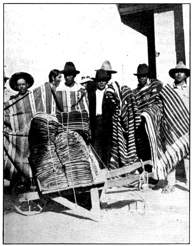
Panama Mail Steamship Co., San Francisco
These blanket venders of Guatemala offer a fine study in the more intelligent type of Indian found in that part of Central America.
182One very dark-skinned tribe, who worry little about clothes, build their homes in palm trees, on platforms thirty feet above the ground. Since such platforms can be reached only by climbing the notched tree trunks that serve as ladders, the children learn to walk up and down tree trunks almost before they learn to walk on the ground. The natives’ large toes are very much overdeveloped by constant climbing. Members of this tribe use bows and arrows.
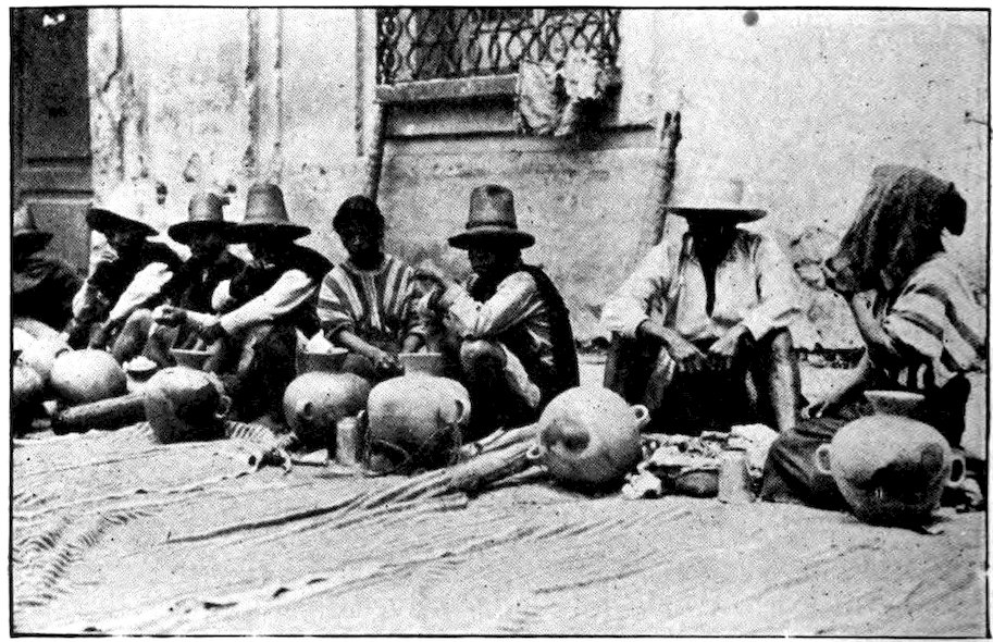
Panama Mail Steamship Co., San Francisco
A picturesque group of Guatemalan pottery venders.
Most of the Guatemala Indians are very docile, obeying even a white child. They are small in stature, the men averaging hardly five feet in height, and the women being even shorter. However, an American 183who could carry for an hour on a good level road what these Indians can carry all day, and day after day, over steep and difficult mountain trails, would be considered a wonderful athlete. Carrying heavy loads gives them very erect soldierly bodies, but often their complexions are bad because they eat a yellow earth mixed with sulphur, which they think will cure disease. Some of the men have thin beards, in contrast to the naturally smooth faces common among American Indians.
Queer clothes in bright colors are so much liked that a group of Guatemalans resemble an opera chorus. The women wear no hats, but have three garments—a loose waist, a thick cloth skirt, and a gaudy sash. They wear as much jewelry as they can get, especially necklaces of silver coins. They are very expert at such handicrafts as weaving cloth for garments and making ropes and hammocks of maguey fiber or cactus hemp.
We had hoped to reach Retalhuleu by the end of our second day of walking and to take a train for Guatemala City at six the next morning. But the trail was so bad that we finally stopped at a little thatched village, ate a supper of native bread, cheese and coffee, and stretched out for a few hours’ sleep. I got up again at two in the morning and for six miles stumbled along the trail through the darkness. Bands of dogs dashed out at me from every hut, barking savagely; fortunately their bark was worse than their bite. By trotting the last few miles, I just caught my train.
184It is barely a hundred and thirty miles from Retalhuleu to the capital, but the train took twelve hours for the journey. We made a large number of stops. Many of the passengers were yellow and listless with fever, and did not seem to enjoy life much in this land of perpetual summer.
Panama Mail Steamship Co., San Francisco
Mount Agua, Guatemala, one of the volcanoes which has caused so much trouble near the country’s capital.
About noon, at Escuintla, our train turned eastward and began climbing from the coffee-growing Pacific slope to the pine-tree heights of central Guatemala. 185We spent an hour winding along the shores of beautiful blue Lake Amatitlán, then crossed part of it on a stone causeway. There are several such gem-like lakes of sparkling blue water in settings of towering mountains. On the larger ones are steamers, as well as the Indians’ dugout canoes. Most of the steamers—like the hotels and the sugar, cacao, and coffee plantations of Guatemala—are owned by Germans.
We passed close to two cone-shaped volcanoes that can be seen from almost any part of the country. It was getting dark when the first houses of Guatemala City began to appear among the trees, and half an hour later we dragged into the station. A barefooted policeman in a straw hat had already gone through the train writing down facts about the passengers, so we were free to make our way through a shouting mob and try to find supper and lodging.
There have been three capitals of Guatemala. Ciudad Vieja (“Old City”), now a poor village with about three thousand Indian inhabitants, was founded by Pedro de Alvarado soon after he took possession of the country. He brought the best architects and workmen from Spain and planned to make this the metropolis of the New World. For a time it was the most magnificent city in the western hemisphere. But in 1541 it was suddenly destroyed by a flood when the lake in the crater of the volcano Agua (“Water”) broke through its banks.
The people then moved their capital two miles northeast and built another fine city. Long before any white men came to live in what is now the United States, the Guatemalan capital had tens of thousands of inhabitants. There were palaces and cathedrals there when we had only log cabins. Would you have imagined that in the heart of Central America a great city existed at the time the Dutch bargained with the Indians for the purchase of Manhattan Island?
The Spaniards had chosen a beautiful site, but nature again violently protested. This time the great volcano Fuego (“Fire”), quite as properly named as its destructive companion Agua, belched forth a flood of 187hot lava and destroyed the second capital. This city, now called Guatemala la Antigua (“the Ancient”), is famous for its ruins of great churches and palaces, but it has a population of only about seven thousand, mainly poor Indians. The volcanoes seem to be never satisfied, for the old capital has been devastated again and again by other eruptions, as well as by earthquakes, floods, and avalanches. It has also been visited by terrible epidemics of disease.
In the same year that our Declaration of Independence was written, our Central American neighbors built Guatemala la Nueva (“the New”), or Santiago de los Caballeros de Guatemala. This city they located twenty miles from the second capital; but though it remains the capital, it also has been very badly treated. Some superstitious persons think that evil spirits live inside the earth and cause volcanoes and earthquakes. One might readily imagine that such spirits wanted to drive everyone away from that beautiful region about the foot of Agua and Fuego. Is it not queer that people insist on living again in places where they have been overtaken by disaster?
The present capital was to have been a copy of the old ones, but it has never equaled, in magnificence or population, Guatemala la Antigua. However, it has about 120,000 inhabitants and is the most important city of Central America. It stands on a small plain about 4,900 feet above sea level and seventy-two miles from San José, its port on the Pacific. Wool, cotton, leather goods and earthenware are manufactured, and there is quite an important commerce.
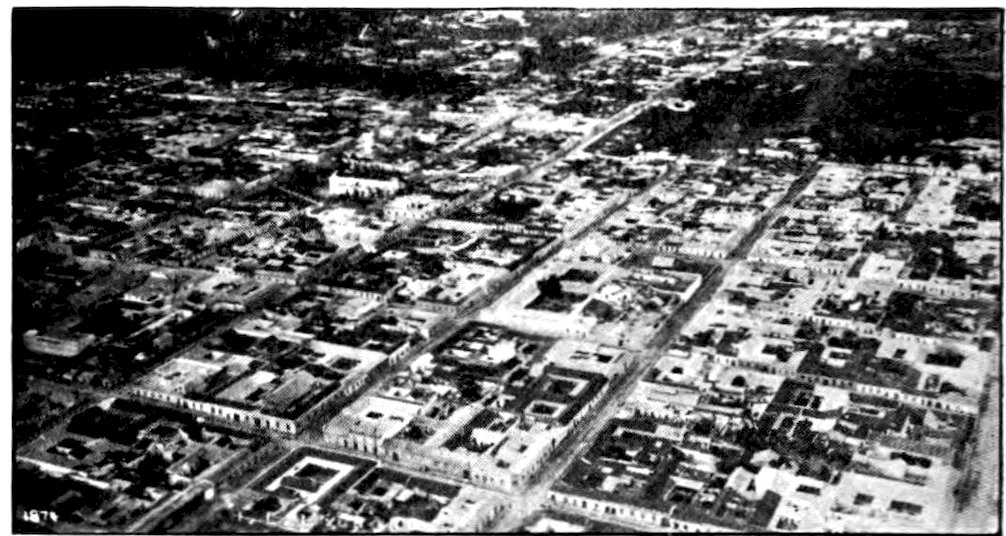
United Fruit Company
A bird’s-eye view of Guatemala City. What a contrast this flat-roofed town is to one of our skyscraper cities!
Guatemala City is laid out in a checkerboard of wide but poorly paved streets. Most of its buildings are very low, because of the constant danger of earthquakes. The houses are covered with stucco, gaily painted. The main entrance door of a dwelling is often so large that a smaller door is cut in it for common use. The big door is opened only to admit the owner’s carriage or automobile, which goes through to the stable or garage at the back or side of the patio. Brass and iron knockers, beautifully wrought in the form of a human head or hand, take the place of bells at many of the best houses, and the great doors themselves are studded with iron or brass nails.
The shops which so often occupy the lower floor of a residence, instead of being in “business blocks,” have no glass windows, but only a big wide-open door. Goods are poorly displayed, and in most places prices are not fixed, so that one must do much bargaining 189before buying. In the public markets we see Indians who have walked many miles with merchandise on which they will make but a few cents’ profit. Indian women, in gaudy homespun garments, smoke big black cigars. Their heads are covered with masses of blue-black hair, and their skin shines like polished copper. The market, filled with the products of both tropical and temperate climates, gives one some idea of the richness of the country.
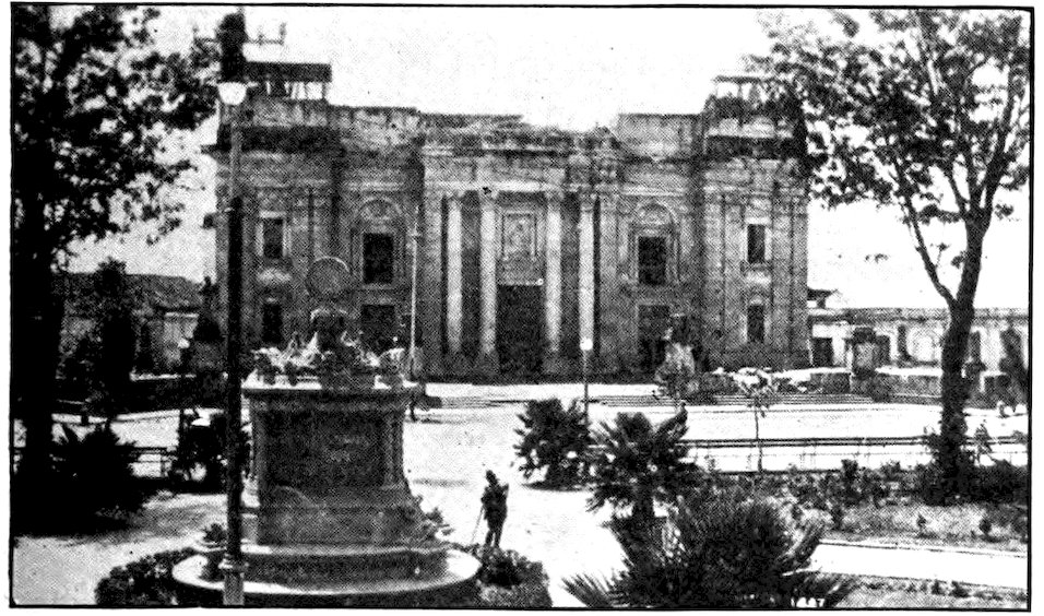
United Fruit Company
The Cathedral in Guatemala City, damaged by the earthquake in 1917.
Even this third and present capital of Guatemala has been several times destroyed. Indeed, it has been completely laid waste once since I first saw it. For a month following Christmas Day, 1917, it was shaken by a long series of earthquakes. Government buildings, schools, and hospitals were destroyed or damaged, as were the National Institute, with its laboratories, the museum, the meteorological observatory, 190the national theater, the metropolitan cathedral and other churches. Many of the buildings have been restored, but they have lost their old beauty as examples of Spanish art. The residence section has moved farther out into the country.
So far as I know, Guatemala is the only country in the world of which one can see every nook and cranny by merely going to its capital. How? By means of a great relief map covering several acres, laid out inside the Guatemala City race track. It is made of cement, plaster and stone. There is a high platform on which one may walk clear around the map, studying it in detail. Turning a crank causes water to flow through the rivers, fill the lakes, and form the Atlantic and Pacific oceans.
Although I intended to see the rest of the real Guatemala, the map showed me all of its physical characteristics. Every mountain, every lake, river, valley, city, even the trail I intended to take out of the country, was there. If I had flown 230 miles across the country, between the two seacoasts, and from the Mexican border to Honduras and Salvador, I could not have learned more about the make-up of Guatemala than I did in my half-hour stroll around the relief map.
I could see that Guatemala is all mountains and high valleys, except for two strips of lowland along the coasts. Its highland scenery entitles it to be called the Switzerland of Central America. However, Switzerland is often snow-covered, while Guatemala, wherever 191vegetation can grow, is green all the year round. Among its mountains are twenty-eight volcanoes, some of them as perfect cones as Fujiyama in Japan. As most of these are still active, and many of them throw out lava and ashes frequently, part of the country is very bare. On the big relief map I could see the volcano that blew its head off in 1902, ruining the city of Quezaltenango and covering valuable coffee lands several feet deep with volcanic ash. I could locate all of Guatemala’s beautiful blue lakes. Over there, nearest the Pacific, is Lake Atitlán, filling the crater of an extinct volcano five thousand feet high, and almost in the shadow of three very active cones. This lake is twenty-five miles long, with eighteen green islands in it; and it is so deep that its bottom has never been found. Eighteen miles from the capital is Lake Amatitlán; along its shore and across part of it runs the railroad from the Pacific coast.
Inside the race track at Guatemala City is a big relief map of the entire country. Every mountain peak, every stream, every trail is shown. Water can be turned on to fill the rivers and lakes.
Although I obtained from the big relief map at Guatemala City a clear idea of the lay of the land in the most important country of Central America, the map, of course, did not show me the people and their ways, and I was chiefly interested in these. So I took the train again a few days later, this time toward the east. After crossing a range of mountains, we started down toward the coast beside a racing river. Rather than go on to Puerto Barríos, the chief port of Guatemala on the Atlantic, I left the train sixty miles inland in order to visit one of the former centers of Mayan civilization.
Great civilizations almost always spring up in valleys, and here in the valley of the Motagua River the most advanced Indians in North America had their home. The Mayas flourished for some fifteen hundred years, beginning about the time of Christ. Quiriguá, the ruins of which I had stopped to visit, was probably built in the fifth century and abandoned more than a thousand years ago. No one knows why the Mayas left this part of the country and moved northward into Yucatan. Earthquakes, pestilence, human enemies, or even superstition may have driven them out. Or they may simply have decided to move, though most 193people would not have abandoned, without good reason, such splendid stone cities as they left behind.
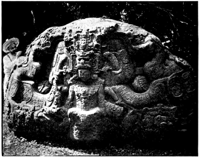
United Fruit Company
At Quiriguá, Guatemala, is this strange example of the carving left by the Mayas.
The ruins of Quiriguá, lost for centuries, were discovered in 1839 by John Lloyd Stephens, an American. Later, when Americans built the railway through Guatemala, great mounds and mammoth stone ruins were found. But the largest uncovering of ruins was done by the United Fruit Company in 1910. Where the Mayas once had a great city, there is now a 13,000-acre banana plantation. However, the company has left seventy-five acres, on which are the best ruins, free from planting. Fifteen of these acres have been cleared of jungle, but one who wishes to visit all the ruins must chop his way through dense tropical vegetation.
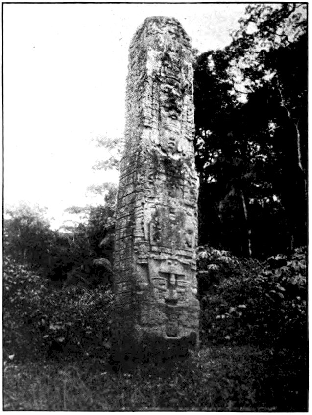
United Fruit Company
A great stone left by the Mayas at Quiriguá.
Ants and decay have destroyed all the woodwork in the ancient Mayan cities, not only at Quiriguá but at Cobán, at Copán in Honduras, and in many parts of Salvador and Yucatan. The stonework remains, and recent American expeditions have uncovered statues and curiously carved stones, some of them enormous, and whole buildings that must have been very splendid when new. Some of the carved stones you may see in American museums. Half above and half below the ground are great monuments, resembling those of Egypt, and bearing hieroglyphics that the archeologists 195are still trying to read. Some of the stone-carved faces look so much like the figures at Chinese imperial tombs that many people think the Mayas were Tartars who made their way from Asia across Bering Strait and down into Central America.
Like the Chinese, these Central Americans seem to have considered the turtle sacred, and to have used it as an emblem of long life. One of the largest monuments I saw at Quiriguá was a turtle eight feet high and said to weigh twenty tons. It was completely covered with carvings and hieroglyphics. Enough of the writing has been translated to show that here was once a great city, with plazas, temples and palaces. Great forests have overgrown the pyramids and mounds of the Mayas. As there is no natural stone in this region they must have brought from a distance the immense blocks of sandstone which they used. But how? Perhaps they floated them down the Motagua River on rafts. Yet how did they lift them to the places they now occupy?
At the height of their power the Mayas were as good architects and builders as the Aztecs, and their calendar, cut in stone, was better than the one in Mexico City. But about the fifteenth century they seem to have begun to weaken, and their downfall was hastened by the Spanish conquest. At first they fought stubbornly against the conquerors. But the Mayas of to-day are docile, almost childish, only half civilized; and they scarcely realize that their forefathers were once the most advanced people on the North American continent.
I spent a night with the American overseers of one of the banana plantations that cover the country between Quiriguá and the Atlantic. Many miles of private railroads run through the region that was formerly jungle-covered swamp, and from there millions of bunches of bananas go to the United States and Europe. Nearly all the hot lowlands of Central America grow bananas for us, most of the plantations belonging to Americans. Shiploads of bananas leave Puerto Barríos and other east-coast ports every week.
In the morning my hosts lent me a hand car having a seat, and two muscular West Indian negroes pumped me for miles through “bananaland.” This plantation of Quiriguá is one of the smallest in Guatemala, and there are much larger ones in other countries, yet as far as I could see were waving banana leaves, very green and very large, with here and there a huge hardwood tree. Banana fruit grows not on a tree but on a great plant having a fleshy rootstock or rhizome. Large buds or “eyes” develop on the rootstock. What looks like a trunk is really a mass of overlapping leaf-sheaths. Pieces of the rootstock are planted, and, if these fail to sprout, shoots are cut and stuck in the ground to grow. Only one bunch of bananas grows on a plant. It hangs over at the top, about ten feet from the ground, and at first glance it looks as if it were growing upside down. As a matter of fact the bunch is hung upside down later on when displayed in fruit store or grocery, and we are used to seeing it in that position.
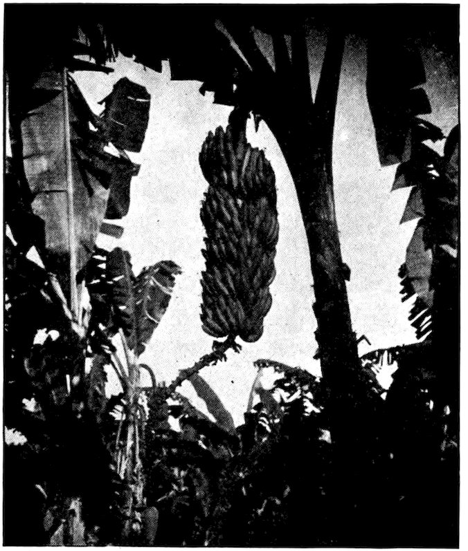
United Fruit Company
A fully developed bunch of bananas ready for harvesting.
A burly negro, carrying a long pole at the end of which is a knife, nicks the plant, just below the middle of the “trunk”; the upper half swings down and a helper severs the bunch with his machete. The fruit is laid carefully on the ground, for if a single banana is bruised, the whole bunch and perhaps many others around it will spoil before the destination is reached. In a few minutes a train comes along, and each bunch is laid on a cushion of leaves in one of the open cars. The men know how many bunches will fill a car and how many carloads will fill a ship, and they 198know, too, just when each bunch should be cut so as to reach the American market in good condition. Bananas going to England have to be cut earlier. At the wharf the fruit is carefully carried aboard either on wide endless belts or on negroes’ heads. It is put in the ice-cooled hold of the ship, which is kept at just the right temperature.
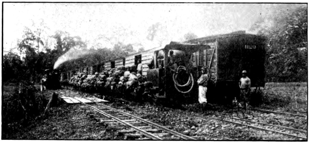
United Fruit Company
Bananas are carried to the railway by a steam tram which runs through the plantation.
After the old stalk has been cut down, another banana plant grows up rather quickly from it. Before long a big flower, usually purple in color, appears at the top of the plant, and slowly the tiny bunch of bananas beneath it grows to its full size and is ready, in its turn, to be cut. A banana plantation is more or less perennial, though it takes plenty of labor and watchfulness to keep it producing its best.
A ripe banana is never seen in a banana plantation, unless someone has been careless. If the bunches were not cut down and shipped before a single banana turned yellow, the fruit would be completely decayed 199before it reached us. Its flavor is best when it is cut from the tree in a green condition and allowed to ripen slowly. The Central Americans fry and bake bananas, especially the species called the plantain which is never eaten until cooked. The natives dry bananas as we do grapes, they grind them up for flour, and they even make banana wine and vinegar.
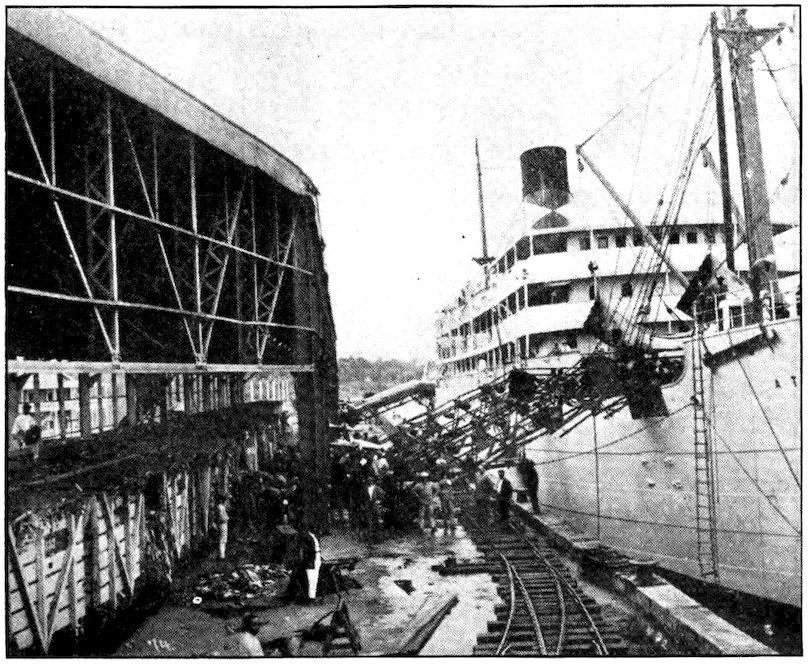
United Fruit Company
A banana steamship is quickly loaded by use of machinery.
As nearly all plantation workers are negroes, and the bosses almost all Americans or Englishmen, English is much oftener spoken than Spanish in the banana lands of the Caribbean.
Just south of Guatemala is Honduras, nearly as large and in many ways much like it. But while Guatemala has a population of two and a quarter million, Honduras has only a third as many inhabitants. It has about as many people as Pittsburgh, but is larger than Pennsylvania. The Keystone State would be very thinly populated if 600,000 men, women and children were scattered through it. It is not strange, therefore, that during long stretches of my tramp across Honduras I saw not a single soul.
Except for a narrow strip of swampy land on either coast, Honduras consists in a series of elevated plateaus and rows of mountains. The cordillera, or main range of mountains, runs from northwest to southeast, parallel to and only about fifty miles from the Pacific coast. The slope toward the Atlantic is longer and more gentle than on the opposite side. Unlike Guatemala, Honduras has no active volcanoes, and no lakes. It is watered by many streams, but most of them are swift and stony, and none are really navigable. Because the smallest country of Central America crowds into Honduras on the west, its Pacific coast line is only sixty miles long as compared with an Atlantic coast line of four hundred miles.
201Columbus discovered this country in 1502, on his fourth voyage to the New World. He called it Honduras, which in Spanish means “Great Depths,” because of the difficulty of getting anchorage in the deep waters along its Atlantic coast. But it is a land of great depths in another way also, for between its mountain ranges are immense valleys which sometimes seem to have no bottom. Peasants plant their patches of corn on slopes as steep as a church roof. Walking through the country is much like forever going up and down stairs.
In the higher parts of Honduras there are many pine and oak forests, and down on the narrow coasts the banana is much at home. Though tropical fevers are common, up on the table-land two blankets feel very comfortable at night. Near as Honduras is to the equator, frosts are frequent. The banana is the most important product, then come coffee, coconuts, rubber, tobacco and hides. There is considerable silver, mixed with a little gold, and some other valuable minerals. The American-owned mines of Rosario at San Juancito, twenty-five miles from the capital, are the largest silver mines in Central America. When I was there they employed about eight hundred men.
The early explorers found not only ancient rich mines but numerous pyramids and carved stones showing that there was once a real civilization in what is now Honduras. To-day the population is largely a mixture of Indian and Spanish blood. The people 202seldom weave their own garments, since they can buy foreign cloth with the profit from products that almost grow themselves. There are some negroes on the north coast, among the banana plantations, and on the Mosquito Coast there are Caribs, descendants of fierce Indians who once inhabited the West Indies and gave their name to the Caribbean Sea. Once the favorite refuge for runaway slaves from the West Indies, the Mosquito Coast even to-day has one of the most mixed populations in Central America.
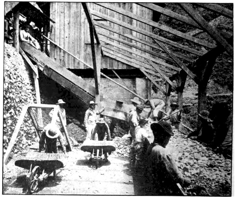
Pan American Union
The famous Rosario mines in Honduras, showing ore being sorted by native boys.
From 1539 until 1821 all Central America was one Spanish colony. In 1822 Honduras was a part of the 203Mexican Empire; from then until 1839 it was a member of the Central America Federation. Since 1839 it has been independent, though it has tried several times to join with the other small republics in forming a Union.
The only public railway in Honduras is a little line that starts out bravely from Puerto Cortés toward the capital, 250 miles distant. Puerto Cortés is a squalid village of wooden buildings in a hot swampy region on the low north coast. (The link between the American continents swings almost due eastward below Guatemala.)
The railroad’s old wood-burning locomotive somehow manages to crawl thirty-eight miles to Potrerillos in the foothills. There, as if it were afraid to venture into the real mountains beyond, the daily train turns back again. Tegucigalpa and Bogotá (in Colombia) are the only American capitals that have no rail communication with the outside world. Beyond Potrerillos the rest of the journey consists of five rough hours in a very aged automobile, then four or five days on mule-back.
I might have taken the Guatemala railroad down to Puerto Barríos, where I could easily have crossed the Bay of Honduras, or followed the hot and swampy shore, to Puerto Cortés. There I might have taken the little Honduras railroad, later an automobile, and finally a mule to the capital. But I decided that it would be more interesting to go right down through the 204country to Tegucigalpa. That meant a long walk, for the trails of Honduras are so bad that in many places an animal cannot get over them. In such a country a man’s own legs are his surest means of transportation.
Instead, therefore, of descending to the coast, I went back up the Motagua River from Quiriguá and left the railway at Zacapa. There I exchanged my ragged paper money for Honduran dimes (called reales and worth only a nickel) and for some silver dollars from half a dozen near-by countries. Almost any kind of silver money can be used in Honduras but paper money is often quite worthless. Besides a full knapsack, I took with me a hammock to sleep in. Made of a kind of grass by the Indians of Guatemala, it weighed only three or four pounds, and cost but thirty cents!
The journey began with a hard afternoon walk over dry hills. I crossed four ranges and spent the first night in a narrow valley dense with vegetation. The home of the man who took me in was made of poles set up to form four walls, with roof of thatch. It would have looked to Americans like a poor tool shed. Such huts would be very unpleasant places to sleep in without a hammock. I hung mine between two posts and was soon asleep. I was not yet in Honduras, for I did not pass the unmarked boundary until the next day, but this was typical of my lodgings on the trip through that country.
Sometimes I had to hang my hammock from rafters so high that I could get in only by “chinning myself” 205and swinging over as if on a trapeze. Sometimes I swung from the porch of a cowshed, sometimes in a dirty hut where all the doors and windows were tightly closed. The price for such lodgings was usually five cents. One night when I occupied the corner of a hacienda-house veranda, if I had fallen out of my hammock I should have dropped eight or ten feet to a flagstone floor or twice that distance into a cobbled farmyard. At other times I hung so low that pigs wandering about in the night looking for something to eat lifted me up as they crawled under me; and several times children or grown people with blazing torches came to wake me up and look me over. Once in a while the night might be fairly quiet, but there was nearly always a great hubbub of roosters, dogs, cattle and pigs, or of people snoring.
As my hammock was merely a net, and the mountain nights were chilly, I was often too cold to sleep much. It was not always possible to find a house by nightfall, and several times I slept out under the trees, not knowing but that some wild animal would take it into his head to attack me. I remember one such night when a group of drunken peons wandered along the trail not far away, but they did not catch sight of me. Once I spent the night high up on a mountain in the hut of an old woman who was ill. A girl kept a fagot fire burning all night and smoked me like a ham hanging from the rafters. Yet how much filth that simple little thirty-cent hammock kept me out of! The country people of Honduras seldom have beds, and their houses have no floors. Once I tried sleeping Honduran fashion 206on a sun-dried oxhide thrown down on the uneven earth, with two empty grain sacks as mattress and covering, but I never tried it again!
Each morning I folded up my hammock and set out again, nearly always without breakfast. The people got up late and I seldom had patience to wait for them to cook food for me. Yet if I did not wait, it might be half a day before I came to another hut. Often I almost lived on water, and none too good water at that, for the people of Honduras, lacking wells, use any near-by stream or pond. The traveler simply kneels at the water’s edge and drinks.
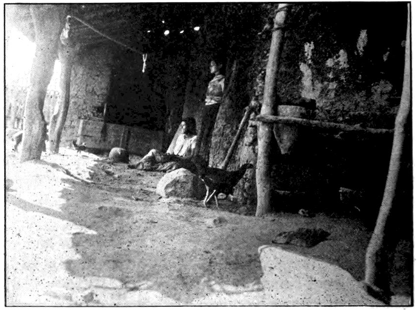
Two women of Honduras shelling corn and getting a meal ready for me. Many Honduran houses have even poorer kitchens.
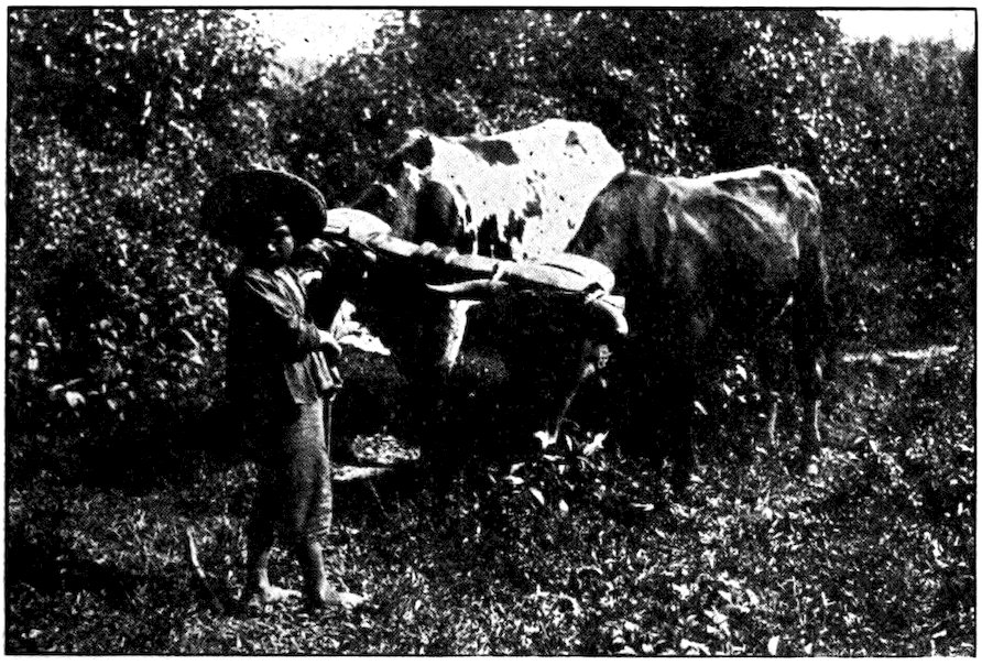
A boy of Honduras with his father’s yoke of oxen. They do not plow much land in a day, but the family raises only a little corn and a few vegetables—just enough to live on.
There was no milk, butter, or cheese, though I saw plenty of cattle. Sometimes I was offered stale bread, but not often. Beans and Indian corn, and corn tortillas that were heavier than those of Mexico, made up nearly every meal. Occasionally tough strips of sun-dried beef hung from the rafters; but even that kind of meat was rare. Once in a while there might be tomatoes as small as cherries; and always there was very bad black coffee. Even if roosters had kept me awake all night, the people would usually assure me that all the chickens had died or that they “belonged to someone else.” So I seldom got chicken—but when I did, an entire spring chicken never cost more than ten cents. I had better luck with eggs. However, the 208women insisted on breaking a hole in the egg before boiling it, and as neither cooks, water, nor dishes were clean I did not like the custom. The people of Honduras seem to have a superstition that an egg will not cook unless the boiling water gets inside it. Even if I offered to pay more for eggs without holes, the holes would be there and the cook would tell me that the eggs “broke themselves.”
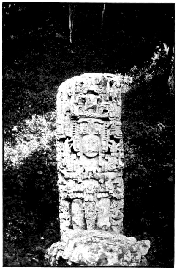
One of the carved stones left by the Mayas at Copán, Honduras.
I was told that Tegucigalpa was fifteen days’ journey from Zacapa by mule, perhaps a little less on foot! I wanted to reach the capital in time to see an old friend before he left for the United States, but if I had been the richest man in the world I could have gone no faster. To realize this made me feel very helpless, yet I knew that our own country must once have been much like Honduras. How different our life would be now without railroads, or even roads!
There was not a yard of real road on all of my two weeks’ tramp from the border to the capital. Trails through forests and mountains in the United States are smooth and easy in comparison with this ancient route between Guatemala City and Tegucigalpa. Yet it is called the camino real, that is, the royal highway! I saw nothing either royal or highway-like about it.
Often I climbed for hours, sometimes by stone steps cut in the mountain, only to come down on the other side. My clothes were worn out, and the American paper money in my pocket was almost ruined by perspiration and the tearing jungle. Within a few hours midsummer heat would change to the chill of late autumn. For miles I stumbled among loose stones where there was always danger of spraining an ankle. 210I waded and swam through rivers; I splashed through mud; now and then I got soaked by a sudden shower. After losing time at two streams in undressing and dressing again, I decided thereafter to plunge in, shoes and all. At times I had to follow the bed of a stream, wading across it and back, or scrambling up its steep bank and down again. Now and then I lost my way, and had to stop to get my bearings; there was seldom anyone to ask. For the most part the trail seemed to have built itself, without human aid, and it had a habit of falling into deep gullies and struggling out again like a drunken man.
At least there was often the pleasure of drinking from a clear cool mountain stream; and I must admit that occasionally the trails of Honduras give the finest walking in the world. What could be more pleasant than to wander along grassy upland paths, with magnificent forest vistas on either side, or through the forests themselves, range after blue range of mountains spreading away to the horizon? For miles at a time I did not see a human being.
Crooked telegraph poles, on which was strung one lone sagging wire, were often useful in showing me the way. The telegraph lines of Honduras belong to the government, and one can send a message anywhere in the country for a nickel. The mail of Honduras is usually carried by a lazy barefoot youth wearing faded khaki and an ancient straw hat. He may have a pack mule, but whether he has or not he takes very long indeed to get from one town to another.
Mahogany and other valuable hardwoods are found in the great forests of Honduras, but there is no such thing as a mahogany forest. Trees of this species grow far apart; it is considered good luck to find sixty mahogany trees in 25,000 acres. Tree “hunters” recognize a mahogany tree by its great size and its brightly colored leaves. They bring in cutters, who may have to build a road to reach the tree or to haul it out. It is a day’s work for two men to cut down a tree.
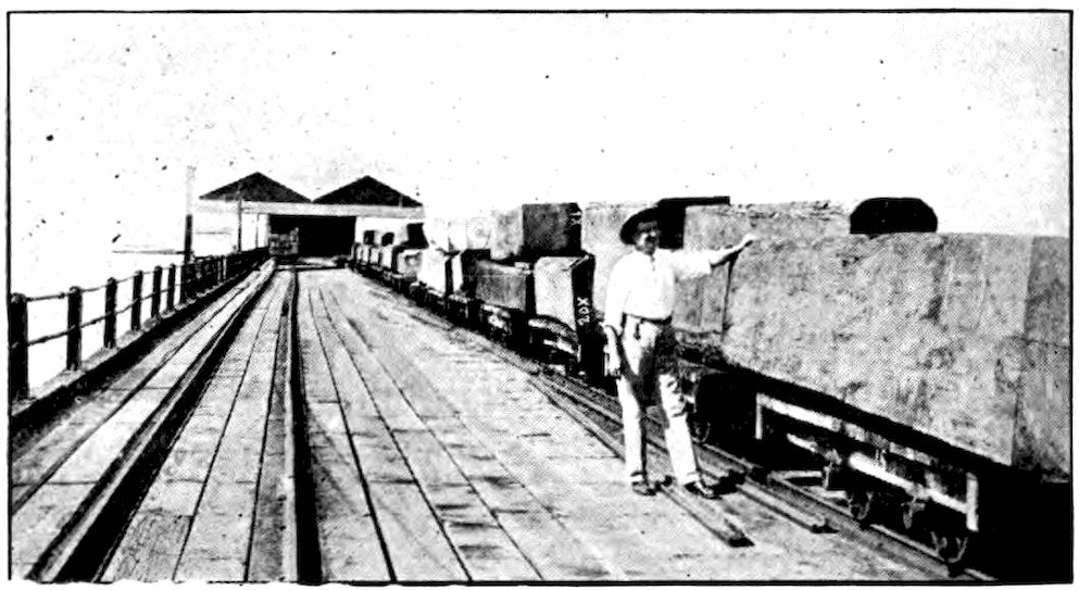
Panama Mail Steamship Co., San Francisco
Immense mahogany timbers ready for shipment.
A single log of genuine curly mahogany may sell for $10,000. In our country an inch board is often cut into sheets as thin as paper, for veneering other wood. Much of our “mahogany” furniture is really mahogany veneer and some of it is perhaps not even that, but an imitation, for real mahogany comes only from the lands of the Caribbean. Yet in Honduras mahogany logs are 212used not only to make tables but even rail fences! On a hillside that might produce food for many people I often saw a milpa, or tiny cornfield, fenced off with mahogany slabs that to a furniture manufacturer would be worth ten times all the corn produced by the patch in a lifetime. But as I have already said, the great problem is to get the wood to market. Like ebony, rosewood, cocobola and snakewood—other valuable hardwoods of Central America—mahogany will not float, and there are no railways or roads.
The first sizable Honduras town I saw was Santa Rosa. Four thousand feet above sea level, with fine scenery all about it, the place looked very pretty from a distance with its white church bulking above the low houses. But the people are not very industrious or progressive. There were no hotels, restaurants, electric lights, carriages or automobiles. When I asked for lodging, the people sent me to the drugstore, where an American doctor had a “room” made by curtaining off with canvas a part of the public hallway to the patio. The doctor was away from home, and I slept in his bed that night.
Tobacco grows about Santa Rosa, and every native hut is a cigar factory. Men, women, and even children smoke the rather crude cigars, and quantities of these are sent, on men’s backs or on pack animals, to other parts of Honduras.
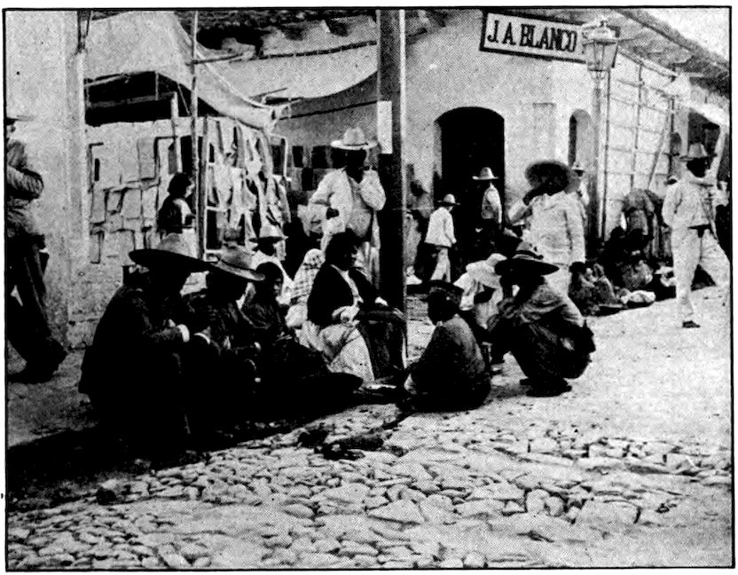
A street corner in Santa Rosa, Honduras. The men in the foreground are soldiers, and the store behind them is one of the best.
The doctor whose room I had used came home next day and proved to be a huge man from Texas. He worked very hard, for the people of Honduras have almost no doctors, and he received very little pay because his patients were all so poor. The great majority of the natives live and die without any medical attention whatever, except for what relief they may get from a rare wandering pill peddler. Most of them think any “gringo” is a doctor, so they were always calling upon me to prescribe for them. As I had a small medicine case with me for my own use I sometimes did try to help them. They were always astonished that I would accept no payment, and now and then an old woman insisted on paying me by refusing to take money for my lodging or a meal. Hookworm, cancer, and other 214dreadful diseases were very common; smallpox was raging in one town I passed through.
One man with whom I spent a night insisted that I take a photograph of his sick wife, showing her bed and “even the color of her face,” so that he could send the picture to the Virgin of the Remedies at a distant shrine. He imagined that in that way she could be cured. Some of the people were afraid of a camera, but many of them wanted their pictures taken. As I had only a few films, and those who wished to be photographed insisted on spending two or three hours in dressing up for the occasion, I often refused; but I had a hard time explaining matters.
Along the trail, I would frequently pass a crude wooden cross showing where someone had died from disease, had been killed accidentally, or had been murdered. There is no capital punishment in Honduras, unless a military chief orders an execution, and as prisoners are usually released each time there is political revolution, murder is not considered a very serious offense. To remember this when passing a wooden cross up on a lonely mountain top was never very pleasant.
I saw several bands of soldiers wandering, rather than marching, northward. They were ragged and barefooted, and were followed by their bedraggled women and children. All were on foot and carried all they owned on their backs and heads. The soldiers of Honduras are usually as badly disciplined as they are 215clothed. They carry their rifles at all angles even when on parade. They are fond of being officers—indeed, there are almost as many generals and colonels as there are privates. Now and then some of them were rather impudent, but I could always pay them back. I would show their commander my letters and passes from important officials and have him make the troops line up and drill so that I could take pictures of them.
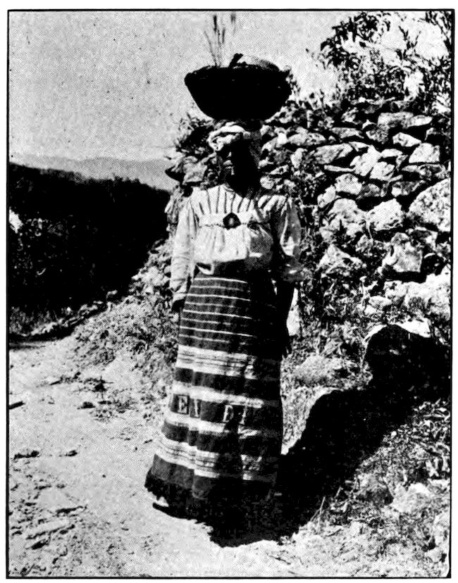
The women of Honduras, as well as the men, smoke the black cigars of Santa Rosa. They weave their own skirts, often working in words having a religious meaning.
216There were many prisoners also, working in gangs. Sometimes they were chained together, yet they did not seem badly treated. I remember passing one group who were supposed to be working on the road but who were all loafing in the shade and smoking. They laid their fingers on their lips as a sign to me not to waken the guard, who was sleeping on his back with his rifle lying across him.
One day I met a pair of pure-blooded Indians carrying oranges in big nets. They sold me “two hands,” or ten fine oranges, for a Honduras nickel. Later I met larger bands of them going to market, each carrying a load on his back, partly supported by a strap across the forehead. It was five or six days before I saw the first vehicle, a two-wheeled cart with solid wooden wheels, the greaseless axle screaming so loudly that I could hear it a mile away. The cart was drawn by two oxen having the yoke bound to their horns.
Except for an occasional soldier, all the Hondurans were very courteous. To be sure, like most Spanish-speaking people, they often said “My home is yours” without really meaning it. A man who was my companion one day gave me to understand that he lived in a palace and wanted me to come and stay with him that night. But when we reached his home it was just a miserable hut, and his family would not let me in until I offered to pay the usual price for a lodging. The man who had invited me went out to get a candle, and I had to try a dozen houses before I could 217buy food enough for a supper. The country people of Honduras depend entirely on candles for light, and as they do not read in the evening—or, for that matter, much at any time—they often have no light at all.
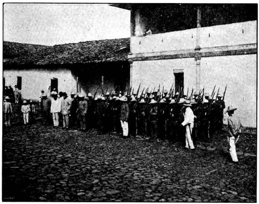
A company of soldiers in a Honduras town.
There seemed to be at least two chuchos (yellow mongrel dogs) for every human inhabitant. Often they kept me awake most of the night. The people do not feed their dogs, or their pigs either, but leave the animals to pick up what they can.
About sunset on the last day of the year I came to Comayagua, second largest “city” of Honduras and formerly the capital. No sort of hotel was to be found in the town; the central plaza was a sheep pasture; the tiendas, little den-like stores, sold almost nothing 218to eat. The mongrel chuchos were more numerous than the people, and so hungry that if you did not watch they would grab a tortilla out of your hand. It was a very languid place, as if everyone were suffering from the hookworm disease which makes people feel lazy and good-for-nothing.
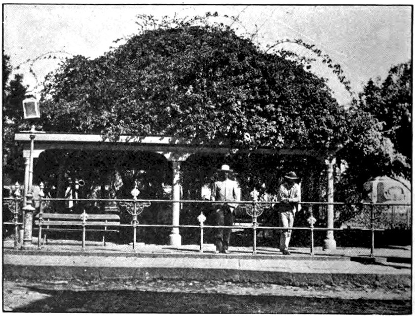
The central plaza of Tegucigalpa, capital of Honduras. Bright purple bougainvillea covers the arbor.
On New Year’s Day—a very hot one!—I started out on the last lap of my journey to the present capital. In the afternoon I had a chance for a fine swim in a river of clear water. (At such times I sometimes washed my clothing, which soon dried in the bright sunshine.) The next morning just at sunrise 219I came in sight of my goal, Tegucigalpa, the “City of the Silver Hills.” When I walked into the central plaza I showed that I had been fifteen days on the road. But there were still some clothes in my knapsack, and at the post office I found a pair of American shoes which I had mailed to myself at that address months before.
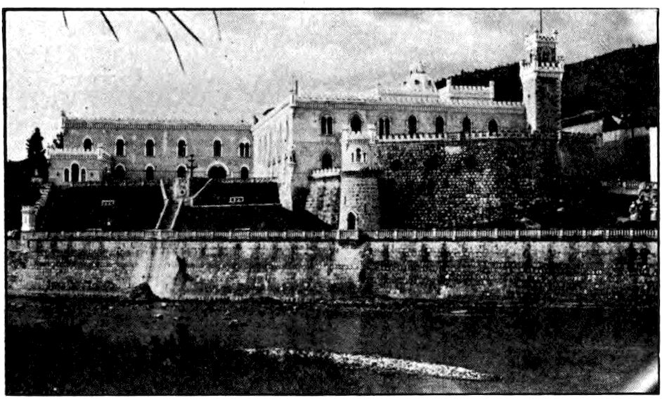
Pan American Union
The President’s palace at Tegucigalpa, Honduras, is rather an imposing and romantic-looking building.
With its 40,000 inhabitants, the capital is really the only important town in the country, yet it is not a very bustling place. I stopped at the Hotel Jockey Club, which might have been worse and might have been much better. The only bath was in the basement—a stone vessel into which trickled cold water. The bare rooms were furnished with sagging cots. Barefooted servants fed us in the dining room on the usual Honduran food, while a variety of barnyard creatures looked on.
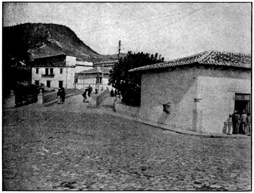
A corner of Tegucigalpa, showing Picacho, the hill from which the capital has often been captured during revolutions.
Sleepy little shops, frequently owned by foreigners, put up their wooden shutters at dusk, and after that there was not much left for a visitor to do but to roam the dark cobbled streets. On Sunday evenings a band played in the central plaza while the population promenaded. To be fair to Tegucigalpa, I should say that I found some very nice people there, and I will testify that it has one of the finest climates in the world.
Honduras has almost no policemen except in the capital. I arrived just in time for the first official inspection of a new police force. It had been organized by General Lee Christmas, a famous American soldier-of-fortune who was once a conductor on the railroad in 221Guatemala and later was a general in the Honduran army. Not only he and I but the president and all the diplomatic corps were there. The Indians who had been made into policemen looked scared. Very solemnly each stepped forward when his name was called, saluted the chief, and then fell back into rank.
From Picacho, a long ridge of mountains ending in a blunt nose close above Tegucigalpa, one gets a good view of the city. There is a saying that anyone who captures Picacho may sleep in the palace. Most of the frequent revolutions in Honduras begin and end when someone with a few hundred soldiers captures that hill. From it one can look down into the patio of nearly every home. Most of the buildings are one story high, roofed with red tile. Above them stands a whitewashed cathedral with twin towers. Mountains roll away on every side, and over them wind two ribbon-like roads.
Of the two routes the traveler may take out of Tegucigalpa (except for the hard trail by which I had come) one goes through Comayagua and on to the short railway from Puerto Cortés; the other and shorter goes down to Amapala on the Pacific. An American who had been working in the mines of San Juancito took my things on his horse, and I walked down to the coast in a day and a half. The night I spent at Pespire, far below the capital, on the edge of the blazing tropics, but I started out again at three in the morning, for there was a fine moon. As soon as 222the hot sun appeared, lizards came out to warm themselves on the rocks. Natives wearing spurs on their bare feet rode past. Mule trains coughing in the dust, and creaking wooden carts, carried freight.
With the fantastic ranges of the interior and even the last low foothills left behind, I plodded across a dusty plain covered with withered grass and mesquite, where cattle panted for water. The owners of the American mines have helped the government build a road for automobiles, which climbs 2,000 feet out of the central valley and descends 5,000 feet to the coast. But much of the traffic is still of the old-fashioned kind.
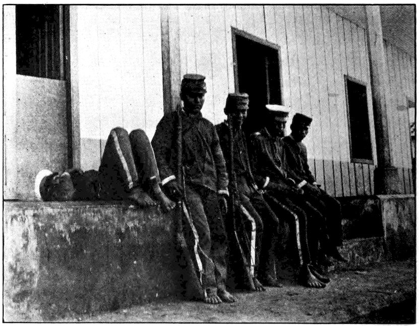
Soldiers of Amapala, the Pacific port of Honduras. They look rather lazy, but probably they are suffering from the hookworm disease which takes away a person’s energy.
223On the Atlantic side of Honduras there are many ports, but Amapala is the only one on the Pacific. It is not on the mainland but on the island of Tigre, twenty-four miles out in the Bay of Fonseca. From the top of an extinct volcano that rises above Amapala one can see three countries—Honduras, Salvador, and Nicaragua. Barefooted soldiers wrote down many facts about us as we landed from our launch at the narrow wooden wharf. Then we settled down in a not very comfortable hotel to wait until a steamer on the San Francisco-Panama route came along to carry us southward.
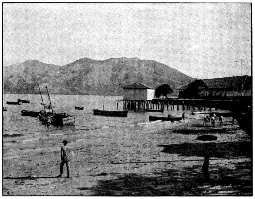
Amapala is on a volcanic island in the ocean, twenty-four miles from the mainland. From the top of this island one can see three countries.
Tucked away on the Pacific side of Honduras lies Salvador, the smallest republic between Hudson Bay and the Golden Horn. In size it is just a big farm, 140 miles long by 60 miles wide. There are single estates larger than that, in Mexico and in several other countries. Yet it has more inhabitants than any other Central American country except Guatemala. In area not much larger than Vermont, it has five times the population of the Green Mountain State. The 1,700,000 people who live in its 7,225 square miles make Salvador the most crowded country in the western hemisphere, with the single exception of the “black republic” of Haiti in the West Indies. In fact, few countries in the world are more thickly populated.
Where people are crowded, the struggle to earn a living is harder; and where it is hard to earn a living, people cannot afford to be lazy. So it is not surprising to find that the Salvadoreans have more energy and industry than their neighbors. Hillsides that would remain untouched in Honduras are cultivated to their very summits. Nowhere can you look down into a valley without seeing it well planted. Salvador has less forest and fewer wild animals than the other Central American republics, and with the possible exception 225of Costa Rica it is the most progressive country in that group.
Perhaps there are other reasons for its progressiveness besides a large population. There are few Indians, and these are more advanced than the Indians of the neighboring countries. They all speak Spanish. Most of the upper class are of pure European descent. Perhaps the inhabitants of Salvador have always been of better stock than their neighbors. Certainly Alvarado found it a hard job to conquer Cuscatlán, as this region was called in early days.
There are very few foreigners in Salvador; they do not own much of the country, as the Germans do in Guatemala. Nearly every Salvadorean has his own piece of land, instead of working for a huge estate, and this condition naturally makes the people ambitious and willing to work.
Like Guatemala, Salvador is a land of volcanoes. On the way to the capital you can count several peaks; from the ocean you can see a dozen. Mount Izalco has been in such constant eruption for more than a century that sailors call it the “Lighthouse of Salvador,” and for a long time volcanoes were the only lighthouses along the coast. The postage stamps of Salvador once bore the picture of a volcano.
As I said earlier, the damage done by eruptions and accompanying earthquakes is often balanced by the fact that volcanic ash enriches the soil. Salvador is a fertile country. Its narrow seaboard, its low alluvial plain, and its level plateau, about two thousand feet high, furrowed by river valleys and broken by smoking 226cones, grow splendid crops. Its rivers, flowing toward the Pacific, water the country well. In some regions there are three crops of corn a year. But coffee is the principal product. It was introduced in 1840 by a Brazilian school teacher, and to-day there are hundreds of thousands of descendants of the coffee tree he planted in his garden. In fact, eighty per cent of the exports of Salvador consists in coffee, which goes mostly to France and Germany.
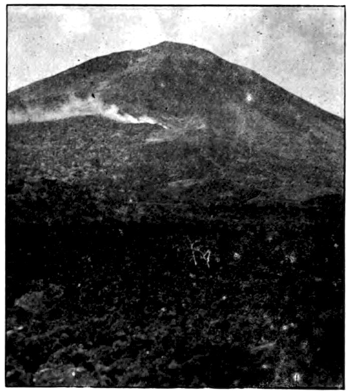
Panama Mail Steamship Co., San Francisco
Mount San Miguel in Salvador still smokes. The lava in the foreground rolled down the mountain side a century ago.
Indigo, which grows in many parts of the country, was once the chief export, but aniline dyes made it a less important crop. Did you know that indigo when 227under cultivation looks like a field of willow switches? The switches and leaves are soaked in water to which chemicals have been added, the resulting fluid being boiled down later into a paste. Indigo is used to dye cloth as well as to make the blueing for wash day. In Salvador cattle abound and there are many minerals, but it is an agricultural rather than a grazing or a mining country.
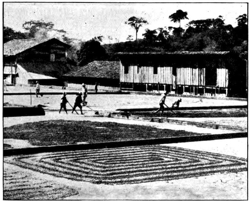
Panama Mail Steamship Co., San Francisco
Coffee being dried on a plantation in Salvador.
Almost all visitors to Salvador come by sea. It has several ports along its single coast. At Acajutla steamers anchor a mile out. Sometimes passengers 228have to be transferred to the shore boat in a big basket, lifted by a steam winch on board the ocean vessel. La Unión, down at the southern border of the country on the Bay of Fonseca, has a good harbor and better docking facilities.
A railroad runs from Acajutla to San Salvador, the capital; altogether there are now about 250 miles of railway. It is hoped to make connection with the railways of Guatemala and Mexico so that the people of Salvador can go all the way to New York by rail. This little country has good roads between the chief cities, and the government is building new ones. On them one sees some automobiles but more oxcarts. There are other fairsized towns besides the capital, the largest being Santa Ana. In addition, one passes through a number of pretty villages.
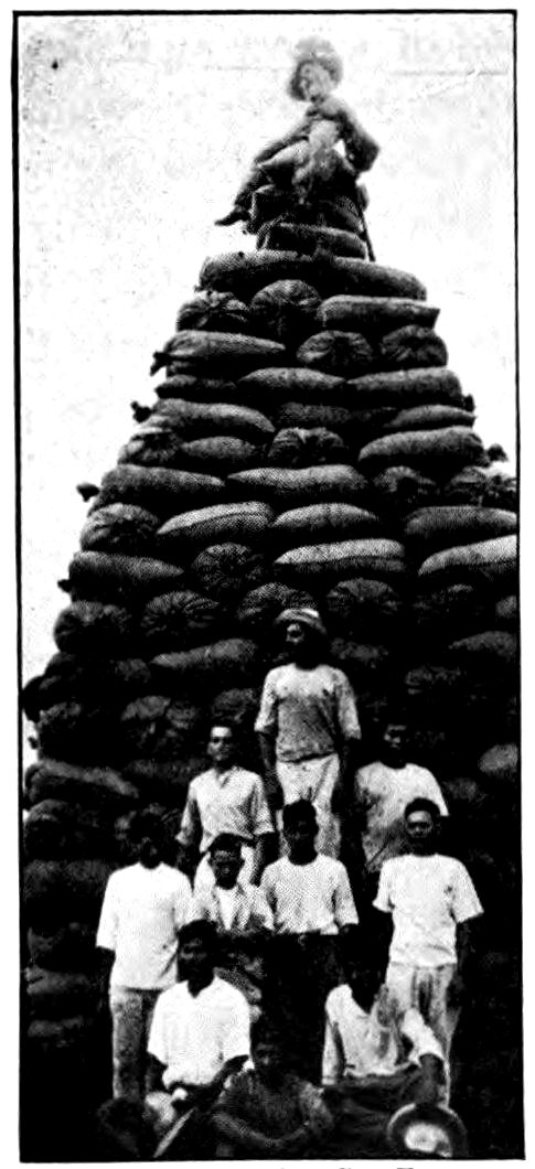
Panama Mail S. S. Co., San Francisco
Sacks of indigo, product of Salvador, ready for shipment to San Francisco. The straw man at the top of the pile shows that these workmen were as fond of a joke as ours would be.
I hope you have not made the mistake of thinking that this country is the San Salvador where Columbus first landed. That was a small island in the West 229Indies; this is a continental country bordered by the Pacific. Besides, its name is merely Salvador, though the capital is called San Salvador. This capital, by the way, is one of the most beautifully located cities of Central America, a warm, sunny place about two thousand feet above sea level. It stands in a fertile plateau, among green hills, at the base of a volcano 8,360 feet high. Deep ravines are worn in the plain by streams rushing down from the highlands. As these are crossed only by narrow tracks they protect the city in time of war. However, Salvador is quite a peaceful state compared to its neighbors. It has not had a revolution since 1903. Its presidents are legally elected and they are not dictators.
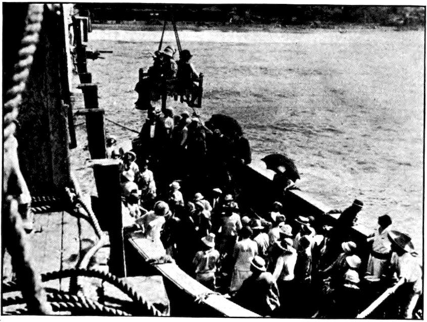
Panama Mail Steamship Co., San Francisco
Wouldn’t it be fun to have a ride in this kind of swing? At La Libertad, Salvador, the water is so shallow that passengers have to be transferred from the ocean vessels to shore boats.
The capital, however, has had its troubles. Founded in 1528, it has been ruined several times by earthquakes. It was completely destroyed in a single night in 1854, and there have been many severe shocks since then. Once it was rebuilt twelve miles southwest of the original site, but it was moved back in 1858. As recently as 1917 a great earthquake did heavy damage to five towns including the capital.
No wonder, then, that the houses of San Salvador are nearly all of one story, with very thick walls built to withstand earthquakes. There is a handsome government building, and a cathedral. The streets are straight, the sidewalks paved with rock and cement, the water supply a good one. There are more automobiles in San Salvador than in any other Central American place except the city of Panama. In general it is perhaps the most modern and progressive city of that region, outside the Canal Zone. One sees many pretty señoritas, many priests in black robes. The 120,000 people of the capital, all white or mestizo (Spanish and Indian mixture) do not wear gaudy garments, and there is little that is picturesque.
Salvador possesses a good telegraph system, and better schools than those of its neighbors. In theory the schools are all free and every child is obliged to attend. But this is true only in the towns. The country people and the lower classes have little education. Since even in the United States many people cannot yet read or write, we must not be too critical of conditions in Central America.
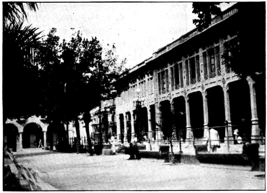
Panama Mail Steamship Co., San Francisco
In the city of San Salvador there are handsome buildings in the shopping district which surrounds Duenas Park.
A few queer old customs remain. Men ringing bells go along the streets and through the markets with little boxes containing tiny images of the Virgin, to which people may bow if they pay a penny. Horse cars rattle leisurely through the streets with a great cracking of the drivers’ whips. There is music almost every night in the central plaza, and flirtations under the palm trees. In almost every town an official looks after the people’s health. Sanitary conditions are better and there is less sickness than in most tropical countries. Salvador, lacking an Atlantic coast, is free from the diseases that are common in the fever-infested hot lands.
Belize (British Honduras) is one region in Central America that we are likely to forget or overlook, for it is not a republic. Yet it is larger than Salvador, being of much the same width but nearly forty miles longer. We find that its area is about that of Massachusetts. Tucked away on the eastern side of Guatemala and the Mexican peninsula of Yucatan, much of Belize is low country bordering on the Caribbean. Besides the more usual tropical products, such as mahogany and chicle, it has tortoiseshell and sponges for export.
Of its 45,000 people only about a hundred are pure white. Most of the inhabitants are negroes from the West Indies, and English is the language spoken. The river Belize runs through the middle of the colony. The capital, of the same name, has a population of about 13,000.
Belize seems to be a Spanish corruption of “Wallis,” the name of an early British settler. Buccaneers or pirates first occupied it, then came logwood hunters. Off the coast, the British settlers were attacked by a Spanish fleet, but they repulsed it and landed a force of two thousand men. In 1798 Spain acknowledged the occupation. Belize has been an organized British colony since 1862.
The morning after we sailed from Amapala in Honduras our steamer stopped at Corinto, the chief Pacific port of Nicaragua. A railroad runs from there to Managua, the capital, and beyond, touching the principal towns. Except for some private tracks, it is the only railway in Nicaragua; yet it is barely 175 miles long—a very small mileage, considering the country’s size. Nicaragua’s area of nearly 50,000 square miles makes it the largest country in Central America, though Guatemala really has more land. Including its two big lakes, Nicaragua is about as large as the state of New York. It extends from ocean to ocean, but most of its 650,000 people live in the western third of the country, which is higher and more healthful. The central cordillera, or main mountain range, between four and five thousand feet high, is only twelve to thirty miles from the Pacific. As most of the country, east of this, is low, unpleasant, and unhealthful, all the cities and big towns are on the Pacific slope.
The railroad goes inland a short distance, then turns south. It skirts the mountains, including smoking Momotombo. In this region are frequent eruptions. Thirty miles from Corinto the train reaches León, 234formerly the capital, then crawls on southward to Managua, the present capital, on the southern shore of Lake Managua.
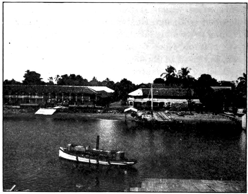
Corinto, the principal Pacific port of Nicaragua.
León and Granada both wanted to be the capital. The dispute was settled by giving the honor to neither, but to Managua. This city, unimportant then, now has 40,000 inhabitants. It is not a pleasant place. For one thing, it is only 140 feet above sea level, which is far too low in a tropical country. Despite occasional breezes from the lake front, it swelters in heat nearly all the time. Like Corinto and León, it is a city of sand. A barren expanse of desert faces the old cathedral. Vegetation sprouts from a fallen spire. Dust covers the grassless central plaza; it is two inches deep 235in the main avenues; it settles on the low roofs and seeps in everywhere.
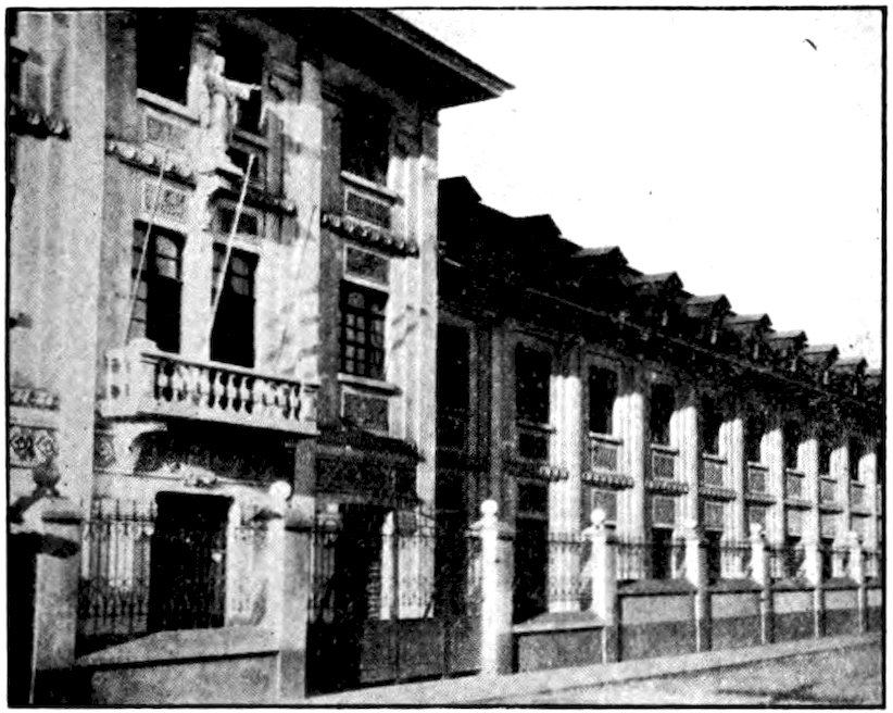
Panama Mail Steamship Co., San Francisco
This large and well-built school is in the city of Managua, Nicaragua.
There is no water fit to drink. When the Spaniards established themselves in America they were usually careful to build their capitals up in the mountains. But they did not bother so much about water. In those days most of Europe thought bathing unhealthful, and as the people drank wine to quench thirst, water was needed only for cooking and for the horses. Nearly all the old Spanish capitals still have a very poor water supply.
It is not strange that Nicaragua, being low and hot, with the least invigorating climate in Central America, is one of the most backward countries south of the 236United States. Nearly all of its people have the hookworm disease, which makes them feel tired all the time. A big American charitable foundation has been fighting this disease throughout Central America; but it will probably remain as long as the people go barefoot, for the parasites that cause it work their way in through the skin.
However, there are some energetic Nicaraguans in the cities. Managua has taken up baseball and even boxing—though that sport has long been opposed in Latin-America as a brutal amusement of the barbaric “gringos”! The aristocrats of Central America are very fond of theatrical entertainments, and there is a national theater in nearly every capital. But as the expense of bringing actors from Europe is high, performances are rare in such little places as Managua, even though the government helps to pay for them. Those who want amusement usually fall back on the evening concerts in the plaza.
It may seem queer to speak of the composition of verses as a favorite “indoor sport,” but that is just what it is among the educated young men. In Spanish-America nearly everyone who knows how to write tries to be a poet. The newspapers print many amateur poems, but do not pay for them. However, the authors consider the honor of appearing in print before all their friends sufficient reward. Occasionally a real poet is discovered among the crowd, like one pearl in a ton of oysters. Nicaragua gave to the world 237Rubén Darío, considered by some critics the greatest modern poet writing in the Spanish language.
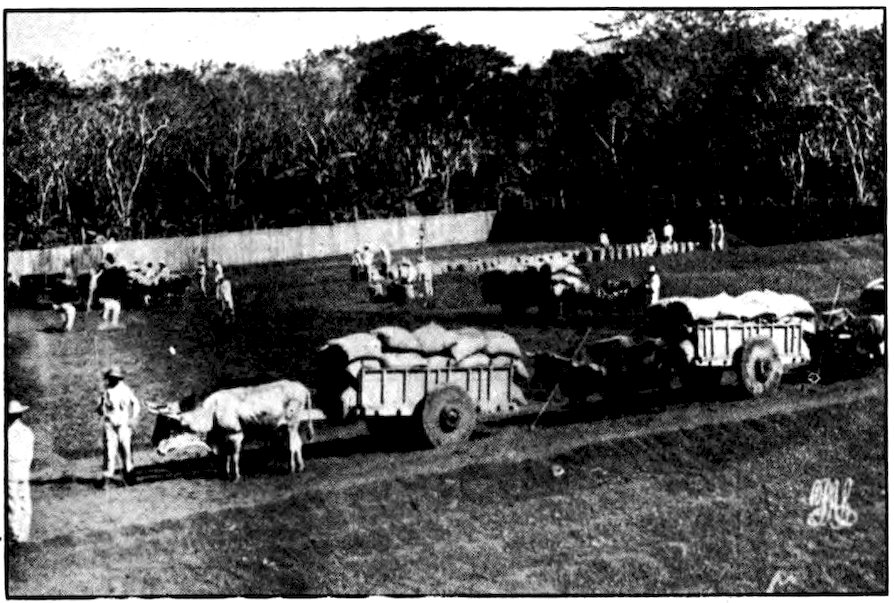
Panama Mail Steamship Co., San Francisco
Loading coffee at a plantation in Nicaragua.
This country, with all its handicaps, has many natural advantages—good rivers and thick forests, minerals in the ranges, and a large amount of land suitable for cultivation. Men who should know say that it could develop wealth greater than that of any other Central American country. It has almost all tropical products. Mahogany, rosewood, logwood, sandalwood, and other valuable hardwoods grow in its forests, in which gums, dyes, and medicinal products also are found. The rich soil of the western cultivated region grows splendid maize. Coffee, sugar and bananas are produced. In the little-cultivated eastern and central parts of the country, there are many herds. But the 238Nicaraguans do not make the most of their opportunities. Their country is almost as undeveloped as Honduras, and its exports and imports are less than those of the much smaller Salvador.
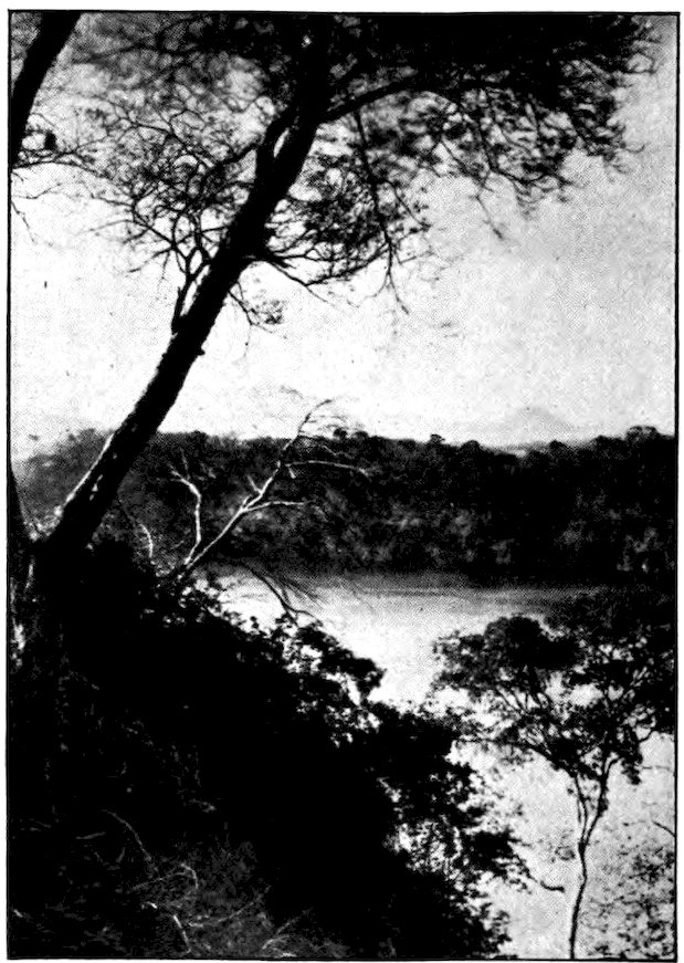
Panama Mail Steamship Co., San Francisco
A glimpse of Lake Nicaragua, famous in the history of attempts to open a passageway between the Atlantic and the Pacific.
Lake Nicaragua, which bears an important relation to the history of the country, is the largest body of 239fresh water between our Great Lakes and Lake Titicaca in the Andes. It is 115 miles long and 45 miles wide—almost as large as all Salvador. A little north of this lake and twenty-five feet higher is Lake Managua, thirty-five by twenty miles in extent. When gold was discovered in California, many Americans went there by way of Nicaragua, before the Panama Railroad was built. Commodore Vanderbilt ran steamers across Lake Nicaragua to a low place in the mountains and he had stagecoaches carry the prospectors from there to the coast, where they embarked for California. Many of them saw gold in the rivers, and on their return from California some stayed in Nicaragua. Thus Americans came to control the mines in that country, as they do in other parts of Central America and in Mexico.
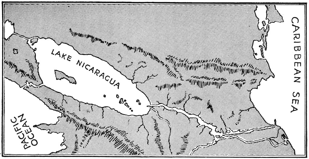
Map showing proposed Nicaragua Canal route, with opening cut between Lake Nicaragua and the Pacific. The San Juan River connects Lake Nicaragua with the Caribbean Sea (Atlantic Ocean).
240For a long time Nicaragua was considered a better location than Panama for a canal between the Atlantic and the Pacific. Lake Nicaragua is only 110 feet above sea level, and drains into the Caribbean through the San Juan River. Moreover, the cordillera, between Lake Nicaragua and the Pacific, is quite low. Dredging the San Juan River would allow ocean vessels to come up to the lake, and from there a canal could be dug to the Pacific, only eleven miles away.
The possibility of a Nicaraguan canal was discussed in the United States Congress as early as 1826, and Henry Clay was sent to investigate. The principal disadvantage of a canal in that location would be the long distance between the two oceans. Much dredging would be required, for most of the San Juan River is 241so shallow that only small launches can navigate it. Yet if ever traffic outgrows the Panama Canal, which is quite possible, Nicaragua will furnish another steamer road between the Atlantic and the Pacific. In 1916 the United States paid Nicaragua $3,000,000 for an option of ninety-nine years on this canal route. This gives us first rights there until the year 2015. As a matter of fact, the $3,000,000 never left New York. It was paid to the bankers who had loaned money to Nicaragua.
The history of Nicaragua is especially interesting to us, because the United States Government and individual Americans have had so large a part in it. Like the countries north of it, Nicaragua was once a center of Indian civilization. There are stone sculptures and ruins of an early civilized race, and remains of ancient Indian dialects. Columbus sailed along the Mosquito Coast in 1502; Granada was founded in 1524. During the three centuries of Spanish rule Nicaragua was part of the one Central American colony, with its capital at Guatemala City. Two years after it became independent in 1821, Nicaragua joined the Federation of Central America, which lasted for sixteen years. Then came civil war, followed by war not only with Honduras and Costa Rica but with England. The English claimed all the Mosquito Coast, but gave up their claim, except to Belize, in 1860. Since then there has been the usual Central American story of one dictator after another, with not very many presidents 242getting their office legally. From 1893 to 1909 Nicaragua was ruled by José Zelaya, a dictator much like Diaz of Mexico. He began well, but soon became a great tyrant. Because the illiterate peons, who made up so large a part of the population, took no interest in political matters, he could run the country much as he pleased. Zelaya helped Nicaragua to make some progress, but he took away from the people what little political self-confidence they had gained.
Americans as individuals had already been much interested in Nicaraguan affairs before official United States “co-operation” began in 1909. As in Mexico, large investments had been made by American capitalists. Zelaya had been having himself re-elected over a period of seventeen years when a revolution was started by General Juan Estrada at Bluefields, an isolated port on the Caribbean. Zelaya incurred the displeasure of the United States, through the execution of two Americans, and he was finally forced to resign and flee to Mexico. American Marines were landed at Bluefields to protect our interests.
In 1910 Estrada was elected president by the Nicaraguan Congress and his government was recognized by the United States; but he resigned after a few months. In 1912, when Adolfo Diaz was president, another revolution broke out, and again American forces were landed. As a result, Diaz’ position was strengthened. Thereafter a “legation guard” of a hundred Marines was retained at Managua for a number of years. 243By keeping political conditions stable under several administrations, the presence of these troops was of benefit to American bankers and others whose money was being used to develop the country’s resources. After the withdrawal of United States troops in 1925, political unrest and intrigue again appeared. In 1926 when, after an interval, Diaz had again taken office as president, his election was contested by a former vice president, Juan B. Sacasa. Diaz, recognized by the United States and other leading nations, asked for American aid. Again Marines were landed to help preserve order.
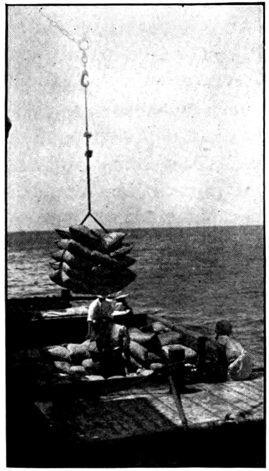
Panama Mail S. S. Co., San Francisco
Loading coffee at San Juan del Sur, Nicaragua. It has to be carried out from shore in a lighter and then transferred to the ocean-going vessel.
Some European and American newspapers, and some of our members of Congress and public speakers, criticize the United States Department of State for its Nicaraguan policy, speaking of it as unjustified “intervention” rather than beneficent “co-operation.” The policy is not popular, either, with all the people of Nicaragua. The wisdom of doing as we have is too debatable 244to go into here. I have given an outline of the facts because our policy has been affected not only by the need to protect American lives and property, but also by the possibility that some day the United States may wish to take up its option on the Nicaragua route for a new canal.
Unsettled conditions led American bankers to take charge of the huge Nicaraguan national debt, and to arrange to manage the railroad. They came, in time, to control nearly everything of value in the republic. It is undoubtedly true that Nicaragua made some progress under American supervision, but not much is visible to the hurried visitor. Managua is in no better repair now than when the Marines first came; most of the cities and towns are more dilapidated than those of Honduras. But the national debt was reduced from $32,000,000 to $9,000,000, and the córdoba, or Nicaraguan dollar, was brought up to the same value as our dollar.
In the old days anyone who thought he was important expected at least a pass on the railroad, and if he was very influential he expected a private car. The car would be attached to a regular passenger train, and this train would have to stop and wait several hours while the private-car man paid visits along the line. This was all changed under American “co-operation.” The railroad began to run on a schedule and to pay a profit. The Nicaraguan Government proceeded to buy back control of both the railroad and the national bank.
It would be too bad to leave Nicaragua without telling the story of William Walker. That most notorious filibuster in Central American history was born in Tennessee. In his youth he studied medicine in Edinburgh and Heidelberg. Later he worked for newspapers in New Orleans and San Francisco. Public attention was first attracted to him in 1853 when he attempted to conquer the state of Sonora, just across the Border, and was nearly killed by Mexicans.
Believing that some day the North would force the abolition of slavery in the United States, Walker decided he would establish a slave monarchy in Nicaragua. When the two political parties of Nicaragua, the aristocrats and the democrats, were fighting tooth and nail in 1855, this American adventurer landed with fifty-eight blue-shirted men who, though carrying few weapons, soon captured Granada. Walker had himself appointed secretary of war and commander-in-chief of the Nicaraguan army. By the end of the year he had induced the United States Government to recognize his puppet president. Not long afterward, accusing this president of conspiracy, Walker ordered him shot and declared himself president. Then he fought a war with Costa Rica, and proclaimed English the official language. Nicaragua did not allow slavery, but Walker had the anti-slavery clause in its constitution annulled, and offered American slave owners a land of refuge.
However, his rule led to an insurrection. He had taken Commodore Vanderbilt’s steamers on the Nicaraguan 246lakes and sold them to another American capitalist. By way of reprisal, Vanderbilt loaned money to Walker’s enemies and helped to get him defeated. Walker surrendered to the commander of an American naval vessel and was taken back to New Orleans. From there he went on a lecture tour!
Always restless and ambitious, he returned to Nicaragua in 1857 with a following of American adventurers. The Nicaraguans drove him out, and he turned his attention to Honduras. On his first attempt to invade that country he was shipwrecked. Later he took the city of Trujillo, but he could not hold it. In time he was captured by a British warship, handed over to the Honduras Government, courtmartialed, and shot.
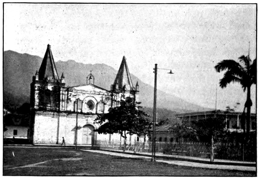
United Fruit Company
Old Spanish church in Trujillo, the Honduras coast city once captured by William Walker.
If we travel by the shortest and most comfortable route from Nicaragua to Costa Rica—the “Rich Coast”—we shall take a steamer on the Pacific from Corinto to Puntarenas (“Sandy Point”) where we can get a train for the capital. Or we can take a boat at Granada and sail down Lake Nicaragua to the border of Costa Rica. Let us, however, go down the Atlantic coast—called the Mosquito Coast from the Misskitos or Mosquitos, a race of mixed African and Indian blood.
Weather-blackened old San Juan del Norte, otherwise known as Greytown, will be the Caribbean terminus of the Nicaraguan Canal, if it is ever built. It is a typical east-coast town, low, swampy, ill smelling, with black inhabitants in the majority. In the days of the gold rush to California it was a thriving city. Then this coast, from Yucatan to Costa Rica, was a part of the British Mosquito Kingdom, of which only British Honduras (Belize) now remains. To-day the whole population of Greytown rush to their doors to stare at any new white man who lands there.
We take a boat from Greytown to Port Limón, the principal port of what many people consider the most charming land in America. Limón harbor is 248bounded by a white crescent beach fringed with graceful coconut palms. Several million bunches of bananas a year are shipped from Limón to the United States and Europe. The Caribbean shore is noted also for its turtles, which furnish us soup and tortoise shell. On the Pacific coast pink pearls and mother-of-pearl are obtained.
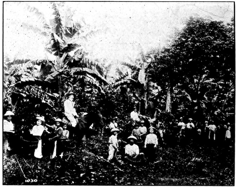
United Fruit Company
Coffee picking on a plantation not far from San José.
Limón is the eastern terminus of the short transcontinental railway which passes through the capital, San José. One of the three railroads in Spanish-America most famous for scenic beauty, it carries us inland through an ever-changing panorama of banana plantations, cane fields, thatched villages, 249dense jungles and forests. We pass magnificent trees, festooned with moss and vines, as we make our way through rugged gulches and beside foaming rivers. In the distance lofty mountains tower toward flimsy white clouds that float in the bluest of skies. From Port Limón to San José the railway is owned by an English corporation but it is leased by the Northern Railway Company, a subsidiary of the United Fruit Company. From San José to the Pacific coast the railway is owned and operated by the Costa Rican Government.
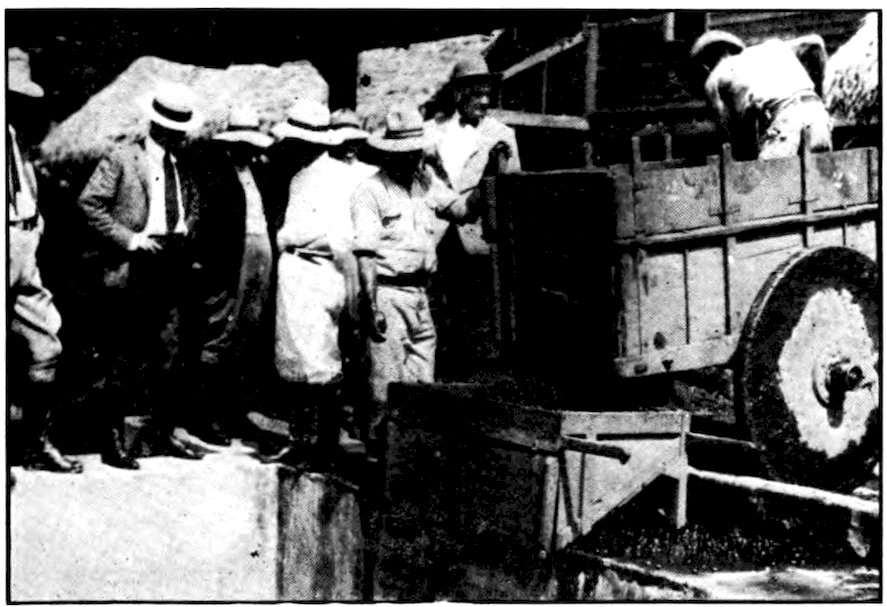
Panama Mail Steamship Co., San Francisco
A cart full of coffee beans delivering its load.
The train climbs mountain sides until the stream it has been following becomes a mere ribbon far below. It crawls along winding cliffs that look out upon endless 250vistas of waving palm-tree tops. Soon we are up in the exhilarating coolness of the highlands, among rolling hills. The banana lands and the uncomfortably hot weather have been left behind at the foothills. Up to an altitude of three of four thousand feet, we pass many coffee plantations, the red berries glistening in the morning dew. The bushes climb hills so steep that the planters and pickers would seem to need ladders. Costa Rica coffee, which is considered excellent, is sold mostly in the European countries. To the Costa Ricans it is one of their most important products.
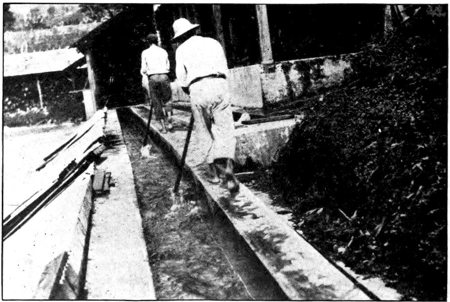
Panama Mail Steamship Co., San Francisco
One of the processes in preparing coffee for the market consists in washing it.
Other products of this rich land are tobacco, sugar, cacao, rubber, vanilla, and hides; but all these are of small account compared to bananas and coffee. Costa Rica has minerals, too, but its agricultural products 251are more important. Columbus rightly named the region “Rich Coast.” Yet fertile as it is, and despite its name, it was very poor until it had been opened up by foreign capital.
Costa Rica, with its 23,000 square miles, is about half as large as Pennsylvania. Except Salvador, it is the smallest republic in the Americas. Everywhere but on the east coast it is very mountainous, with many volcanoes. Not only is the scenery beautiful; the climate is splendid at all but the lowest levels. Most of the country is so healthful that Canal Zone doctors recommend it to convalescents, and many American employees go to Costa Rica for their yearly vacations instead of returning to the United States.
The railroad reaches a height of almost five thousand feet at the top of the pass some ninety miles from the Atlantic. The mountains seem to roll over one another in all sorts of shapes, like a school yard full of boys playing rough and tumble. Here are great gorges, there hollows or plots of almost level land covered with small farms. Some of the peaks are two miles high, and from the top of one of them both oceans can be seen.
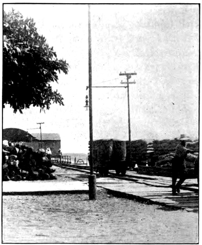
Panama Mail Steamship Co., San Francisco
Both coffee and rosewood are shipped from Puntarenas, Costa Rica.
From the summit, the train descends two thousand feet toward the capital. On the way we stop at Cartago, the old capital and seat of Spanish rule, picturesque with its red-tiled roofs. It was named for Carthage, famous city of antiquity. When independence was declared, some of the people of Cartago refused to join the revolutionists, and the latter made San José their capital. Many wealthy Costa Ricans still prefer to live in Cartago. It lies on the slope of the volcano Irazú, which has a number of worn-out craters. Mt. Poas makes more trouble for the region. In April, 1910, an earthquake was felt throughout the plateau, and in Cartago one thousand people, one-tenth of the population, perished in the ruins of their city. To-day there are still signs of this disaster, but most of the wrecked area has been rebuilt. The visitor who wanders about Cartago on a summer evening (the only kind of evening the city has) and sees the gay crowds at the outdoor band concert or coming from the 253movies or the theater, finds it hard to realize that it has been the scene of a great tragedy.
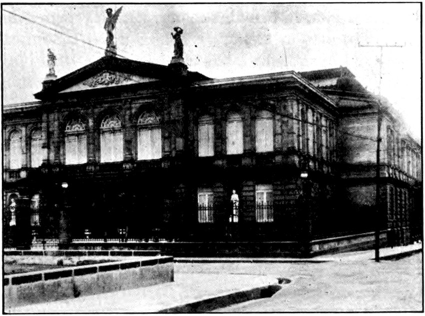
United Fruit Company
The National Theater at San José, Costa Rica, is a very costly and handsome building.
The train goes on down into a fertile valley dotted with little farms and puffs into San José, the most delightful capital in Central America and one of the most interesting small cities anywhere below the Rio Grande. It lies in a natural amphitheater of mountains that are always green, their heads often lost in clouds. It is a city of quaint Spanish architecture, yet with every modern comfort, a city of the loveliest climate, a quiet, peaceful city slumbering beneath a warm 254sun that never burns, with the most attractive plazas. and, some people think, the most beautiful women in the world.
The most delightful thing about San José is that, though it is so up-to-date in some ways, it remains as picturesquely charming as a city of old Spain. Nearly every woman one meets wears a very large shawl. Even among the lower classes this wrap is often richly embroidered, though the wearer may be barefoot. It is often of silk, in brilliant colors, with a fringe a foot long. The one- or two-story houses squat contentedly about the big cathedral, like chicks about a hen. Oxen plod slowly through the narrow Moorish streets behind the driver’s goad—for the Spanish way is to walk ahead and coax the animals to follow by goading them in the neck. Their noses almost touch the ground, their massive shoulders swing from side to side in unison, because of the yoke bound to their horns. In the coffee fields just outside the capital, the peons laugh and chat as they fill their baskets with the red berries that will some day cheer the café customers of Paris and Berlin.
Columbus discovered the “Rich Coast” in 1493, and by the time of his fourth voyage, in 1502, it seems already to have been settled. Fortune favored it from the beginning. As it had few gold mines, it did not attract to its shores those swashbuckling adventurers whose descendants still keep so many of the neighboring countries in turmoil. It was not settled by conquistadores 255from hot-blooded Andalusia, bent on enslaving the Indians and doing no work themselves, but by people from Galicia in the northwestern corner of Spain. Although other Spaniards consider the Gallegos (people of Galicia) rather stupid, they are the hardest-working farmers in Spain. Those who came to America did not intermarry with the Indians of Costa Rica but took the country away from the native tribes. To-day, once we have passed the black fringe along the Caribbean coast, we find few Indians and not many half-breeds, but a race that is eighty per cent pure Spanish, even among the lowly peons.
It is no wonder that the people of Costa Rica seem happier than most Central Americans. Their country is not only fertile and charming, but usually it is one of the most peaceful of the Latin-American lands. The two smallest republics on the American continents, Salvador and Costa Rica, are among the most progressive.
The Costa Ricans are paying off their national debt. They have enough primary and grammar schools for all the children, and colleges in the chief cities. The law requires all children to go to school. Not being troubled by constant civil wars, Costa Rica has had time to progress. The land is fairly divided; most of the people own their own farms and are contented. Nearly every countryman has his own little estate, with a patch of bananas, a fruit garden, and a place to grow vegetables.
Costa Rica refused to join the other countries of Central America in a federation, because it knew that it 256could get on better alone than by combining with its quarrelsome neighbors. True, in 1872 it had its ninth constitution which, for the next ten years, was almost suspended by a dictator of the Diaz type; and since then the constitution has often been changed. But on the whole it has had a peaceful history. Its president and members of Congress are elected for four years. It has a small standing army of five hundred soldiers in time of peace, but as all men between the ages of eighteen and sixty are in the militia, it can quickly call upon 50,000 reserves if war breaks out.
Costa Rica has a population of about 500,000, of whom only 3,500 are Indians. Most of its people live on the central plateau, in an area of about 3,500 square miles, so that nearly five-sixths of its territory is still covered with forest and jungle. The four principal cities are in the one mountain district, and are so close together that they are connected by a wagon road barely thirty miles long. Most of its roads and forms of transportation are still quite primitive. Away from the railroad nearly all travel is on horseback, or in oxcarts. The small horses are almost all singlefoot—that is, their gait is an amble—which makes them easy to ride. Nearly every traveler carries saddlebags across his shoulders, instead of a suitcase in his hand, and horses are seen at almost every station.
Although San José is a city of only about 40,000 inhabitants it boasts a two-million-dollar national theater which is as richly decorated as any in the United States. This theater was badly damaged by an earthquake in March, 1924, but it has been almost entirely 257rebuilt. It really benefits only the rich and the well-to-do, since most of the people cannot afford to attend it. Often it is closed for a whole year. Yet everyone is required to help pay for it, because it is maintained by the government.
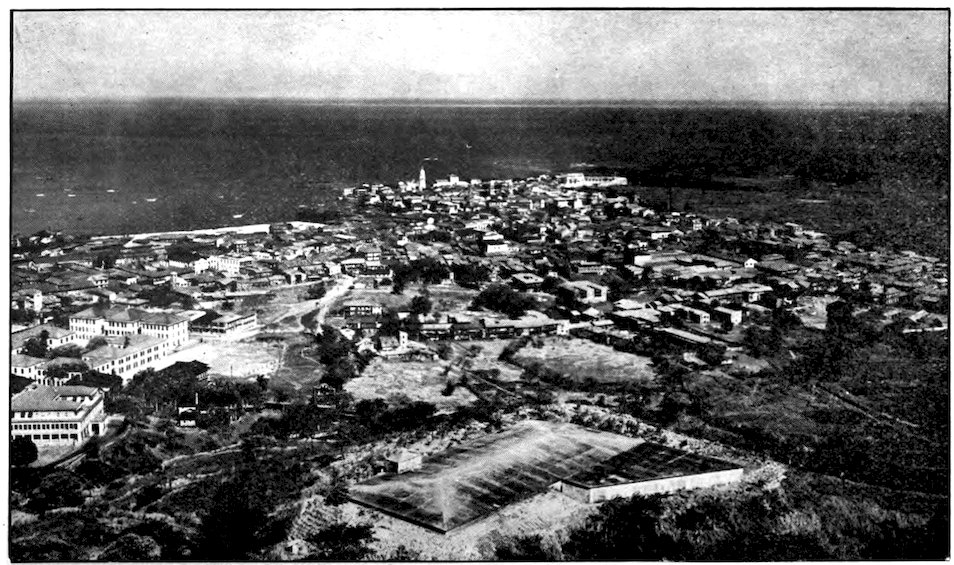
Canal Zone. Photo by E. Hallen, Official Photographer
The city of Panama from Ancon Hill, looking out across the Pacific’s broad expanse.
The slender connecting link between the two Americas is sometimes not considered a part of Central America. But surely it should be, now that it is a separate republic and not a part of Colombia in South America. Formerly called the Isthmus of Darien, it is the narrowest part of the Americas, at one point being only thirty-five miles wide.
Porto Bello, on the Atlantic coast of Darien, and now of little importance, was the first place on the American continents settled by white men. On September 1, 1513, the Spanish explorer Balboa set out from there with an expedition of 190 white men and a party of Indians, to see whether there was truth in the rumor that a great sea lay to the westward. Until then the men who followed Columbus across the Atlantic thought the land he had discovered was a part of Asia. Balboa fought his way through unfriendly tribes and difficult country for twenty-five days before he reached a hill from which, as Keats says,
(The poet made the curious mistake of crediting this discovery to “stout Cortés.”)
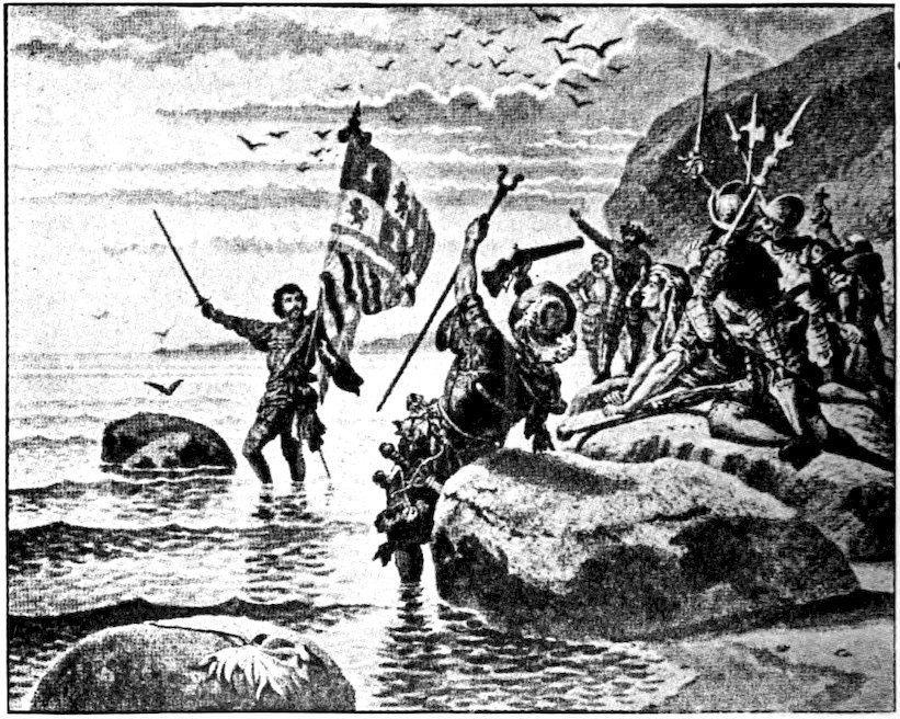
Balboa, after discovering the Pacific, went down to the shore and took possession of the ocean for the Spanish crown.
We say that Balboa discovered the Pacific, and in a sense he did, though in reality millions of people had seen it and men had sailed upon it for centuries before that. Erecting a crude cross on the hill from which he first viewed the ocean, he pushed on down to the coast, which he reached four days later. Rushing into the water, he claimed possession of the ocean and all the lands bordering on it in the name of the king of Spain. Of course Balboa did not know that this ocean washed the shores not only of North and South America, but of Asia, Australia, and hundreds of islands.
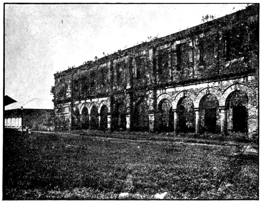
A ruin at Porto Bello, supposed to have been the Custom House during Spanish rule.
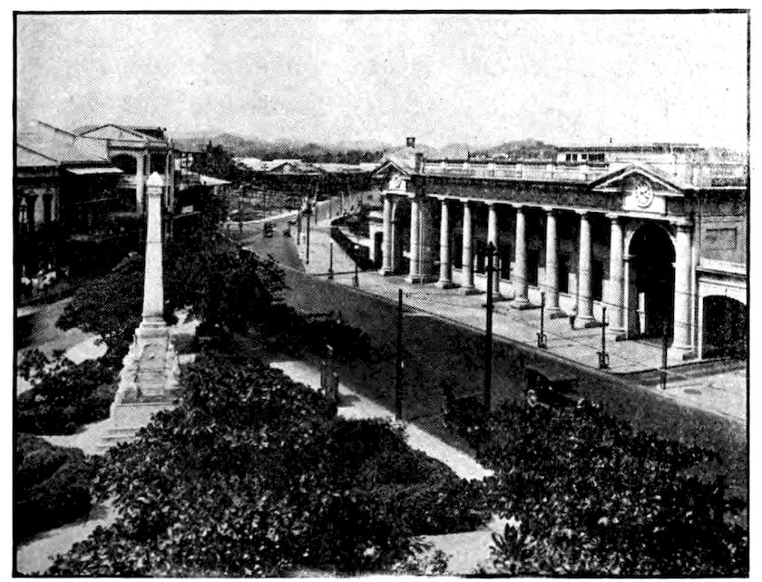
Canal Zone. Photos by E. Hallen, Official Photographer
The Panama Railroad’s handsome station in Panama City. How sharply it contrasts with the picture above!
In 1519 Panama City was founded on the Pacific side of Darien, and became the outfitting base for expeditions 262to Peru, the first one led by Pizarro, who began the conquest of South America for Spain. The Spaniards built, between Porto Bello and Panama City, a road that for many years was one of the richest trade routes in the world. All the gold and treasures sent from Peru to Spain passed over it. When the natural wealth of Peru declined, Panama slumped. No new settlers came and many of its old residents died from malaria and yellow fever. Finally it became so unimportant that it lost its rank as a separate dependency of Spain and was made a province of the viceroyalty of New Granada, which included the present republic of Colombia.
During the gold rush to California, Panama again became important. Many men chose to go by way of Panama rather than make the long, dangerous journey across the United States. Three Americans, seeing their opportunity, secured from Colombia a concession to build a railroad across the Isthmus. The first rails were laid in 1850, and five years later the Atlantic and Pacific were joined by the first continental railway, forty-seven miles long. By the time it was finished it had taken in $2,000,000. It carried 1,200,000 passengers in one year, beside much freight, including $50,000,000 worth of uncoined gold, sent from California to New York. The fare for that forty-seven miles was twenty-five dollars, and passengers had to pay extra for their baggage and mining outfits. To-day one can cross the isthmus in about four hours, as comfortably as if going from New York to Baltimore, and at about one-tenth the fare of the early days.
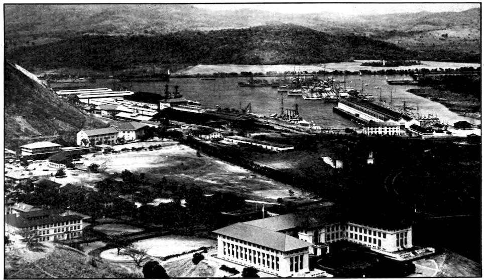
Canal Zone. Photo by E. Hallen, Official Photographer
Balboa from Ancon Hill, showing Canal Zone administration building in right foreground, schoolhouse (left foreground), baseball park, and harbor.
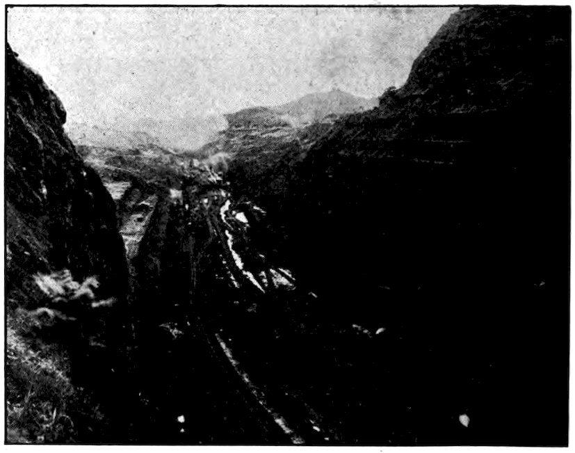
Culebra Cut in 1913 when the canal was being dug.
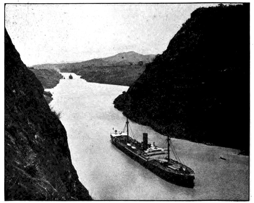
Canal Zone. Photos by E. Hallen, Official Photographer
Gaillard Cut at Gold and Contractor’s Hills.
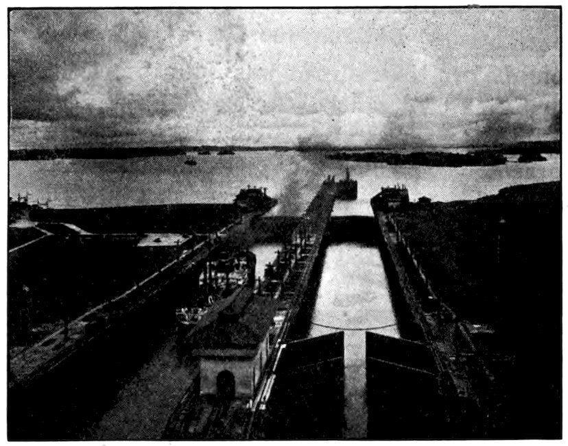
Gatun Locks, with Gatun Lake beyond.
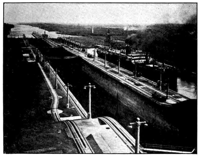
Canal Zone. Photos by E. Hallen, Official Photographer
A steamship in the Middle East Chamber, Gatun Locks.
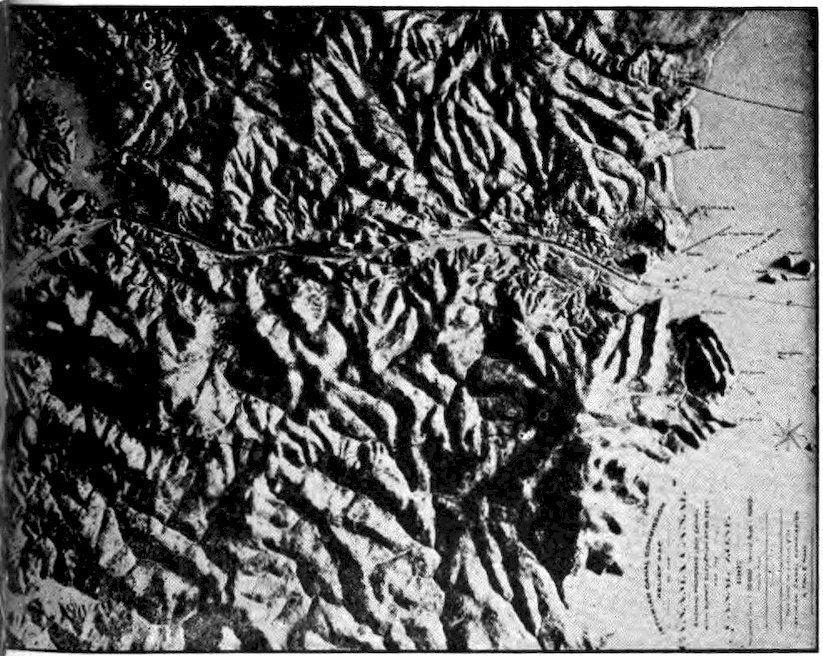
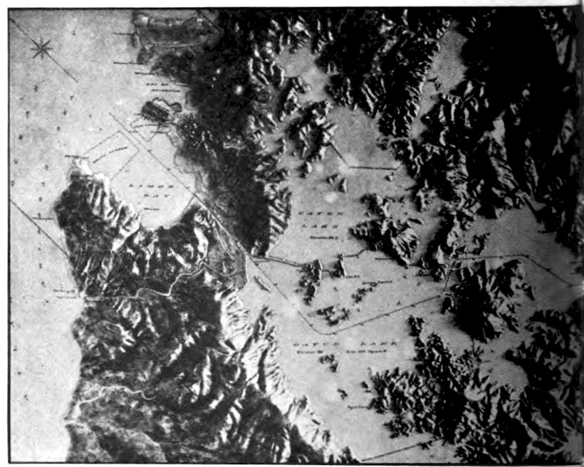
Canal Zone. Photo by E. Hallen, Official Photographer
Long before the railroad was built, people had begun to think of digging a canal across the narrowest part of the Americas. By such a short cut, ships could save thousands of miles between the two oceans. The French, who had recently finished the Suez Canal, started this job in the New World. But they soon discovered that Panama, with a rocky mountain chain running through it, was not Suez, where they had only to dig a ditch through a desert, in ground so soft and flat that they could simply throw the earth up on the banks. One assessment after another was levied on the French stockholders, until thousands of them had lost the savings of a lifetime. Ferdinand De Lesseps, engineer 267of the enterprise, was arrested, charged with stealing the stockholders’ money. But the difficulties of the task were chiefly to blame, and the French gave it up. Mosquitoes killed thousands of workmen by transmitting malaria and yellow fever. The French did not realize that it would be necessary to exterminate the mosquitoes before men could live long enough on the Isthmus of Panama to dig a canal.
Many Americans still thought the Nicaraguan route better for a canal between the two oceans, but the United States finally took over the French rights to the Panama Canal. We paid the French $40,000,000 and gave the new Republic of Panama $10,000,000 for the privilege of running the canal across its territory. We also promised to pay Panama $250,000 a 268year rental forever (beginning in 1913 when the canal was expected to be finished) for a strip of land ten miles wide across the isthmus and extending three miles into the sea at either end. The fact that Colombia earlier refused to sell or rent this land to us led the people of Panama to declare their independence. Finally, after years of argument, we gave Colombia $25,000,000 for the loss of her isthmian province.
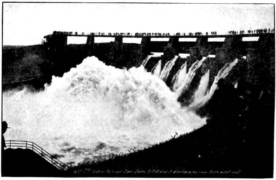
Canal Zone. Photo by E. Hallen, Official Photographer
The Great Gatun Spillway Dam, Panama Canal, which takes care of the overflow of water.
On May 8, 1904, we took over the Canal Zone and what the French had left there. For ten years that small strip of land was the busiest place on earth. As a member of the Canal Zone police force I spent six months there when the canal was nearing completion. One of my tasks was to help take a census of Canal Zone residents. We found 62,810 people, of 269whom 37,428 were employees of Uncle Sam, and helping in one way or another to dig the canal. Only 5,228 of the residents were Americans; nearly half were British subjects, mostly black people from the West Indies; the others came from more than fifty different countries.
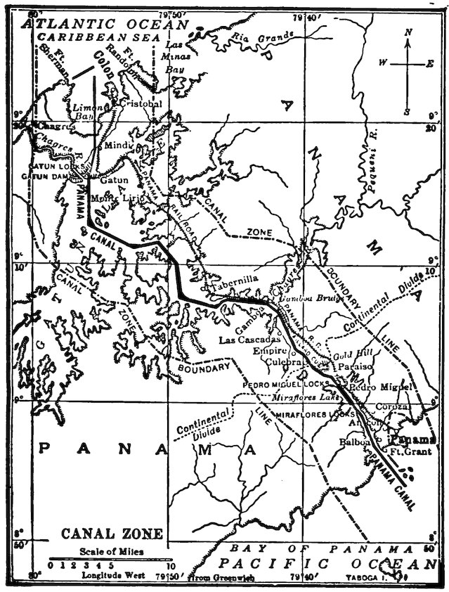
Map of the Canal Zone showing plainly that the Pacific end of the Canal is farther east than the Atlantic end.
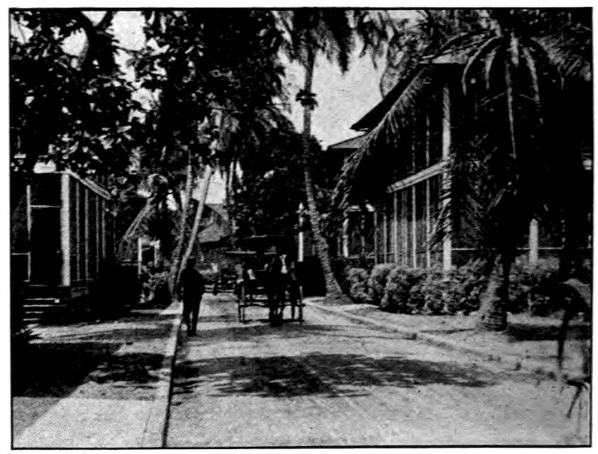
In the Canal Zone, Americans live in such houses as these.
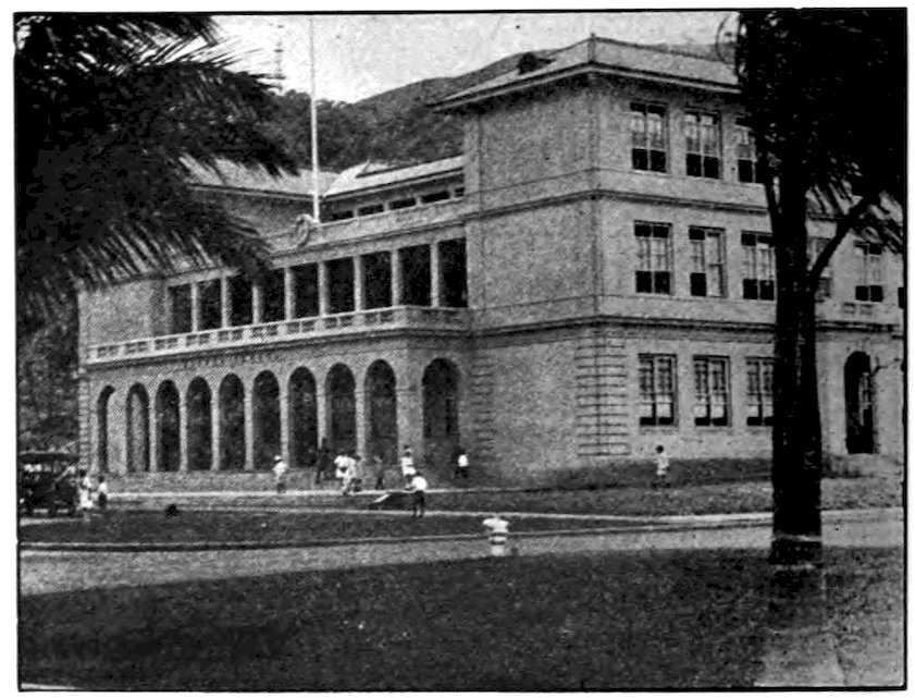
Photos from Ford Educational Weekly
American children at Balboa attend school in this fine building.
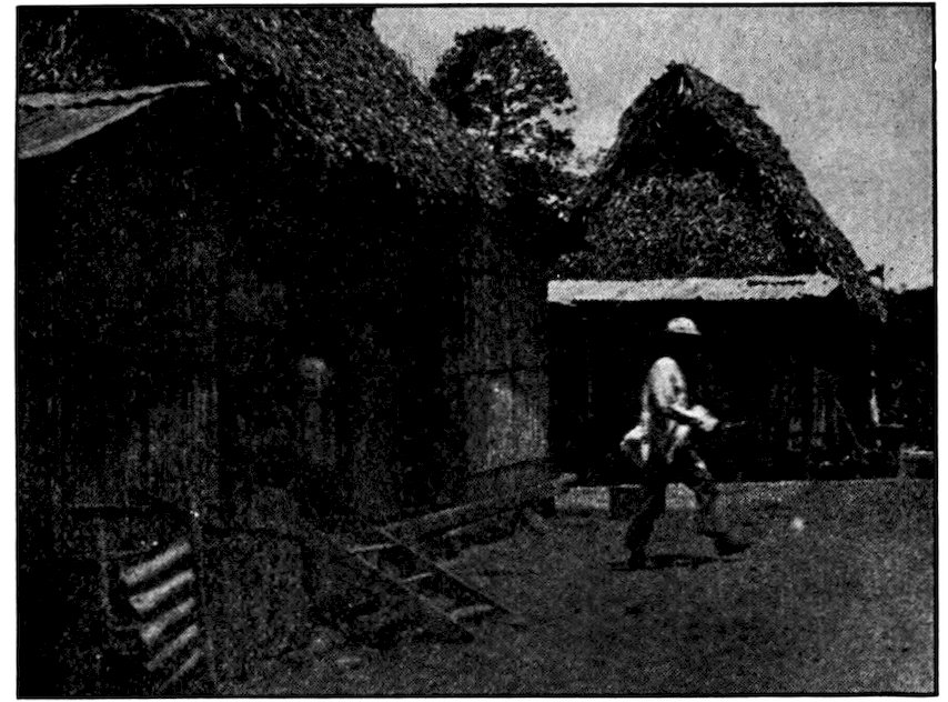
Natives of Panama outside the city live in such huts as this.
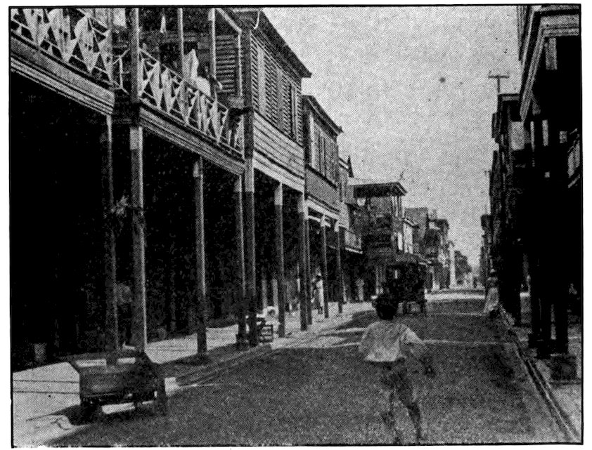
Photos from Ford Educational Weekly
A street of native houses in the old City of Panama.
Some of the men ran huge steam shovels that 272gnawed their way through the cordillera or “backbone” of the Americas, which here is only a few hundred feet high. To dig through those comparatively low rock hills was a formidable job. A miniature state grew up along the canal, with everything from ice plants to office buildings. There were dozens of towns, and thousands upon thousands of comfortable two-story screened bungalows to house American and other employees. We spent $43,000 a year just to keep down the mosquitoes that had driven out the French. Hundreds of trainloads of rock and earth were carried to the end of the Zone every working day and dumped in the sea or in out-of-the-way places. All this went on until the canal was opened in 1914, and even after that there was still digging and dredging and other work to do. The successful completion of the canal was made possible only by the energy and devotion of Colonel Goethals, General Gorgas and their associates. From the very beginning it was realized that the canal was a medical as well as an engineering problem. Without sanitation and preventive medicine the enterprise would surely have failed.
The Panama Canal Zone has become a wonderful place in which to live. The American Government runs everything, even the stores, the laundries, the restaurants, the hospitals, the rebuilt railroad. The several thousand Americans and many workmen of other nationalities who remain there to look after the canal do not use money in the stores, but pay with 273tickets issued to all government employees. The Canal Zone now has a lower death rate than the average American city or the United States as a whole. The thousands of American children who are born and live there have splendid schools, magnificent playgrounds, and a perpetual summer. They become wonderful swimmers, for they can swim outdoors every day in the year.
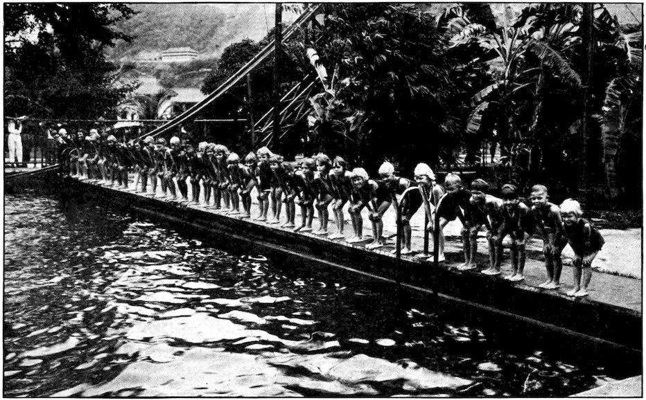
Canal Zone. Photo by E. Hallen, Official Photographer
In the Canal Zone outdoor swimming is possible all the year round. Some splendid swimmers have been developed there, and they begin early. This picture shows the youngest members of the famous Red, White and Blue Swimming Troupe at the Balboa Pool.
274American women in Panama keep house rather differently from those in the United States. They have plenty of servants. There are no stoves, except for cooking, but electric lights burn day and night in clothes closets to keep the clothing from mildewing. Light and power come from the Spillway, over which flows the surplus water from Gatun Lake. Electricity costs the government very little and the employees nothing at all. The air from the land is like that of July at home, but almost always a soft, cool, refreshing breeze blows in from the ocean. There is a yearly rainy season, yet even that is not so very unpleasant.
A trip across the Canal Zone is like a ride through botanical gardens. Strange trees, many of them enormous, often with air plants and orchids growing on them, stand forth above the dense jungle. Clumps of feathery bamboo wave like huge ostrich feathers in the breeze. There are delicious alligator pears, papayas that look like muskmelons, mangoes. Some of the finest pineapples in the world grow on Taboga, one of the several small islands at the Pacific end of the canal, a favorite place for picnics and short vacations. There are few more delightful places in the 275world than the Canal Zone, and if you ever have a chance to go there, by all means do so.
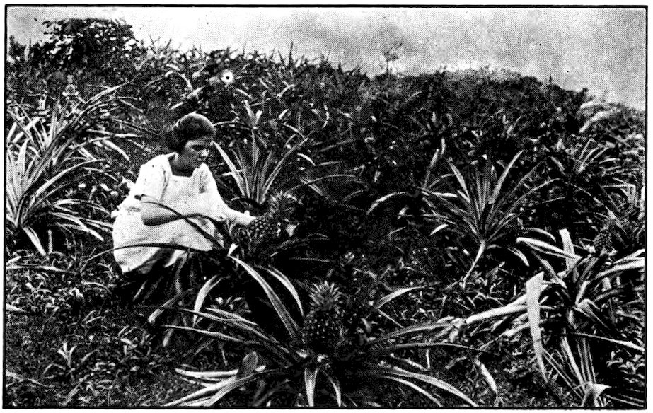
Canal Zone. Photo by E. Hallen, Official Photographer
Delicious pineapples grow in the Canal Zone.
Not long ago I had the pleasure of visiting the Canal Zone again. It was hard to realize that the great cut had been made by steam shovels. To-day it looks like a natural valley. From fifty to seventy vessels can be passed through the canal in a single day, depending on their size. Electric locomotives known as “mules” draw ships through the three locks at each end of Gatun Lake, which is eighty-five feet above the oceans. Huge steel doors, high as a ten-story building, open and shut noiselessly. Water rushes in or pours out through enormous concrete pipes, and quickly lifts or lowers a ship. Then another gate ahead opens, the “mules” tow the ship into the next lock, and the process is repeated. Great liners or war vessels are handled as easily as the smallest sailboats.
The Canal Zone is only a very small part of the Republic of Panama, though to Americans and to the world at large it seems far more important than the rest. Panama has 32,400 square miles and about 400,000 inhabitants, outside the Canal Zone. There are numerous streams, one of them navigable for a hundred miles. Much of the republic is mountainous. Outside the limits of the Canal Zone it is the least developed of any Central American country. There are no cities of any size besides Colón and Panama City, at the two ends of the canal. Although these are inside the ten by fifty mile strip, they are not governed by the United States, though our government exercises its influence to keep them cleaner than most Central American cities.
Colón was long known as Aspinwall. “Colón” being Spanish for Columbus—a far more important man than the Englishman Aspinwall who once lived there—Colombia long ago refused to receive letters addressed to Aspinwall or to harbor ships whose papers used the offending name. So that name died out, and only now and then does an “old-timer” still use it. Colón is rather a commonplace city, with checkerboard streets and wooden shops and houses, but it is much more up-to-date than most cities of Central America.
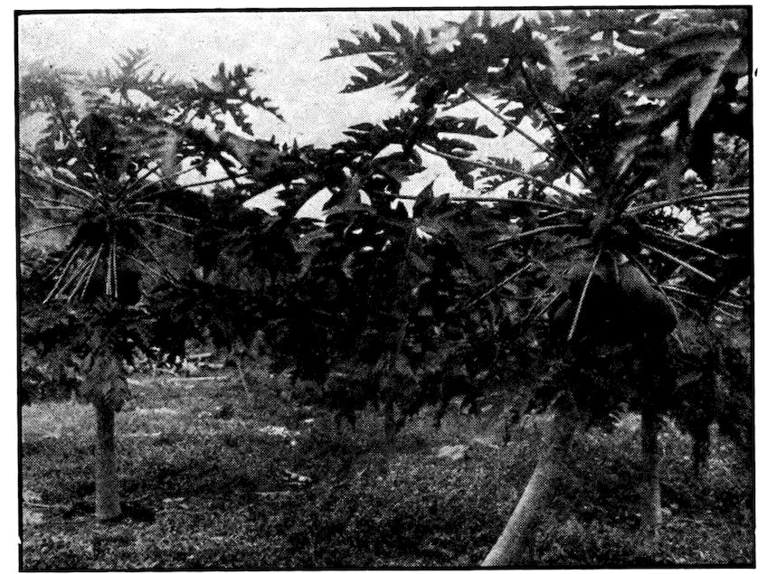
Papaya fruit is very large and grows in clusters. These trees are on Bracho Plantation, Panama.
Canal Zone. Photos by E. Hallen, Official Photographer
Cacao trees, Las Cascadas Plantation, Panama. The flat cars carry drying trays.
Panama City, capital of the republic, is a more interesting place. Its history alone makes it worth visiting. Old Panama City was founded more than a hundred years before the Pilgrims landed on Plymouth Rock. In 1671 it was destroyed by the famous English pirate 278Henry Morgan, who killed and tortured many people and carried off 175 donkey-loads of treasure. (Some of the valuables he left behind have been discovered recently.) Later Morgan bought his pardon from King Charles II, was knighted, and became governor of Jamaica. The present city was built in 1673, about five miles from the old one. The ruins of the first city are a favorite place for Canal Zone picnics.
The Panama City of to-day is built on a rocky projection almost surrounded by the sea. A huge stone wall thirty feet high nearly encircles it. It has well-paved streets, trolley cars, water and sewerage systems. On one side of the central plaza, where both Panamanians and Americans promenade, is the bishop’s palace, and on another the cathedral, its twin towers covered with mother-of-pearl. The best buildings in the town were erected after Panama declared its independence. Some of its stores and customs remind one of the United States. Yet many of the people still do their work out on shaded sidewalks, in the old Spanish-American fashion. Women sit there sewing, and so do tailors. If we stop in the plaza to rest, men, women, and even children offer us lottery tickets. It is forbidden to sell them in the Canal Zone, but they may be had in Panama City or Colón.
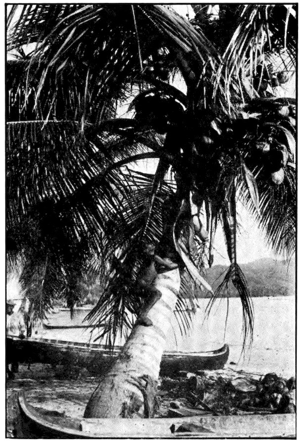
Canal Zone. Photo by E. Hallen, Official Photographer
A San Blas Indian climbing a coconut tree.
One of the amusing things to see at Panama is the sun rising from the Pacific. “The Pacific!” you exclaim. “Why, only people in Japan or Hawaii could do that.” However, if you look carefully at the map on page 269 you will find that a person at Panama City actually could see the sun come up out of the Pacific Ocean. Since South America lies far east of North America, the land connecting them has to run east-west more than north-south. But it does not run straight at all. The outline of Central America makes one think of a roller coaster, with a number of loops that form gulfs. On one of these gulfs is Panama City. It is twenty-three miles farther east than the Atlantic entrance to the canal, and it is so placed on the Gulf of Panama that one looks eastward across the water.
The Republic of Panama has the usual tropical products. Chiriquí Province, much of which is 3,000 feet above sea level, is noted for its grazing lands and its excellent cattle. “Panama hats,” by the way, were never made in Panama, but in Colombia and Ecuador. They got their name from being carried across the isthmus on their way to the United States and Europe. Panama Republic has only the beginning of a railway system and practically no roads at all. More than half its territory is uninhabited, and only a small part of the rest is cultivated. The average Panamanian works only enough to procure the bare necessities of life. His food, shelter, and clothing are of the simplest. Yet the country has large areas of very fertile land, and other valuable resources, and in time it may become a wealthy member of the family of nations.
The most interesting people in the Republic of Panama are the San Blas Indians, whose territory begins about fifty miles below the Canal Zone and continues to the border of Colombia. They are small but very sturdy, with remarkable chests and shoulders, and are expert boatmen and swimmers. They navigate the Atlantic coast in fifteen-foot dugouts, and sometimes bring fish and fruit to Colón. Although they treat white men politely in the daytime, the San Blas Indians seldom allow strangers to stay in their territory after dark. Having preserved their tribal identity through four centuries since the white man’s arrival, they propose to remain independent just as long as possible. Therefore they never intermarry with the 281whites, and no one has been successful in persuading them to give up the primitive life of their forefathers.
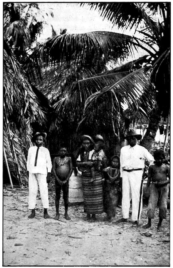
Canal Zone. Photo by E. Hallen, Official Photographer
A San Blas Indian family standing in front of their home.
282Here we are at the end of Central America! It has been a pleasant and an interesting, if sometimes a rather rough, journey. Those of you who wish, may start for home, boarding a fast comfortable steamer at Colón or Panama City; but I am going on to South America, and I shall be glad to have anyone come along who would like to visit the countries of that great continent.
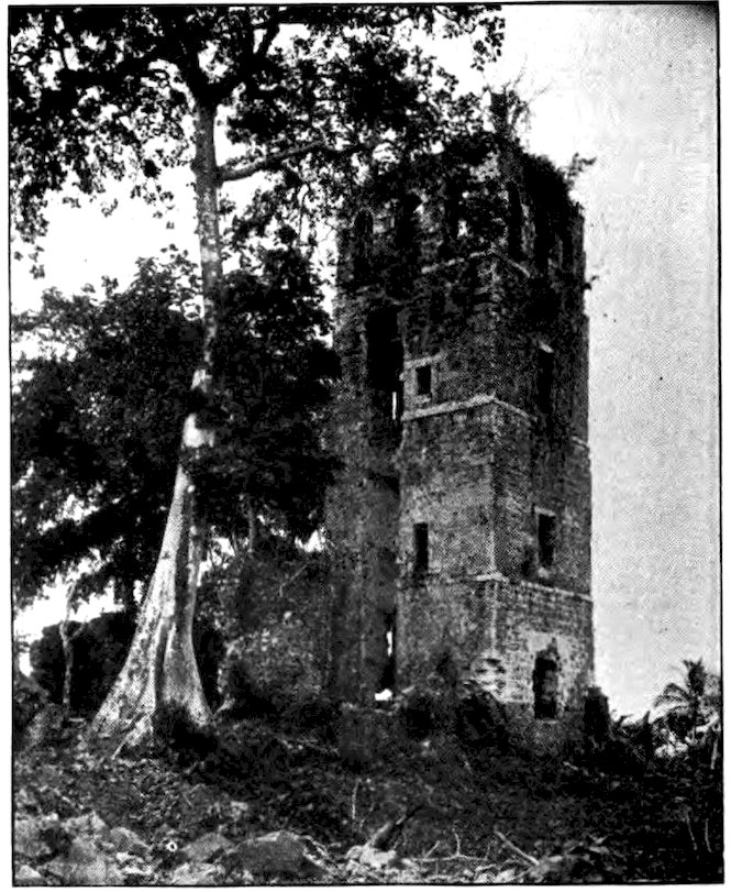
Canal Zone. Photo by E. Hallen, Official Photographer
Ruins of old Panama—Cathedral tower, showing rounded opening in which there was once a spiral staircase to the belfry.
AUTHOR’S NOTE: The pronunciation of Spanish will not be found difficult, as the number of sounds is few, and there is little variation. There are some differences between Spanish as spoken in Spain and Spanish as spoken in Latin America, and since this book relates to Mexico and Central America it seems best to indicate sounds as they would be given there. Some words in this book, also, are of Indian origin, and are therefore pronounced somewhat differently. One who is interested to go more deeply into the matter will find information under “A Guide to Pronunciation” in Webster’s New International Dictionary. The symbols of that dictionary have been used in the following list.